
Mt Huntley
Main Range National Park


Menu

A steep walk up one of the lesser climbed peaks on the Great Dividing Range. Though Mt Huntley is usually tackled when doing the Main Range traverse, this route allows you to directly hit the summit in a single day trip.

Getting there
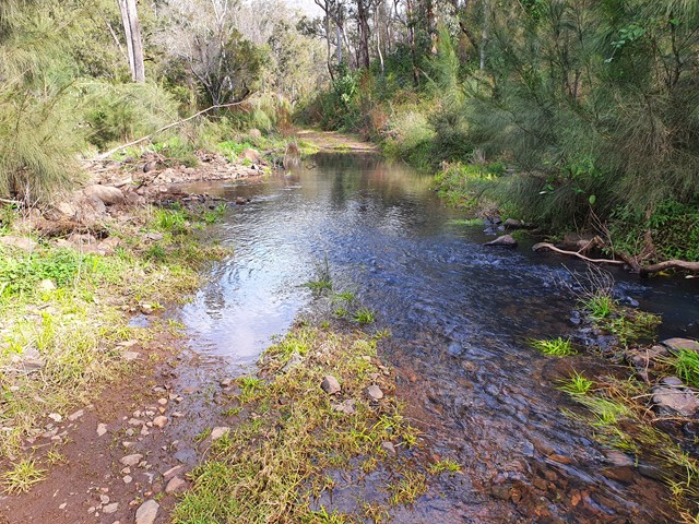
Set your GPS for Top Swanfels Rd, and travel until you reach a gate preventing you from going any further, this is where you will park your car. Be aware that after rain there will be multiple creek crossings. Would be advisable to have an SUV at the very least just for the clearance.
Route/Trail notes
The walk commences at the gate (which you will need ot hop over). Remember to treat the gate and the road with respect as there are people who live on properties out here, don't be the person who ruins it for everyone else. The initial fireroad is easily followed, but be advised that after rain you will have to make multiple creek crossings - may be worth bringing some water suited shoes for the first part of this walk. A fireroad will eventually appear on your right (the one after the private property driveway), follow that and begin making your ascent. Before too long you will reach another gate you will need to pass through, don't accidentally take the fireroad that runs to the left. Continue ascending until the road begins to hook to the right, there you will see a faint track leading up the ridgeline - this is where things start becoming a bit more complicated.
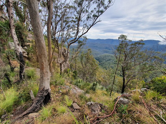
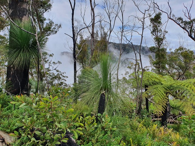
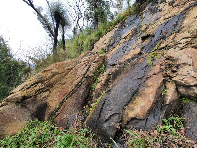
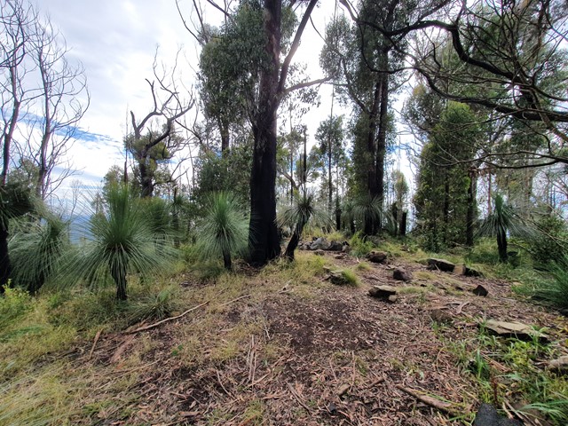
The track between here and the cliffline is actually pretty well marked considering, but you are travelling through thick vegetation so it is very easy to lose. Essentially what you are aiming to do is to stay on the spine of the ridgeline - the track cut through the vegetation zigzags right along the spine. You will eventually emerge from the scrub and see a big cliff appear in front of you, follow the track that hugs the cliff to the right. It probably goes for 150 meters or so before it comes to an abrupt stop - this is when you must scramble up the rocks and dense scrub to get back on the ridgeline. Take extreme care doing this, a slip could result in an injury. At the top you will see a new (smaller) cliff. You can climb up on it for some photos but don't follow it til the end otherwise you will have to backtrack as there is no way off it at the other end. The track actually continues to left of this cliff - no climbing required. From here things get signigicantly easier. Stay to the left of the next small cliffline and after 15 meters or so you will see a rough track leading to the top of it (nothing terribly complicated). No more cliffs to climb after this, just follow the faint track all the way to the summit where you will be rewarded with a camping area and some pretty underwhelming views - best views are along the way.
Permits/Costs
No cost.
Other References
https://www.wikiloc.com/hiking-trails/mt-huntley-2021-update-75689393
GPS Tracks
- No GPS available for this walk yet.
 12
12 6
6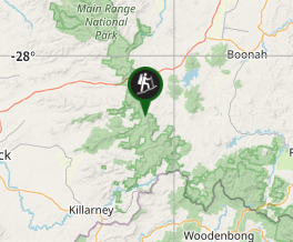
Comments