
Menu
Popular Walks
-
Coomera Circuit
(234 ticks) -
Daves Creek Circuit
(224 ticks) -
Box Forest
(222 ticks) -
Morans Falls
(221 ticks) -
Caves Track
(204 ticks)
Summary
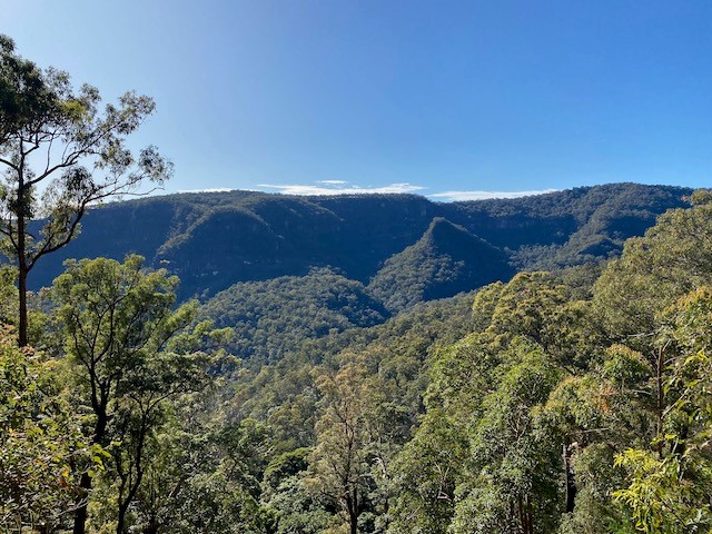
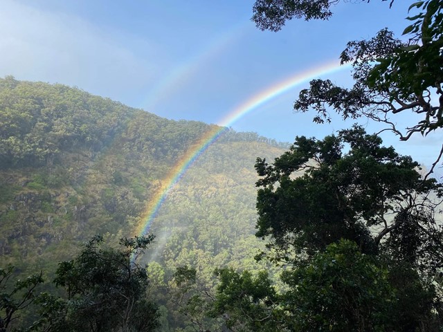
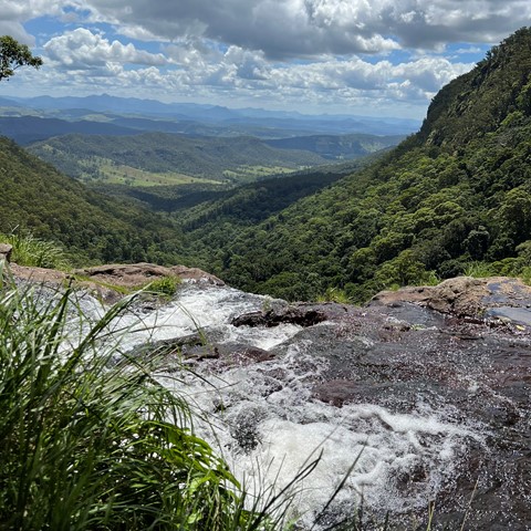
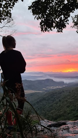
Lamington National Park is a 206 square kilometre park on the McPherson Range on the Queensland-New South Wales border. The park features beautiful rainforest waterfalls, amazing views and a comprehensive series of clearly marked tracks.
Popular Walks
-
Coomera Circuit
(234 ticks) -
Daves Creek Circuit
(224 ticks) -
Box Forest
(222 ticks) -
Morans Falls
(221 ticks) -
Caves Track
(204 ticks)
History
Any interesting history for the region?
Features
What are the standout bushwalking features?
Access
Green Mountains (O'Reilly's)
Exit the M1 at Nerang and follow signs to Canungra (signs also indicate Lamington National Park or O'Reilly's). Turn left into Kidston Street and follow this road up the mountain (don't miss the great views along the way!) to the carpark adjacent to the QPWS Information Centre, campground and O'Reilly's Guesthouse.
Note that the road, although sealed, is narrow and winding and has many blind corners. Take care!
Binna Burra
Exit the M1 at Nerang and follow signs to Beechmont. Follow the signs from the roundabout at Beechmont to Binna Burra.
Maps
A number of SUNMAP 1:25000 topographic maps cover Lamington National Park including Lamington (South-West of the park), Tyalgum (South-East) Hillview (North-West) and Beechmont (North-East).
Hema maps also provides a comprehensive 1:35000 map of the park.
Accommodation
Camping
A National Park campground is available in the Green Mountains section. Sites must be pre-booked on weekends and holidays, but you may self-register at other times.
Remote, walk-in camping is allowed at designated sites between February and November. These sites must be pre-booked through the QPWS (see website below).
A private campground is available at Binna Burra
Other
Resort accommodation is available at O'Reilly's Rainforest Guesthouse and Binna Burra Mountain Lodge as well as various other options around the surrounding area.
Contact details
EPA Website - http://www.epa.qld.gov.au/projects/park/index.cgi?parkid=97
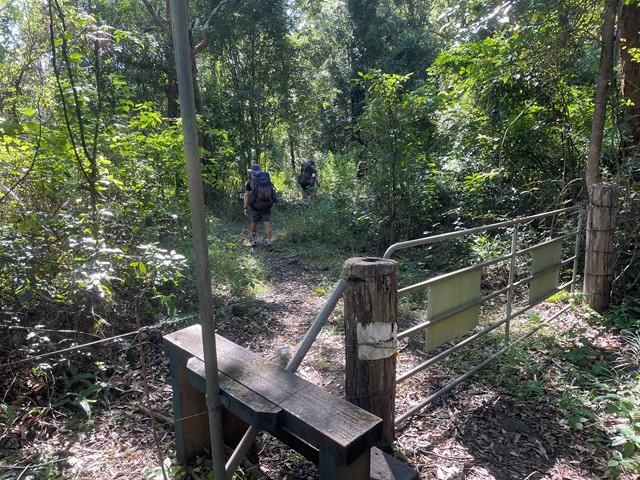
Walks in Lamington National Park

 15
km
15
km
 10
hrs
10
hrs
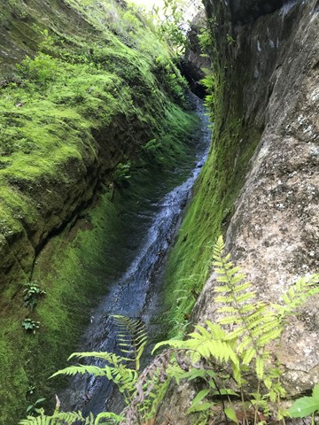
Coomera Gorge
A hard offtrack footslog up the Coomera river from Gwongoorool Pool.
 12
km
return
4
hrs
12
km
return
4
hrs
Daves Creek Circuit
Starting near the Teahouse at the top car park at Binna Burra, the Dave's Creek Circuit track starts some two kilometres along the Border track and then branches off and follows the Ships Stern circuit track before branching off again. Well sign posted, good tracks and some good views from the Numinbah lookout. There is also a small cave side track that is sign posted - Molongolee Cave - detour right at the sign. On the way back don't miss "Surprise Rock".
There are no steep ascents or descents, a reasonably gentle, undulating track.
 54
km
one-way
3
days
54
km
one-way
3
days
Great Walk! Gold Coast Hinterland
A walk from Green Mountains via Binna Burra to Springbrook National Park. Passes massive stands of Antartic Beach, glorious lookouts and magic waterfalls.
 6
km
2.5
hrs
6
km
2.5
hrs
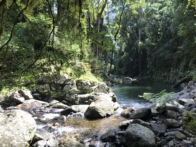
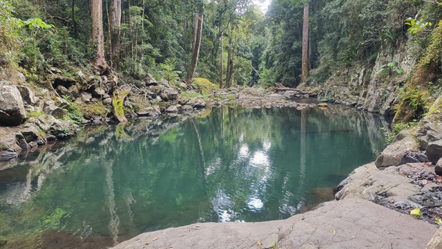
Gwongoorool Rock Pools
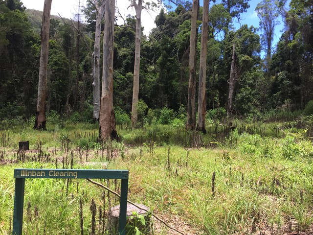
This track branches off the Illinbah circuit and descends through open forest and rainforest to Gwongoorool Pool on the Coomera River. Return via same track. (Illinbah circuit commences at the car park near the information centre).
 17
km
6.5
hrs
17
km
6.5
hrs
Illinbah Circuit
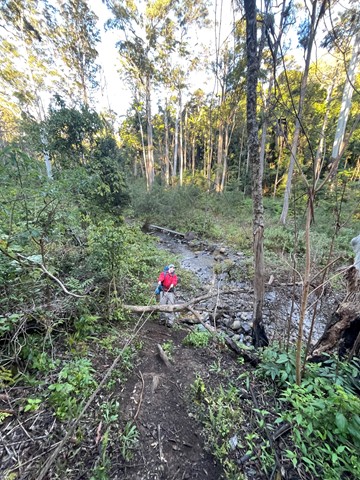
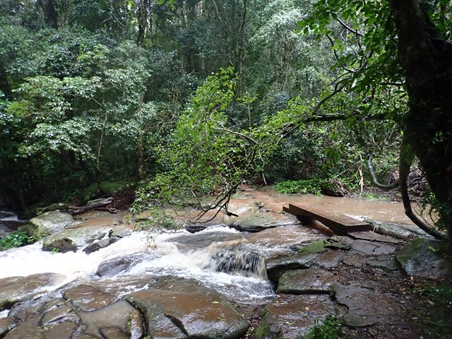
This track explores the lower reaches of the Coomera River. And there are many river crossings. The track may change slightly after heavy rains.
 15
km
return
5
hrs
15
km
return
5
hrs
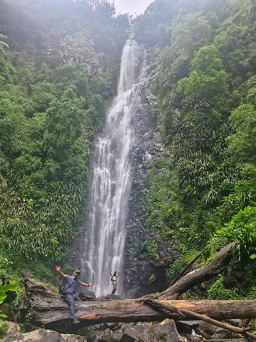
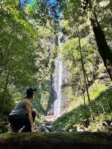
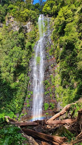
Larapinta Falls
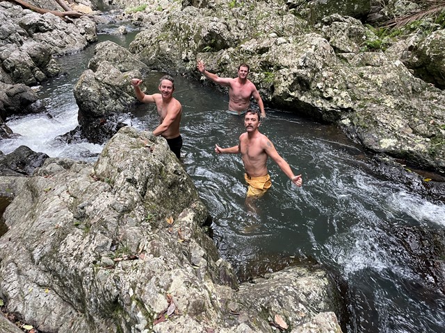
This walk is an extension of the hike to Westray's Grave (see https://www.aussiebushwalking.com/qld/lamington/westray-s-grave-from-christmas-creek) along Christmas Creek. The other known walk on this route is to the Stinson crash site.
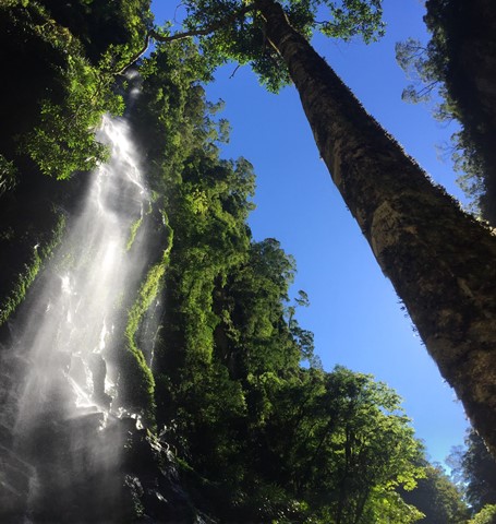
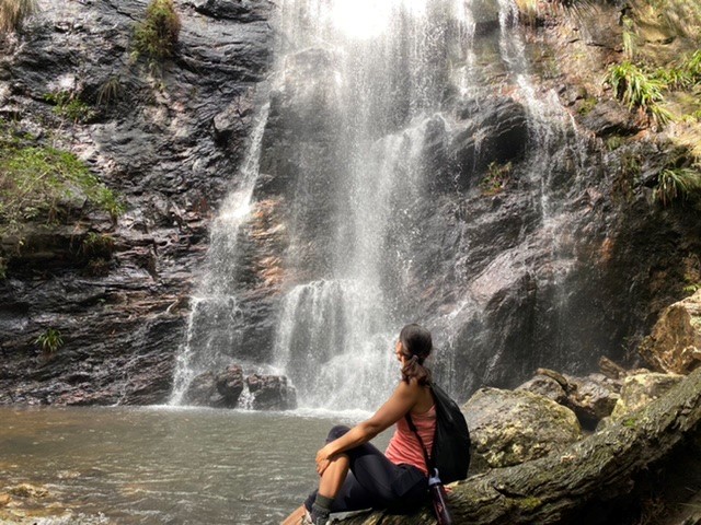
Without a word of hesitation I would recommend that if you go to Christmas Creek you must check out Larapinta Falls as they are absolutely spectacular and made even more special by the fact that you can swim right under the cascade which is over 30 metres high.
Absolutely worth doing, the falls are spectacular and there is nothing like swimming under such a large waterfall. Beautiful scenery though it is fairly well out in the sticks so be prepared.
 11
km
return
4
hrs
11
km
return
4
hrs
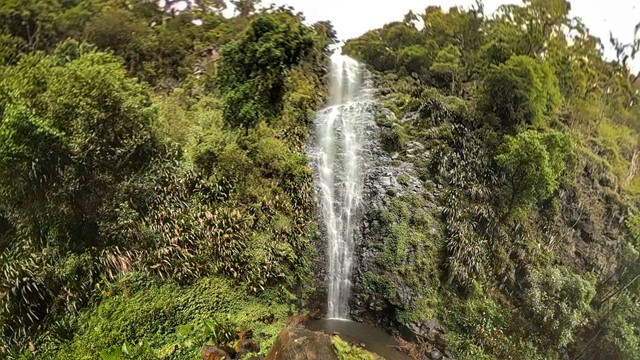
Lower Ballanjui Falls
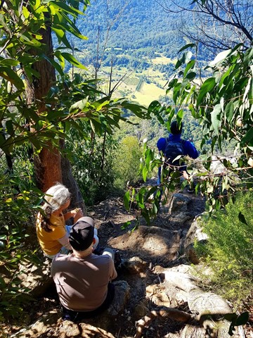
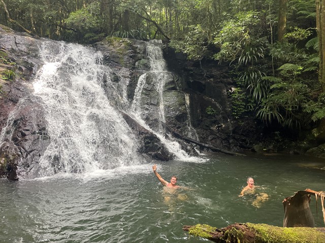
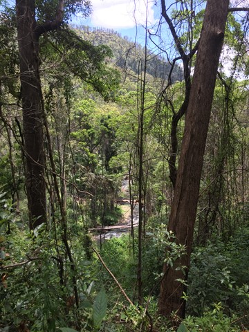
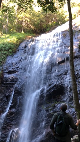
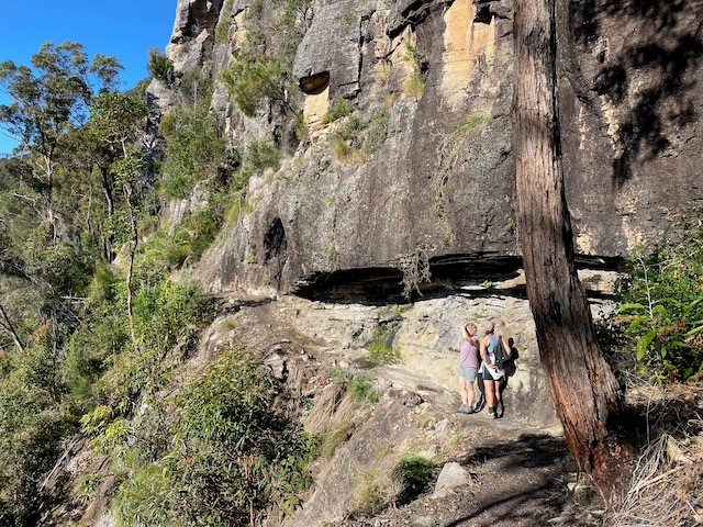
This track uses part of the Ship's Stern track as far as the bottom of Nixon's Creek Valley. It passes through a small section of rainforest at first before the Bellbird Circuit leaves on the left. The track then descends more sharply into the Nixon's Creek valley through eucalypt forest and patches of rainforest. There are good viewing areas at Koolanbilba and Yangahla Lookouts which allow the walker to see views of Egg Rock, Turtle Rock, the Numinbah Valley and Ship's Stern. Down the track, the outcrop known as Kong Gong Rock is reached with the track passing through a cleft in the rock. The track now winds down through eucalypt forest and reaches the Lower Bellbird Circuit junction. Further down are magnificent stands of flooded gum and a giant red cedar. The track to Lower Ballanjui Falls now leads off to the right and follows the creek up towards the base of the falls. The falls are best seen during the wet season of December to March, but are always very beautiful. This is an area where it is wise to carry leech repellent.
 12
km
return
3.5
hrs
12
km
return
3.5
hrs
Lower Bellbird Circuit
This circuit branches off ship's stern 3.7 km from the trail head. It passes through a variety of habitat types and there are some impressive views. You can start from either just south of the information center (500 m) and walk clockwise or start at Binna Burra and walk anticlockwise. Either way, you'll be walking down or up 2.5km of road. A nice 3 km diversion is to go down to Lower Ballunjul Falls.
 7
km
3
hrs
7
km
3
hrs
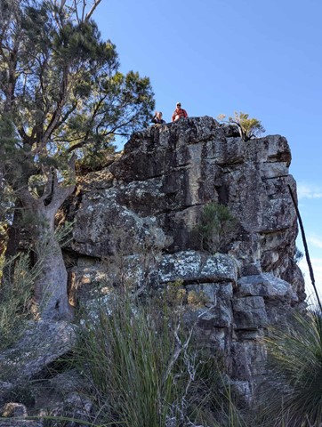
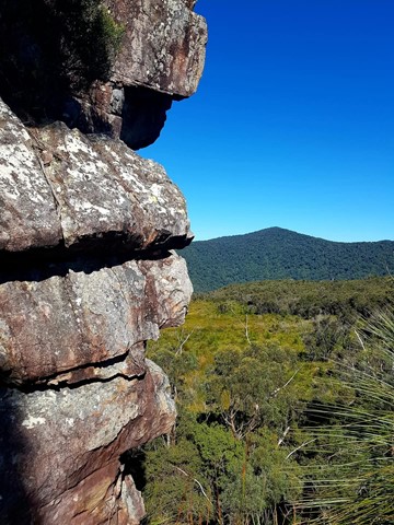
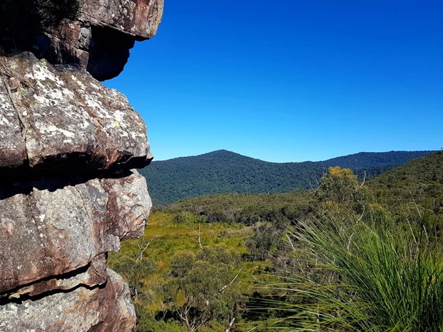
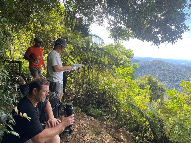
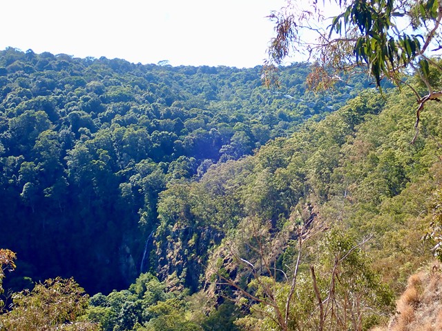
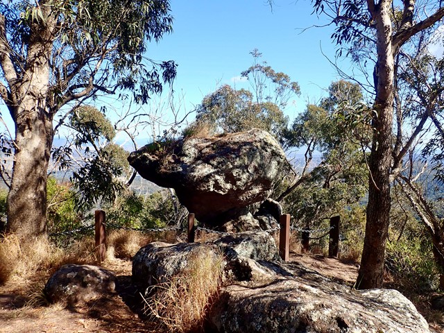
Moonlight Crag, Balancing Rock and Castle Crag
Visit a few fantastic lookouts which capture the amazing Lost World Plateau, Moran's Falls and the border ranges including Mt Throakban. Can be combined with Moran's Falls, Lyrebird Lookout or the Wishing Tree walks.
 4.4
km
return
90
mins
4.4
km
return
90
mins
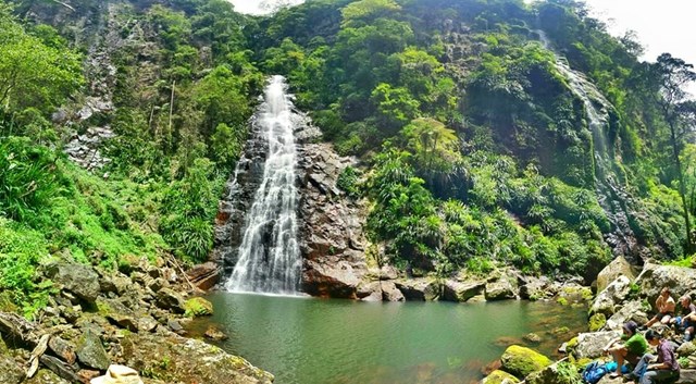
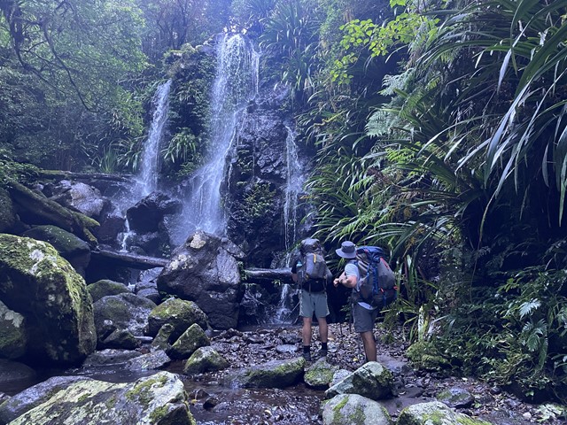
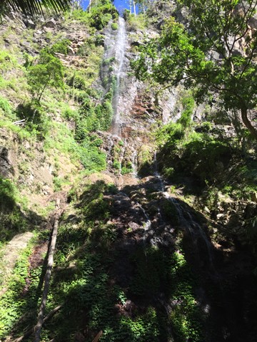
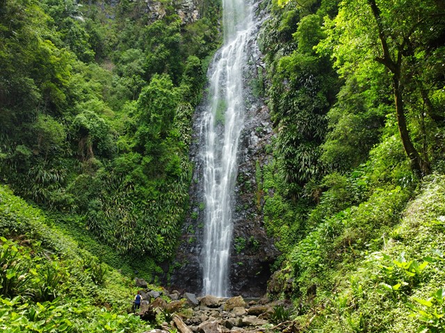
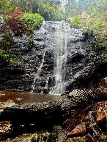
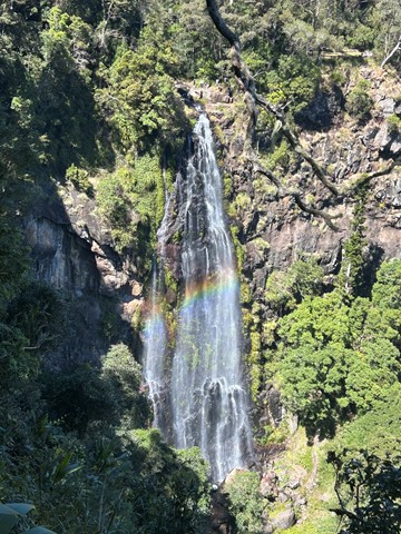
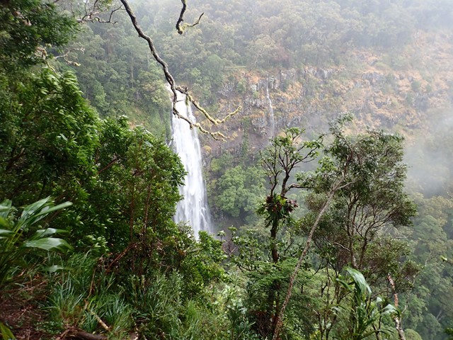
Morans Falls
Visit the falls near the O'Reilly's original hut on the plateau and grab some great views of the waterfall and across the gorge towards Castle Crag.