
Menu
Popular Walks
-
Somerset Trail
(293 ticks) -
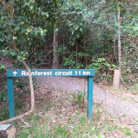
Greenes Falls via Rainforest Circuit + Cypress Grove Circuit
(222 ticks) -
Morelia Track
(135 ticks) -
Thylogale Track
(126 ticks) -
Piper Comanche Wreck
(108 ticks)
Summary
Situated in South East Queensland, west of Caboolture.
Popular Walks
-
Somerset Trail
(293 ticks) -
Greenes Falls via Rainforest Circuit + Cypress Grove Circuit
(222 ticks) -
Morelia Track
(135 ticks) -
Thylogale Track
(126 ticks) -
Piper Comanche Wreck
(108 ticks)
Walks in D'Aguilar National Park

 10
km
10
km
 5
hrs
5
hrs
Middle Kobble bush camp walk
Remote bush camping in an open grassy area next to Kobble Creek, in the remote northern section of the park. A short walk takes you to the top of the Kobble Creek waterfall. Keep an eye out for the prehistoric-looking Lepidozamia (cycads) on your walk to the bush camp. Skinks and keelbacks (freshwater snakes) can be seen basking on the rocks at the top of Kobble Creek waterfall. Bottlebrush plants flower along the creek beside the bush camp in spring.
 1.3
km
return
1
hr
1.3
km
return
1
hr
Mill Rainforest Walk
Part of the Mt Mee section of the D'Arguilar National Park.
This subtropical rainforest track provides great opportunities for birdwatching. The track entrance is accessed by a short unsealed formed gravel road
 6
km
return
2
hrs
6
km
return
2
hrs
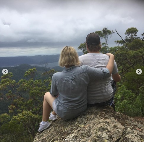
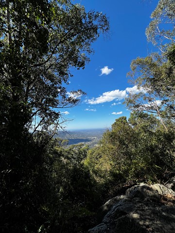
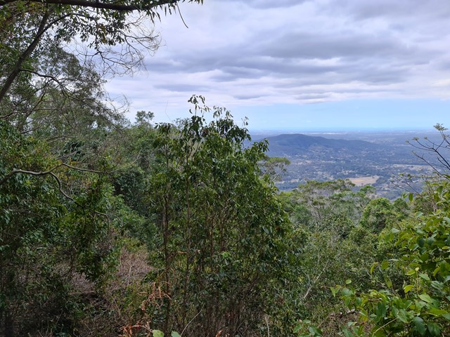
Morelia Track
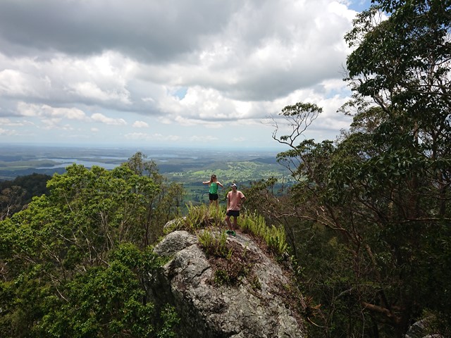
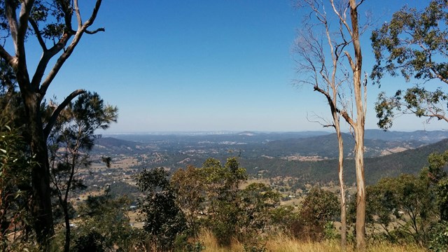
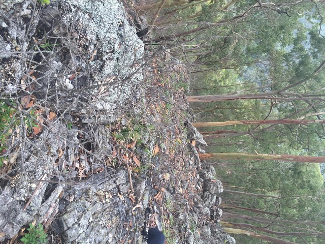
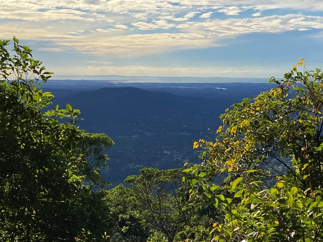
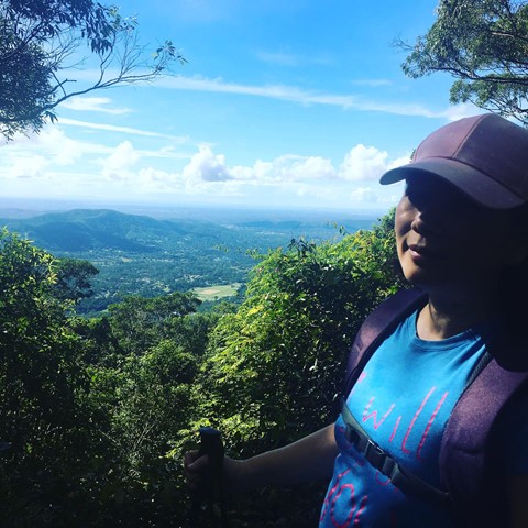
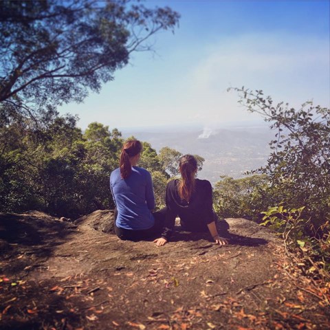
This track takes walkers from the Manorina car park to Mount Nebo lookout. Trek through wet eucalypt forest containing groves of cabbage tree palms, recognised by their huge, fan-shaped leaves. At Mount Nebo lookout, enjoy spectacular views over the Samford Valley to Moreton Bay. The track is well defined and gently-sloping. Keep your eyes peeled for a few of the old track markers with distances marked in miles.
 5
km
return
90
mins
5
km
return
90
mins
Mount Byron
Out and back trail to Mount Byron that can be accessed by 4wd or added onto a walk of the Somerset Trail. Walk is initially along fire trail up and over the summit of Mount Byron before it ends on the far side from there continue along single trail to enjoy views from the cliff line on the Southern side of Mount Byron.
 6
km
return
2
hrs
6
km
return
2
hrs
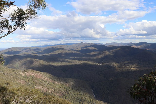
Mount D Aguilar
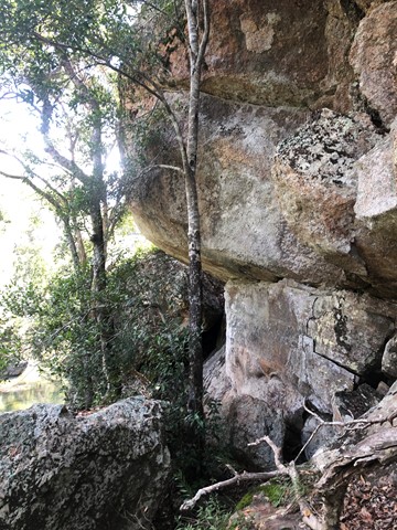
A walk to the titular peak of the D'Aguilar National Park, which can easily be combined with a side trip to the Piper Comanche wreck.
35
km
return
8.5
hrs
Mount Mee Section
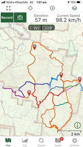
Excellent training walks for events like Gold Coast Kokoda. Some sections in particular the horse trails can be quite steep and long. There are flatter options if you stick to Range Road etc. Mobile service is scratchy. Can share GPS map of my walks.
 7.6
km
return
4.5
hrs
7.6
km
return
4.5
hrs
Mount Samson
Sorry, this walk is now closed. This area is now private property, no entry is permitted.
 18
km
10
hrs
18
km
10
hrs
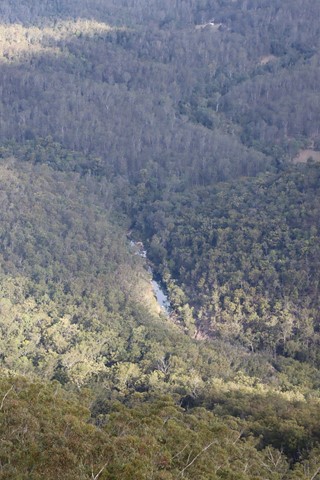
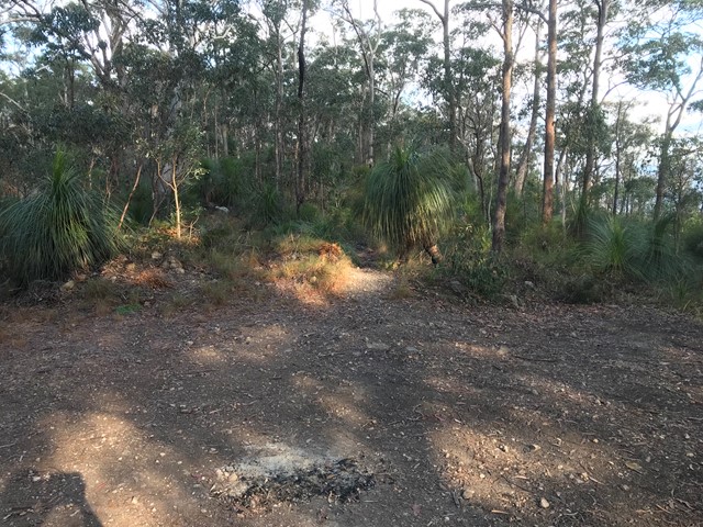
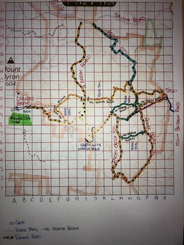
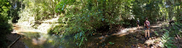
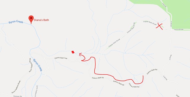
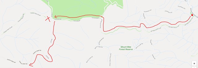
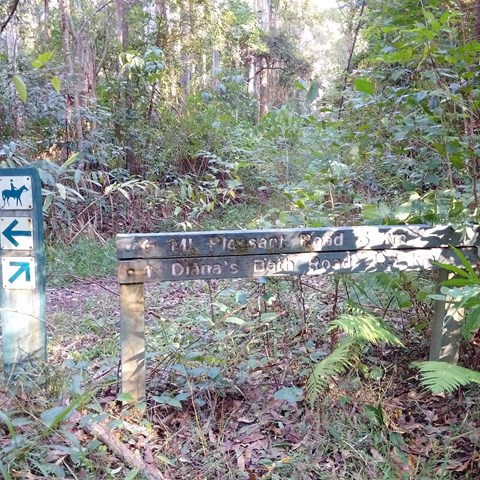
Mt Mee Horse Trail - Dianas Bath
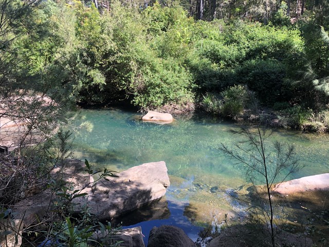
Follow the Mt Mee horse trail through a variety of forests to a stunning natural waterhole known as Dianas Bath.
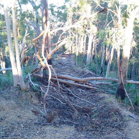
This walk traverses two peaks, with a total rise and descent of 600m each way (so 1.2kms overall!!). The trail is loose weathered gravel and stones, is often very rutted and is quite slippery going up and much more slippery going down! The hills are between 15-29% gradients and quite long so you need to be very fit.
Much of the trail is overgrown with grasses and lantana, as well as the occasional fallen tree but the waterhole at the end is worth the walk, and definitely worth a swim!
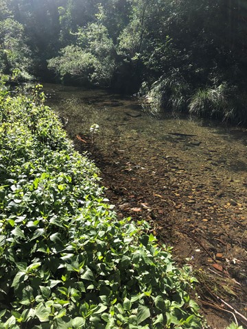
Just after the first descent you cross Byron creek, which flows all year round and the rocks can be quite slippery. The water in this creek is a stunning shade of blue and crystal clear!
Start and end at the carpark just off Mt Brisbane rd - no messing around here - the walk immediately starts up to the peak of the first hill.
This walk should take between 7-10 hours with breaks dependent on your level of fitness and the state of the track.
 13
km
return
3
hrs
13
km
return
3
hrs
Mt Nebo - Honey Track
This is a beautiful walk along mostly well maintained forestry roads. We parked at Bullocky's Dam - there is no sign and the road is tucked away, but it is between Boombana and is about 500 m from Jolly's Lookout.
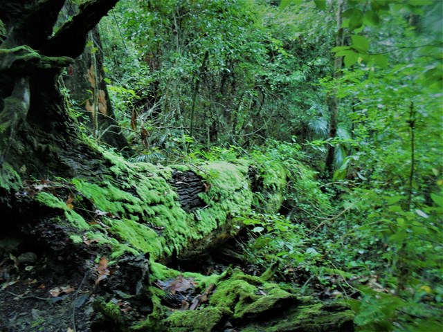
Following South Boundary road, you will wonder through the mossy rainforest for about 2 km – where you will enjoy the beautiful sounds of the Bellbird – and see them! Go right when you reach Augies Road and continue for another 2 km (approx.), Honey Track splits off to the right – it is sign posted. The entrance to this track was a little overgrown, but don’t let this put you off as it clears back to the vehicular track after approximately 500 metres. Most of the next 2.5 km is along a ridge through eucalypt forest – keep your eye out for sunbaking snakes, goannas and lots of local birds. This track stops at the end of the of the ridge, where on a clear day you should enjoy glimpses of the valleys in the distance and Lake Manchester. Take a well-earned rest, enjoy the views and then retrace your steps. I loved this walk!
 7.5
km
return
2.5
hrs
7.5
km
return
2.5
hrs
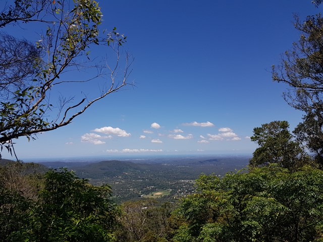
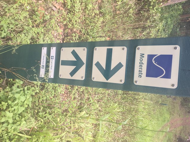
Mt Nebo Lookout Track
This track meanders through a variety of forest types , enjoy the view of Samford Valley and Mount Tempest once reaching the rocky outcrop of Mt Nebo Lookout point. Note: this walk is along a 4WD track, for the dedicated walking track (through the rainforest areas) see: Morelia Track.