
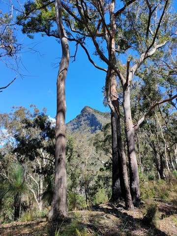
Spicer's peak
Main Range National Park


Menu
GPS Tracks
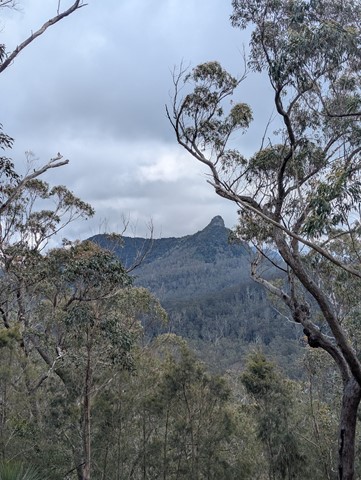
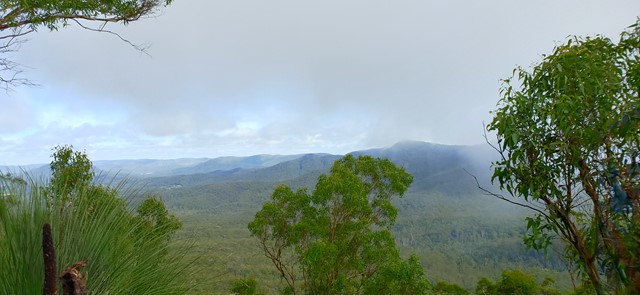
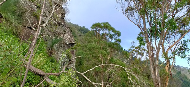


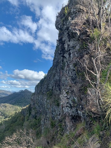


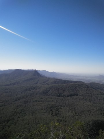

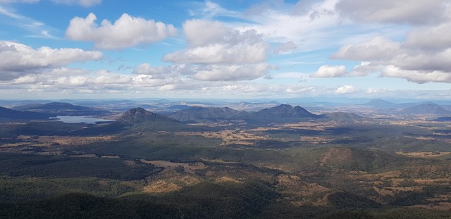


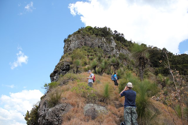
A steep and loose ascent from Governor's Chair. The views are great over the Fassifern Valley.

 Getting there
Find your way to Aratula and keep going towards cunninghams gap for about five kilometres from elizabeth street, where the fruit barn is and turn left at Lake Moogerah road follow this Road for almost six kilometres to Spicer's Gap Road which you turn right into. After about 3km it turns to gravel and a gate is there that can be closed when wet. 4km from here is the Campground and another 2km will put you at the Governor's Chair.
Maps
Sunmap Cunningham's Gap 1:25000
Route/Trail notes
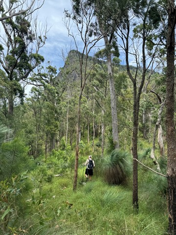
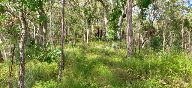
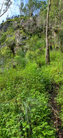
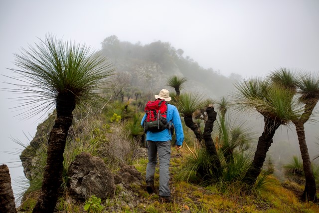
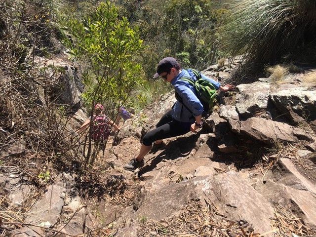
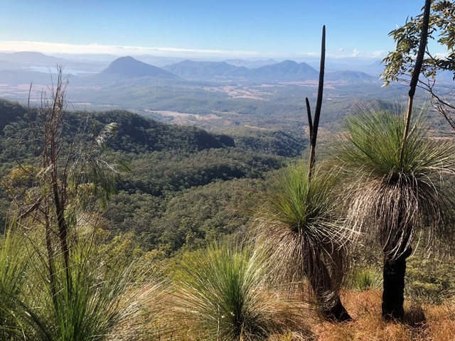
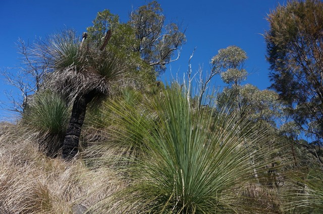
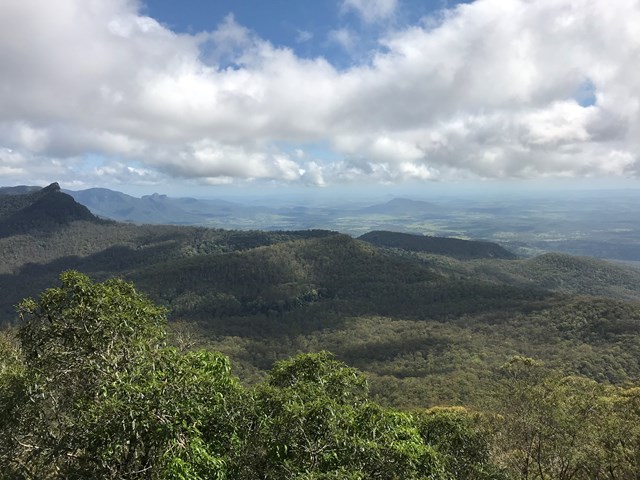
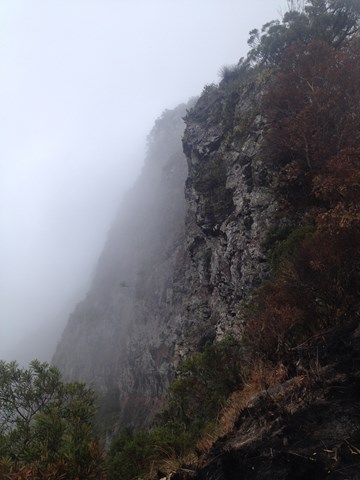
From the Govenor's Chair walk towards the peak and find a well defined foot path heading towards the peak. you should meet a fence, follow this upwards. When the fence ends head twards the cliffs and be rewarded with a great view North and South. Keep following the footpad uphill steep and loose in places and there should be an old fallen fence to follow. Keep going upagoing around any rocky out crops to the right (west) till you reach a cliffline. Turn west (or right) and contour around till abreak is found. about 5 min or so. A steep slab of rock is here climb this till you reach the base of the next cliff line. Turn left and follow the path till the next break is found. Follow the path upwards. it veers to the right through grass and loose steep rock to rainforest. Beware there are stingers here. Follow up through a gully till the trail levels turn Left and walk towards the east or left till you reach an obvious lookout.
to return CAREFULLY retrace your steps.
Permits/Costs
To camp at Spicer's Gap campground is $5 per night and you need to talk to Ranger's for any other camping.
Other References
John and Lyn Daly: Take a Walk in South -East Queensland.
 SpicersPeak (GPX)
 6
6 4
4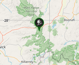
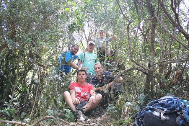
Comments