
Mount Bartle Frere - Eastern Approach
Wooroonooran National Park


Menu
GPS Tracks


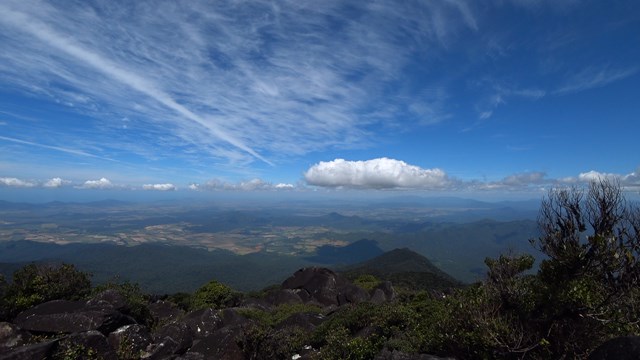
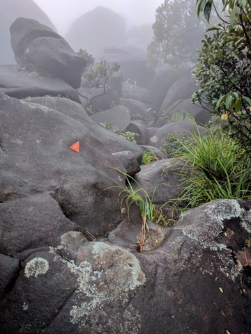


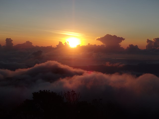


Mount Bartle Frere is Queensland's highest mountain. The eastern approach is a serious undertaking - after the Hannel Spur route up Mount Kosciuszko (1,800m elevation gain), it has the second most elevation gain of any summit in Australia (1,500m). Objective hazards include the boulder field below the summit which, due to the fact that orographic lifting means that the summit spends the majority of time in the cloud, is usually wet and slippery.

Getting there:
Head north up the Bruce Highway from Townsville to cairns and 15 minutes after passing Innisfail you come to Miriwinni, turn off near hear and follow the signs to the Josephine Falls National Park.
Maps
No good ones found - the National Park leaflet (Josephine Falls Section) and the Bartle Frere summit section leaflet. You can download a map from QTopo website (Queensland Government website for topographic maps - http://qtopo.dnrm.qld.gov.au/desktop/ - which does show the trail on it, or you can order a topographic map from www.cartodraft.com.au for approx. $10 (order map for Bartle Frere section) but this does not show the trail on it.
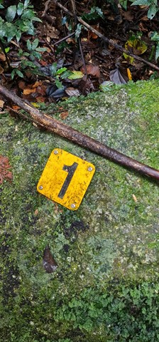
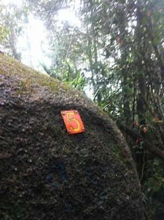
Route/Trail notes
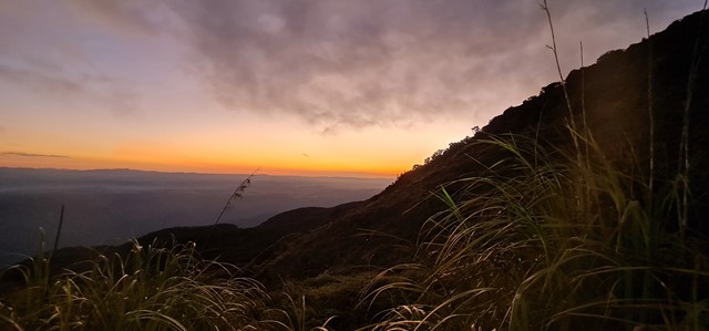
The walk should only be attempted in the "dry" cooler months of August to October. It is the wet tropics so expect to get wet. The summit is usually only visible for 5 - 10% of the year with the rest of the time being shrouded in cloud.
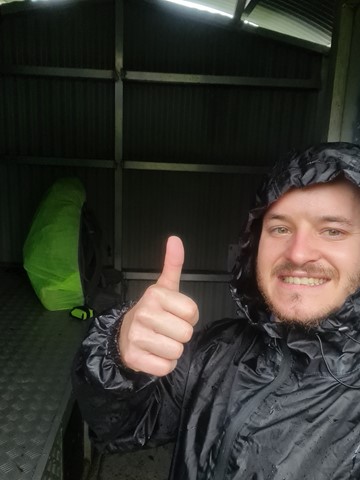
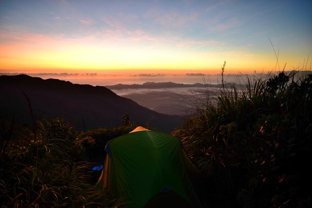
Start the walk as early as you can, you don't want to be returning in the dark. It is possible to camp on the mountain, but you'll have to carry all your gear. the lighter your pack the easier it will be.
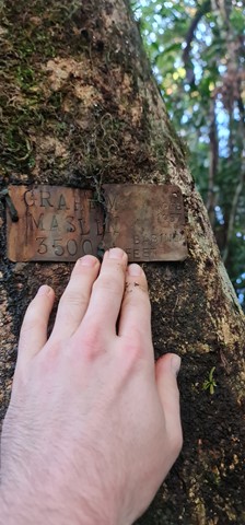
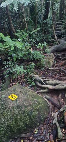
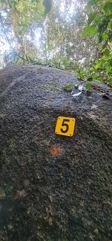
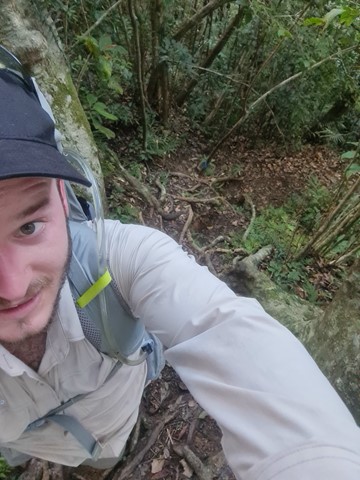
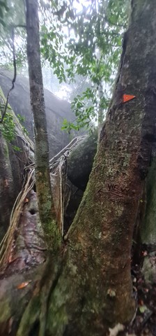
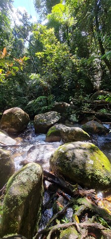
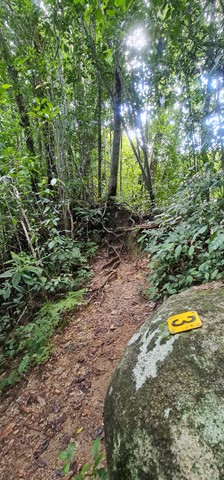
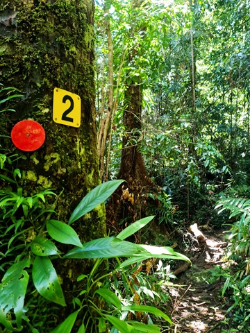
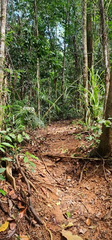
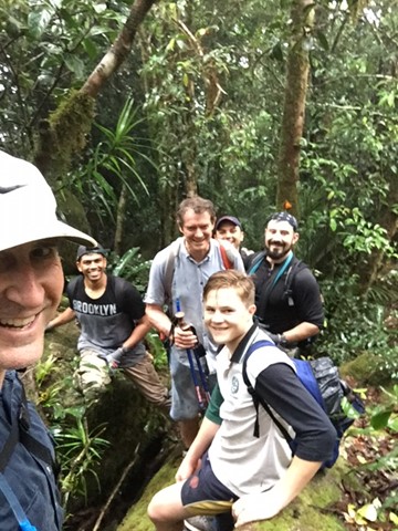
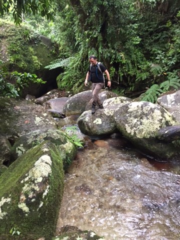
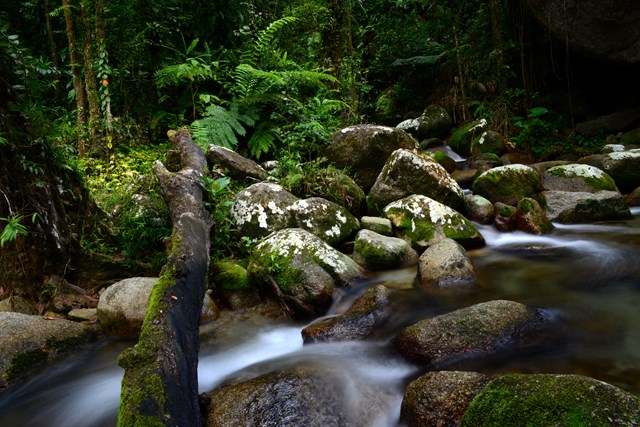
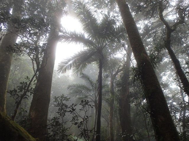
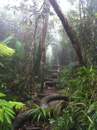
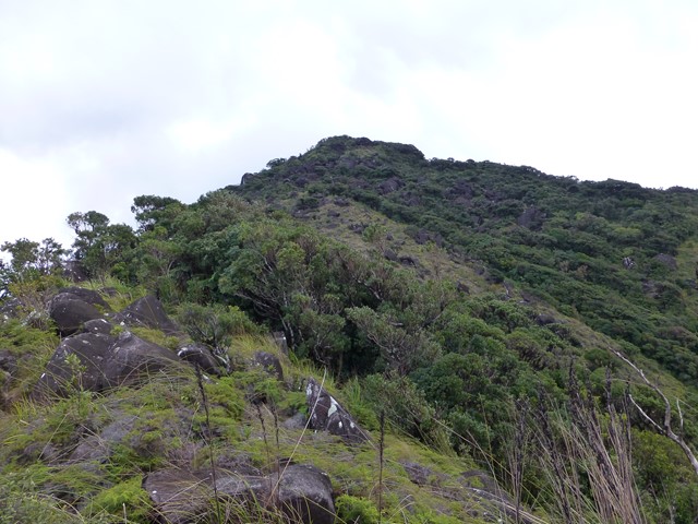
There are two main sections to the track, in the rainforest and above the rain forest in the boulder field. The rainforest section is wet muddy and steep and probably accounts for about 2/3 of the track and you get no views through the thick trees.
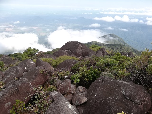
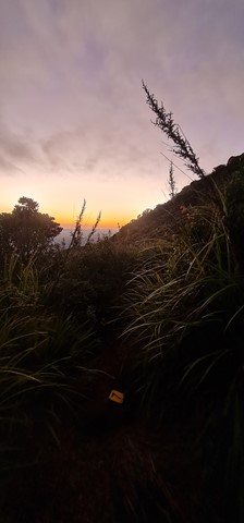
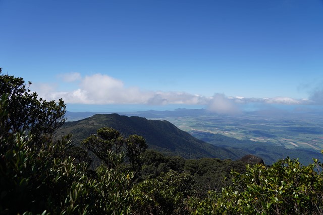
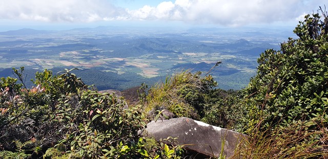
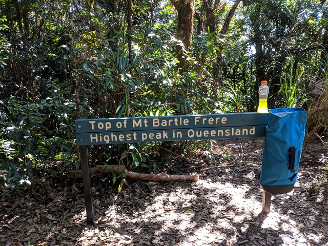
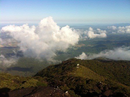
The boulder field is very open and exposed, but provides excellent views over the coast (depending on the cloud cover). There is a marked track through the field and ladders and chains in places to assist. There is also a helicopter pad due to the high number of rescues over the years. At the summit there is a 10 minute climb through some thicker trees obscuring the view where the sign is indicating the summit.
There are several other routes including one to Broken Nose.
Permits/Costs
Free! - but you'll pay for a few days after with sore legs. make sure you let someone know where you are going and register in the book at the start of the track and also when you return.
If you wish to camp, a camping permit is required for a small fee of $5.25 per night. You can order by phone or online at Department of National Parks, Sport and Racing (DNPSR).
Other References
https://hikingtheworld.blog/2022/05/07/hiking-mount-bartle-frere/
NB: Toilets are only available at the start of the walk (Josephine Falls car park).
 Mount Bartle Frere - eastern approach (return) (GPX)
 15
15 12
12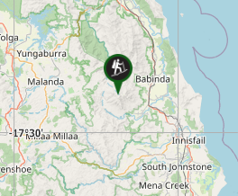
Comments