


 5
5 90
90- Sandstone Circuit (Brisbane City Council Local Walks)
- Toohey Mountain Track & Mayne Ridge Track (Brisbane City Council Local Walks)
- Toohey Forest Park Loop (Brisbane City Council Local Walks)
- Grass Tree Track (Brisbane City Council Local Walks)
- Stephens Mountain Reserve (Brisbane City Council Local Walks)
Toohey Forest Trailhead to Mt Gravatt Lookout
Brisbane City Council Local Walks
Menu
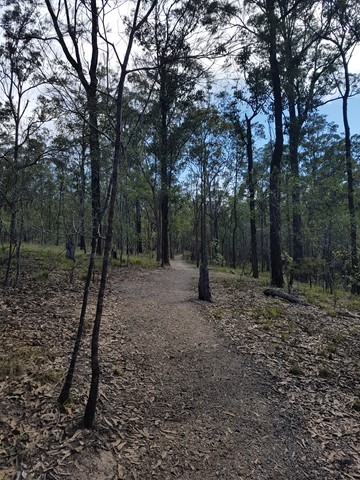
The track is paved then bitumen to wide track. This walk can be completed in almost all conditions. Crosses the Griffith Uni Campus.
Lookouts
Picnic Facilities
Public Transport
Getting there
Brisbane city council buses go past Toohey Forest. Carparking available
Maps
Available for download from Brisbane City Council website
And GPS walk details availble online at google maps
Route/Trail notes
Permits/Costs
No permits required. no camping in park
Other References
GPS Tracks
- No GPS available for this walk yet.
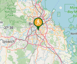
Where
Click here to load this map.
Comments