


 7.9
7.9 3
3
Aussie Bushwalking can keep track of your bushwalks.
Login/signup to tick this walk off.The Great Ridge: Mam Tor to Lose Hill
United Kingdom
Menu


A classic walk in the Peak District National Park the pride of which is the iconic Mam Tor (516m).
Lookouts
Scrambling or Climbing
516m
Maximum Elevation
474m
Total Climb
Getting there
How do you get to the start of the walk?
Mam Nick car park though for non national trust members there is a fee. Free parking can be found further away.
Maps
Which maps cover the area?
Maps of the Great Ridge in the Peak District National Park
Route/Trail notes
A detailed description of the walk!
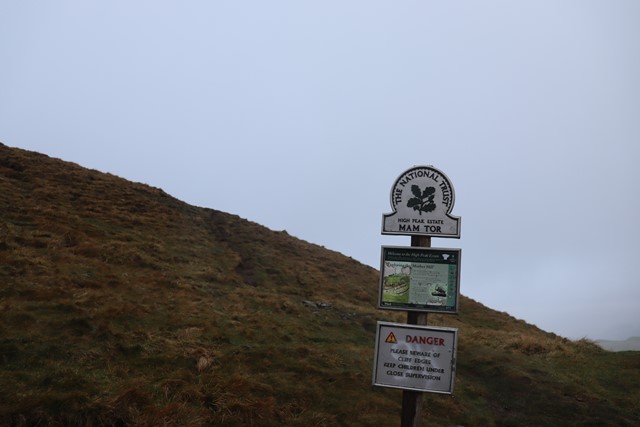
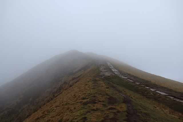
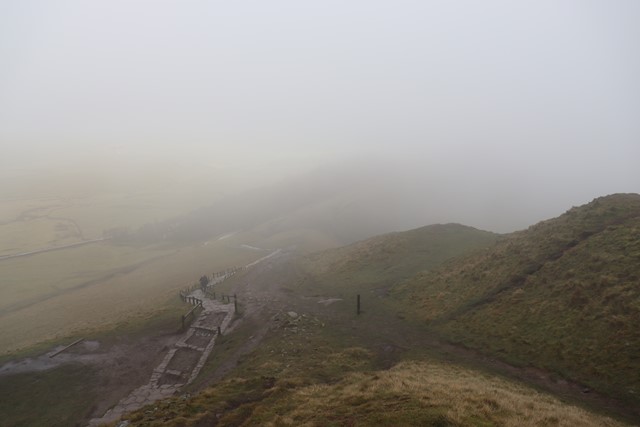
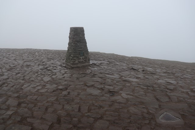
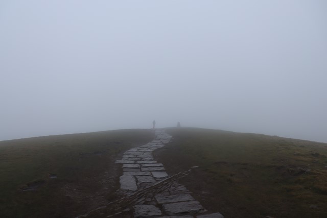
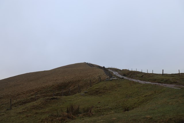
From Mam Nick car park make your way uphill to the summit of Mam Tor from here follow the ridge down to Hollins Cross the lowest point of the ridge before heading up Barker Bank you will then continue to Back Tor which is the one section where there is a very mild scramble though this can also be bypassed via a path that flanks Back Tor on the Southern side. From Back Tor simply follow the ridge to the summit of Lose Hill before returning back the same way you came.
Permits/Costs
Do you need any permits? What's the cost?
Free aside from potential parking costs if you park in Mam Nick car park.
Other References
How can I find more info? Any guide books?
GPS Tracks
- No GPS available for this walk yet.
Comments
Nobody has commented on this walk yet. If you've done it then tick it off and add a comment.