
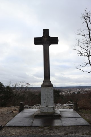
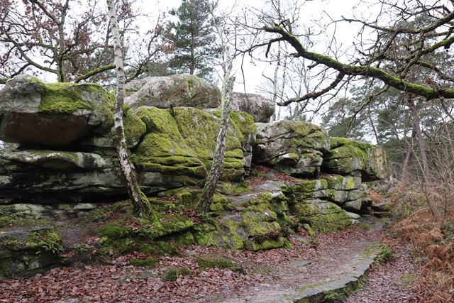
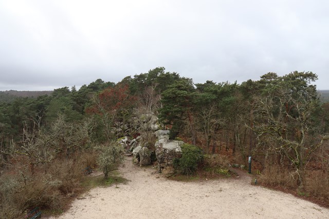
Roche Eponge - Tour Denecourt - Croix du Calvaire
France


Menu
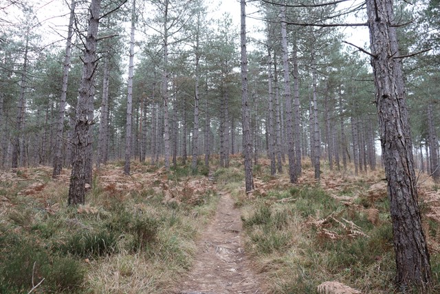

A route through the Fontainebleau Forest to the Roche Eponge then the Tour Denecourt and finally the Croix du Calvaire.
Lookouts
156m
Maximum Elevation

Getting there
How do you get to the start of the walk?
From the Route de la Reine Amélie
Maps
Which maps cover the area?
Maps of Fontainbleau forest
Route/Trail notes
A detailed description of the walk!
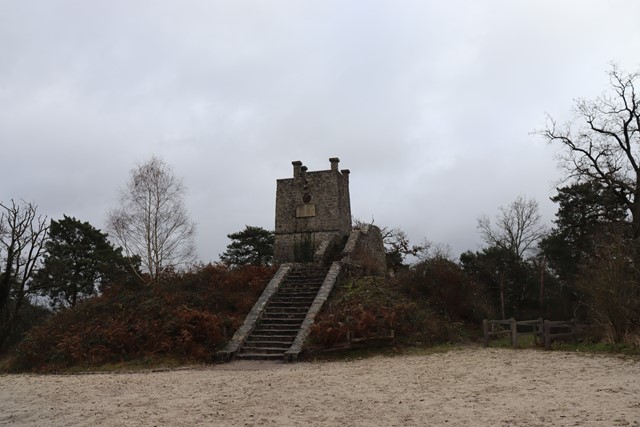
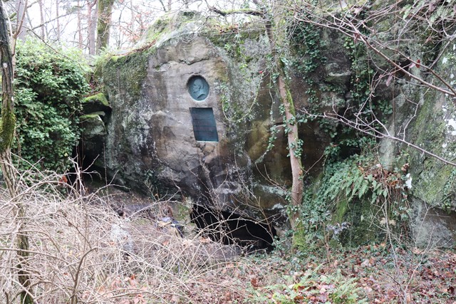
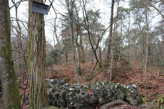
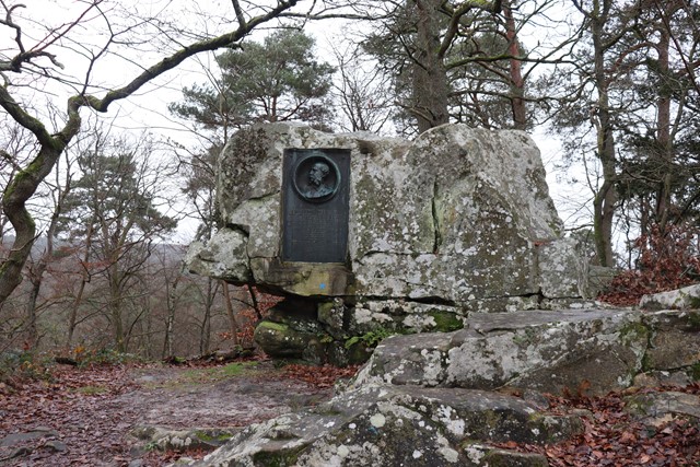
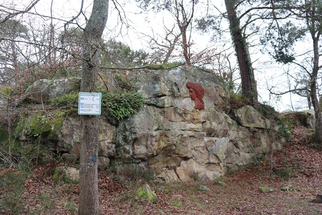
From the information sign on Route de la Reine Amélie head Northward towards Roche Eponge along the cliffline and then continue roughly in the same fashion until the Tour Denecourt and finally head West and then travel roughly South to the Croix du Calvaire before rounding off the loop by heading North and then East to the begining.
Permits/Costs
Do you need any permits? What's the cost?
Free
Other References
How can I find more info? Any guide books?
GPS Tracks
- No GPS available for this walk yet.
 5.8
5.8 3
3
Comments
Nobody has commented on this walk yet. If you've done it then tick it off and add a comment.