


 6.8
6.8 4
4
Aussie Bushwalking can keep track of your bushwalks.
Login/signup to tick this walk off.Mont Saint-Michel
France
Menu
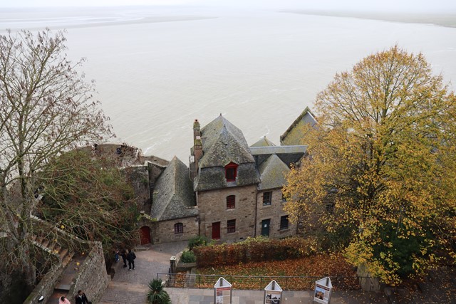
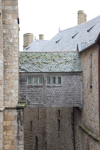
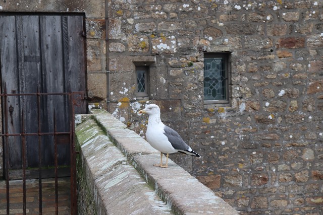


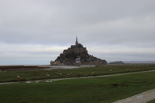
Mont Saint-Michel a UNESCO world heritage site and starting point or end point of many GR trails and caminos. This abbey rests high on a tidal island surrounded by mud flats in Mont Saint-Michel bay.
Lookouts
Heritage Sites
Toilets
Coastal
92m
Maximum Elevation
Getting there
How do you get to the start of the walk?
Mont Saint-Michel paid parking is found on Route de la Caserne.
Maps
Which maps cover the area?
Maps of Mont Saint-Michel.
Route/Trail notes
A detailed description of the walk!
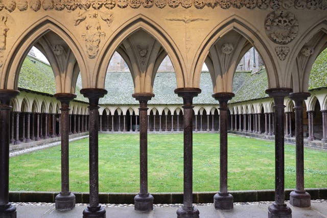
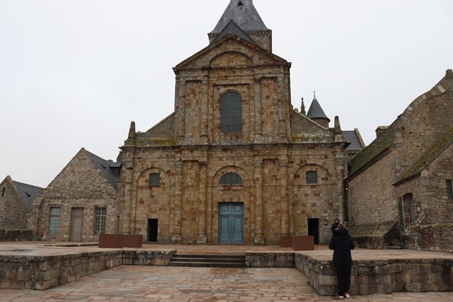
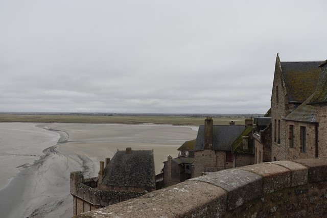
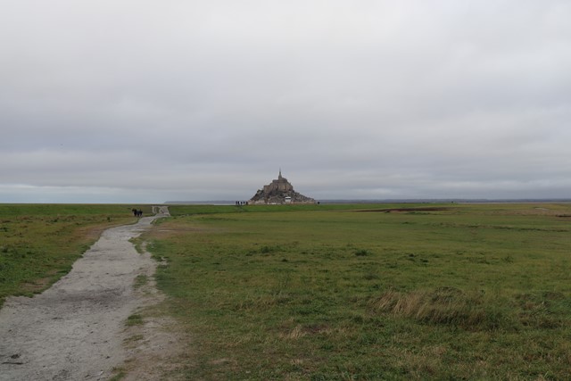
From the parking area you can walk along the causeway to Mont Saint-Michel or you may take the shuttle bus which shortens your journey by 2.8kms on the way out and the way back. It is at least worth walking on the way out as you are able to see Mont Saint-Michel grow closer on the horizon which are some of the best views of Mont Saint-Michel. Once you reach Mont Saint-Michel the length of your journey can again be changed depending on your desire to circle or partially circle the island by walking on the mud flats (the tide times may also dictate if this is possible). Once you have winded up through the village you will have to decide whether to pay to access the top of the mont and the abbey.
Permits/Costs
Do you need any permits? What's the cost?
Have to pay to visit the abbey which resides on the top section of the mont as well as for parking and some of the toilets on the mont.
Other References
How can I find more info? Any guide books?
GPS Tracks
- No GPS available for this walk yet.
Comments
Nobody has commented on this walk yet. If you've done it then tick it off and add a comment.