
Yulludunida Walking Track
Mount Kaputar National Park


Menu
GPS Tracks

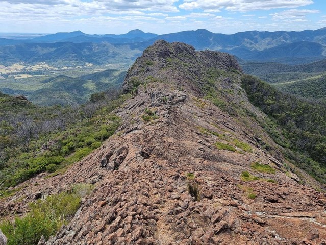

Yulludunida walking track is an exhilarating 4km, 4 hour return hike. This hard walk from Green Camp car park takes you up the side of the steep bluff, a heart-pumping 340-metre rise in altitude. Adventurous and experienced bushwalkers will be rewarded with uninterrupted 360° views across Mount Kaputar National Park and North West NSW.
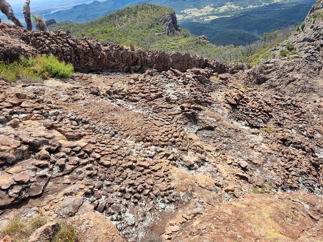
Yulludunida walking track includes a breathtaking bird’s eye view of the mountain’s crater, one of the most impressive examples of a ring dyke (Mountain Spa) in Australia. You'll notice the woodland trees become sparser as the contorted shapes of the crater appear.

Getting there:
From Narrabri, take Old Gunnedah Road south and after about 2.5km, turn left onto Kaputar Road. Follow Kaputar Road for 27km to the entrance of Mount Kaputar National Park where Green Camp car park is on the right and the start of the walk.
Beyond this point the road is a steep, single lane road and caravans are not permitted.
Maps:
Route/Trail notes:
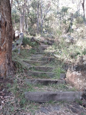
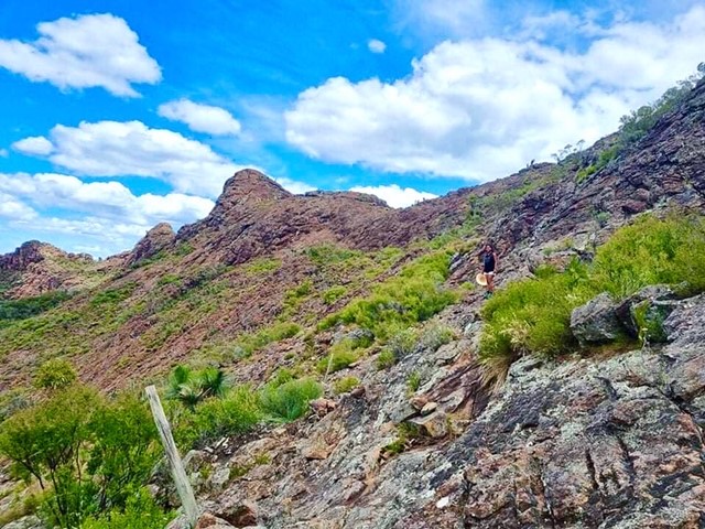
It’s a steep climb up the stairs through woodland on a marked track to the bottom of the ridge crossing an old dingo-proof fence. The landscape opens up to a spectacular rocky panorama that looks like it is straight out of central Australia.
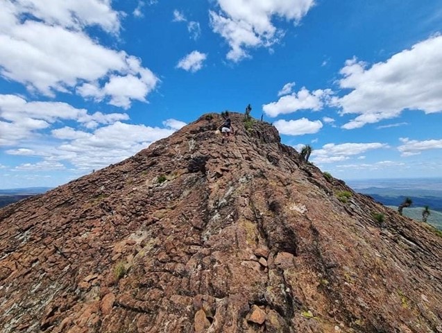
Beyond this point there is no track, but the objective is to take a diagonal route to the top of the ridge, which is hard going. Once on the top of the ridge, the walk along the top past the Mountain Spa is less arduous
Keep watching while bushwalking for scurrying lizards, patrolling birds of prey and hardy heath wildflowers growing out of bare rock.
Permits/Costs:
None.
Other References/Comments:
With so many bushwalking options here and a length drive in, why not take advantage of the excellent camping facilities at Bark Hut or Dawsons Spring.
 419 Yulludunida Walking Track (GPX)
 4
4 4
4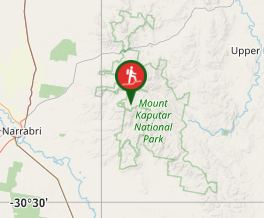
Comments