


 4.5
4.5 2.5
2.5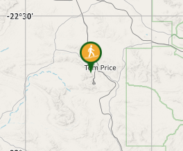
Aussie Bushwalking can keep track of your bushwalks.
Login/signup to tick this walk off.Mt Nameless (aka Jarndunmunha)
Karijini National Park
Menu
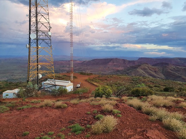
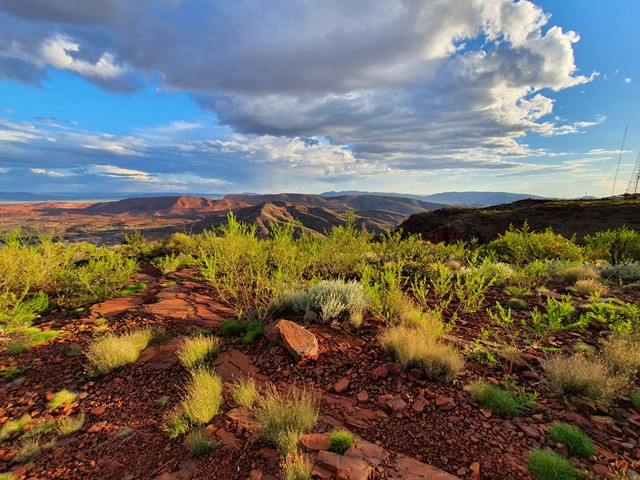
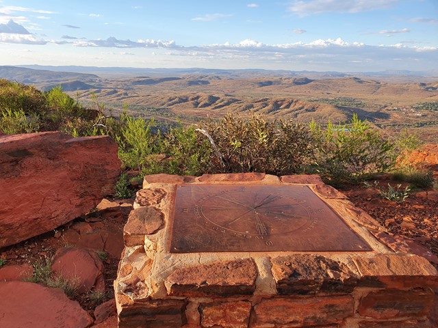
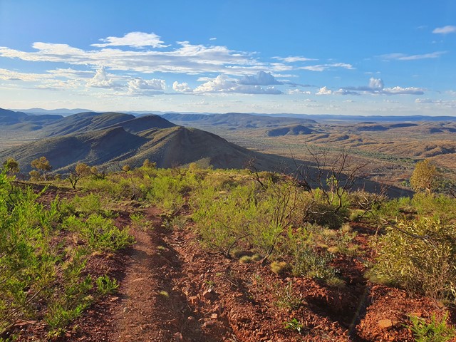


A nice steep walk to the summit of Mt Nameless (known to the local Aboriginals as Jarndunmunha). The summit is a great place to check out the sunset and view the surrounding mines. Mountain is located right next to the town of Tom Price.
Lookouts
Scrambling or Climbing
Arid or Desert
1128m
Maximum Elevation
Getting there
Coming from Tom Price set course for Nameless Valley Drive. When driving down this road you will see a street on your left directing you to Mt Nameless 4wd track (you can technically drive to the top if you have a decent 4wd). Don't turn down this road if you are walking up, the next street on your left will direct you to the Mt Nameless walking track. Follow the signs until the end of the road where you will find a small carpark.
Route/Trail notes
The walk intitially begins on a 4wd track that gets progressively steeper. Very soon you will reach a staircase that leads to a small scrambing section that brings you up onto the ridge. From there keep the cliff on your left and walk up the rough trail until you intercept the 4wd trail near the top. From here you can walk up to the lookout overlooking the town, or up to the Telephone tower where you will get the best sunset views.
Permits/Costs
No fees
Other References
https://trailswa.com.au/trails/mt_nameless_tom_price
GPS Tracks
- No GPS available for this walk yet.
Comments