
Bluff Knoll Summit
Stirling Range National Park


Menu
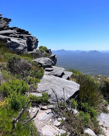
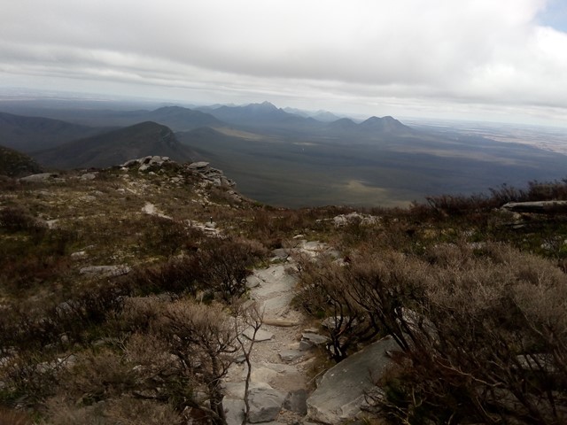
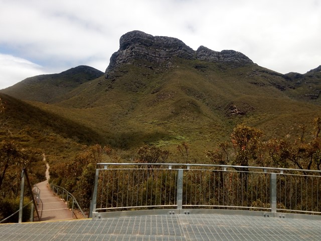
The third highest peak in Western Australia and the highest in the Stirling Ranges located 4.5hrs South East of Perth. The range is very prominent rising high above the predominately flat terrain. The walk itself is very well marked and attracts a lot of tourists of varying ages and fitness levels. Most people of reasonable fitness can climb it in under 2hrs with lots of time to rest and enjoy the view. At the top you are greeted with a panoramic view of the National Park, Stirling Ranges and beyond.
Lookouts
Picnic Facilities
Toilets
Arid or Desert
1099m
Maximum Elevation

Getting there
Located on Bluff Knoll Road (off Chester Pass Rd), 4.5hrs from Perth, 1.2hrs from Albany
Permits/Costs
$13 entry fee for 1 car with up to 10 people for 1 day.
Other References
https://trailswa.com.au/trails/bluff-knoll/print
GPS Tracks
- No GPS available for this walk yet.
 6
6 3
3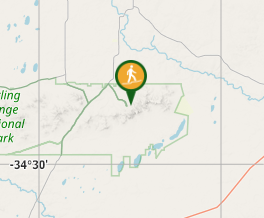
Comments