


 53.2
53.2 6
6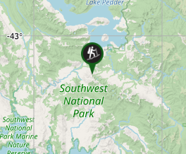
Aussie Bushwalking can keep track of your bushwalks.
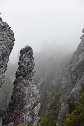
Login/signup to tick this walk off.Western Arthur Ranges
Southwest National Park
Menu
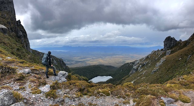

Incredible Walk - Partial Traverse Length (exit via Kappa Moraine aka Moraine K)
Waterfalls
Lookouts
Swimming
Navigation Required
1163m
Maximum Elevation
Getting there
The start of the Western Arthurs Traverse is at Huon Campground at southern end of Lake Pedder at Scotts Peak Dam – the same place where the Port Davey Track begins.
Maps
TASMAP Western Arthurs 1:50000 Topographic Map
Route/Trail notes
A detailed description of the walk!
Permits/Costs
Tasmanian National Park Pass
Other References
How can I find more info? Any guide books?
GPS Tracks
- No GPS available for this walk yet.
Comments
Nobody has commented on this walk yet. If you've done it then tick it off and add a comment.