


 Dan Stiller Reserve (GPX)
 11
11 3
3- Sea Eagle Lake Trail (Warril Parkland) (Brisbane City Council Local Walks)
- Possum Forest Trail (Warril Parkland) (Brisbane City Council Local Walks)
- Casuarina, Lomatia, Curtisli, Mahogany, Casuarina Trails (Karawatha Forest)
- Rocks, Dianella, Lomatia, Bracken, Entolasia, Rocks Trails (Karawatha Forest)
- Poets Rock (Karawatha Forest)
Sergeant Dan Stiller Memorial Reserve
South East Queensland
Menu
GPS Tracks

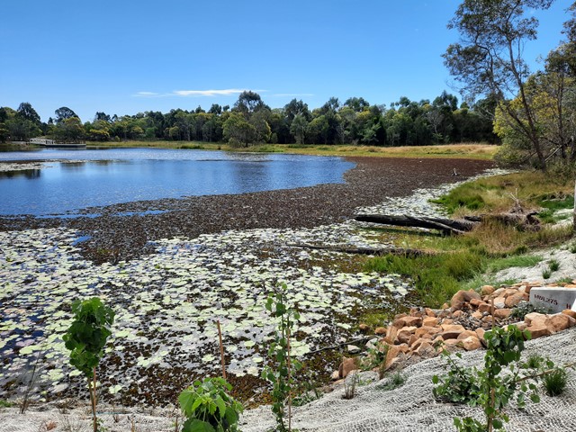
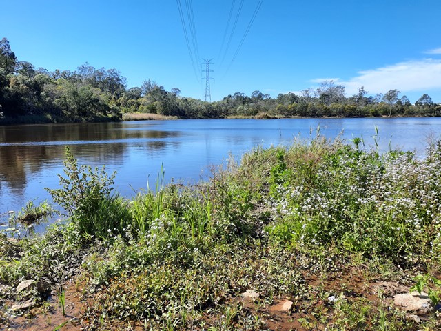
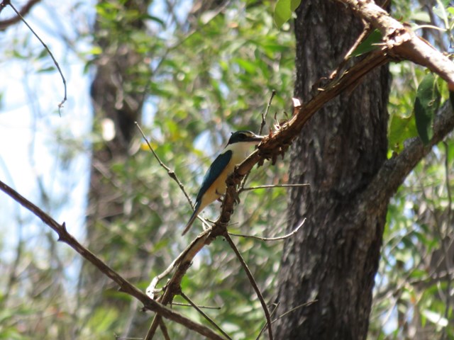
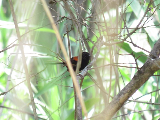
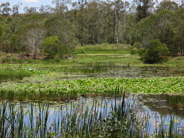
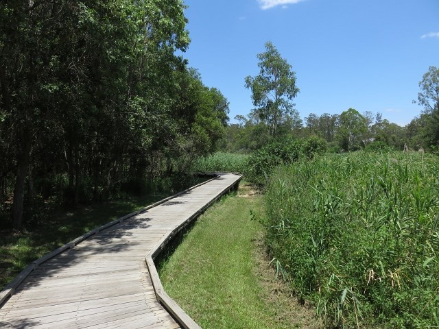
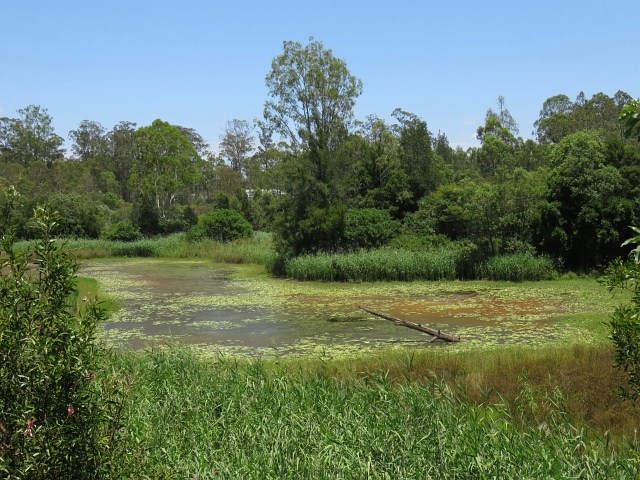

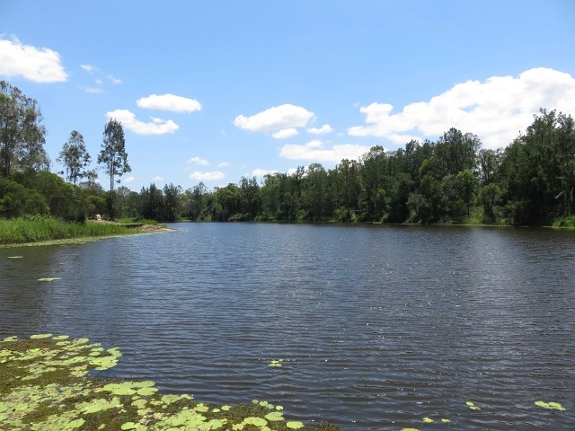

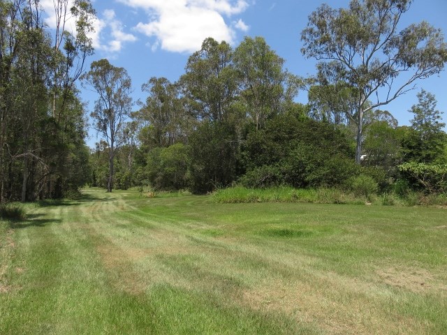

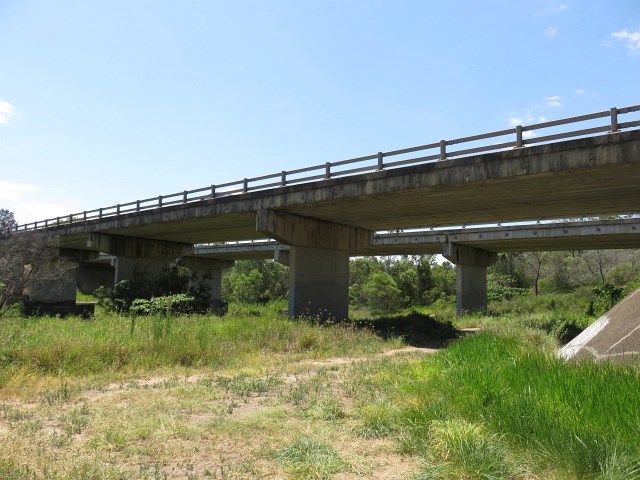
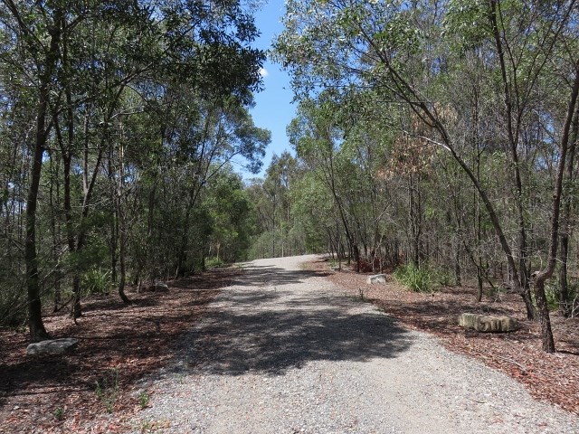
This reserve runs along Oxley Creek. The series of freshwater lakes in Dan Stiller Reserve are the result of sand mining which has now ceased. This memorial park is named after Sergeant Dan Stiller who was killed by a car accident on duty. The southern section of the reserve is well known for its diverse range of bird species in the area. Note after heavy rain some sections may be closed due to flooding.
Bird Watching
Dogs Permitted
Swamp or Wetland
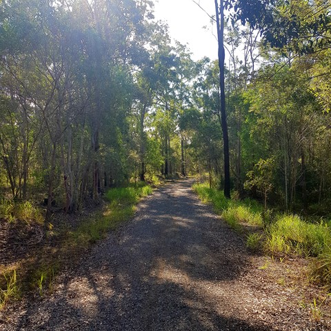
Eucalypt Forest
52m
Maximum Elevation
143m
Total Climb
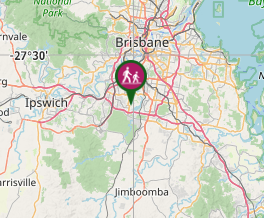
Getting there
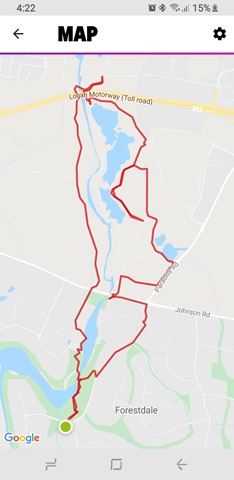
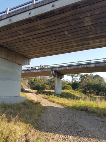
Start at either: end of Wadeville St, Heathwood QLD 4110 or Corner of Forestdale Dr and Paradise Rd, Forestdale QLD 4118.
Maps
Which maps cover the area?
Route/Trail notes
The walk is not clearly signed. See GPS track for guidance.
Permits/Costs
NIL
Other References
Family Bushwalks in South East Queensland (ISBN 9780646946092) p158 & 159
GPS Tracks
Where
Click here to load this map.
Comments