


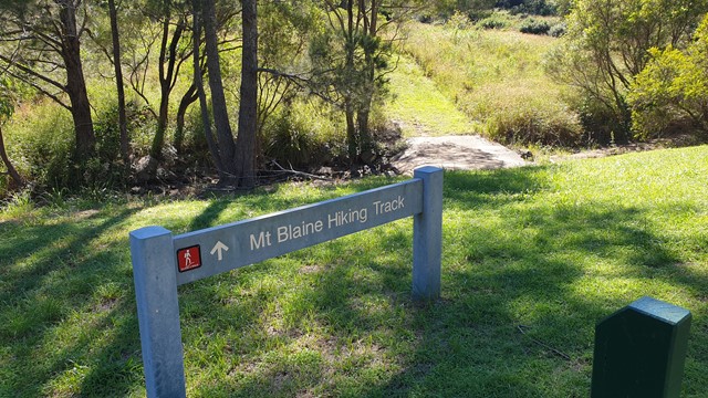
 Mt Blaine (GPX)
 2
2 90
90- Mt Blaine Summit Trail (Ipswich - Flinders Goolman Conservation Estate)
- Sandy Creek Track (Ipswich - Flinders Goolman Conservation Estate)
- Sandy Creek Central Ridge Track (Ipswich - Flinders Goolman Conservation Estate)
- Mount Goolman (Ipswich - Flinders Goolman Conservation Estate)
- Flinders Peak (Ipswich - Flinders Goolman Conservation Estate)
Mt Blaine Base Trail
Ipswich - Flinders Goolman Conservation Estate
Menu
GPS Tracks

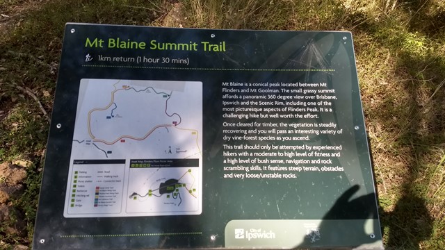

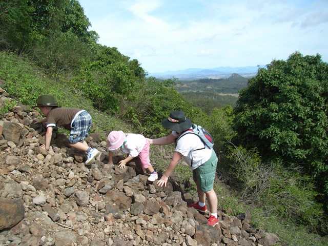
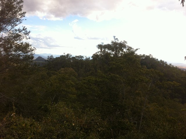
Needing a moderate level of fitness you will pass through Spotted Gum and Ironbark forests, Brushbox and heathland. Keep an eye out for koalas, wallabies and the magnificent Red-tailed Black Cockatoos that call this area home.
Entry is from Flinders Plum Picnic Area
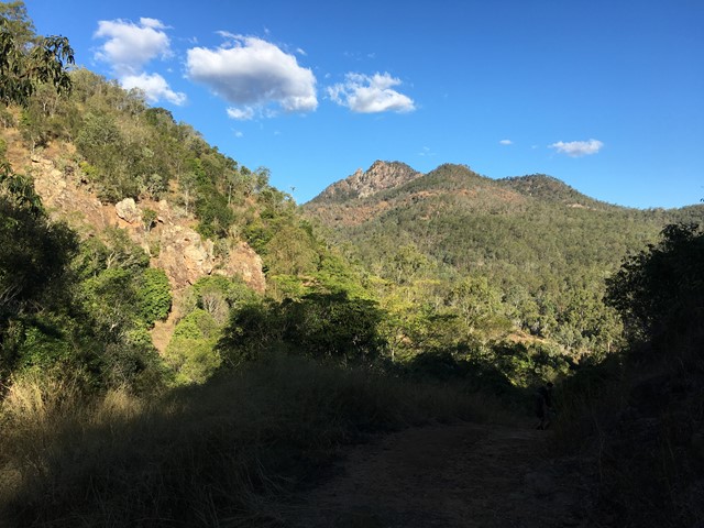
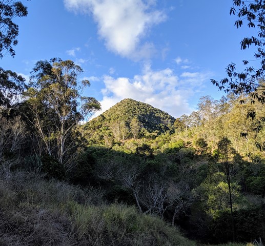
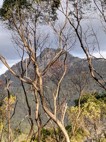
Take a short hike to the foot of Mt Blaine.
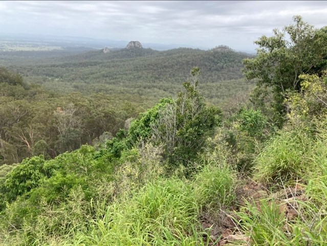
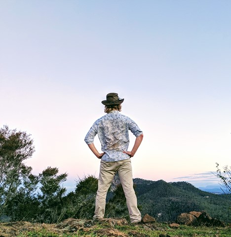
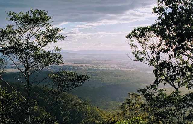
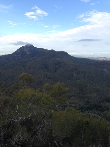
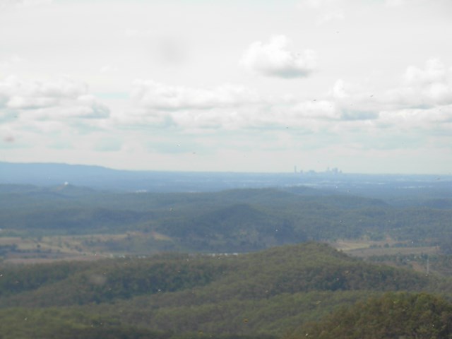
Lookouts
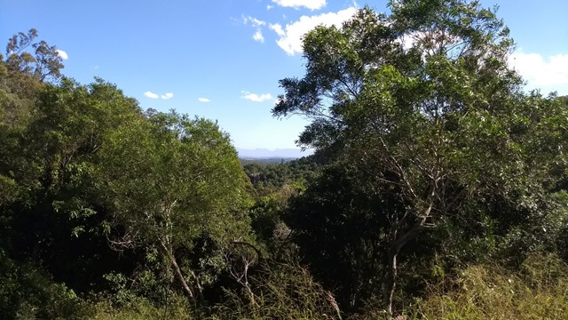
Eucalypt Forest
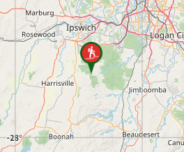
Getting there
Follow the unsealed Mt Flinders Rd, PEAK CROSSING until the end. There are a few water crossings so you may not be able to make it through if it has rained heavily in the last couple of days
Directions
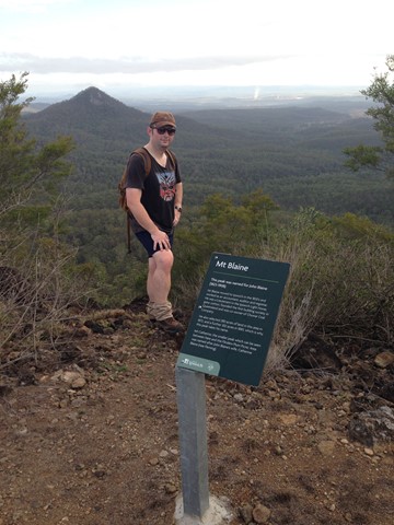
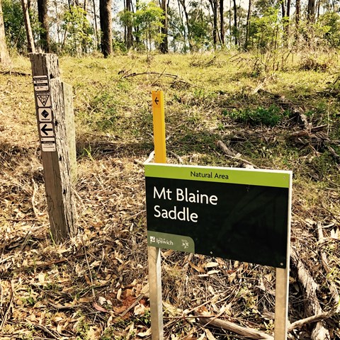
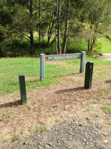
Walk North of the toilet block and you'll see a sign for Mount Blaine which crosses as small creek. Follow the fire trail up for about 1km until you get to a sign for the Mount Blaine Summit Trail. The path to the summit is right next to this sign, don't keep walking along the fire trail at this point.
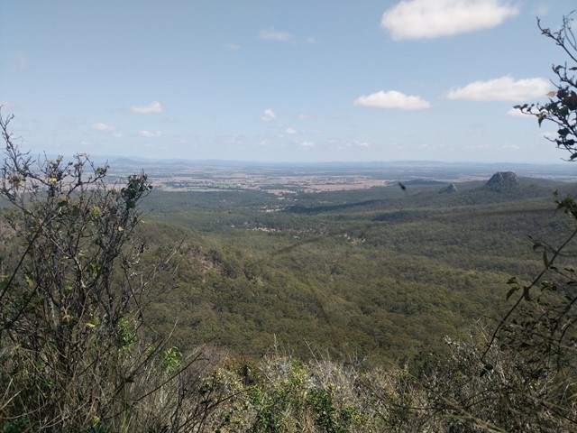
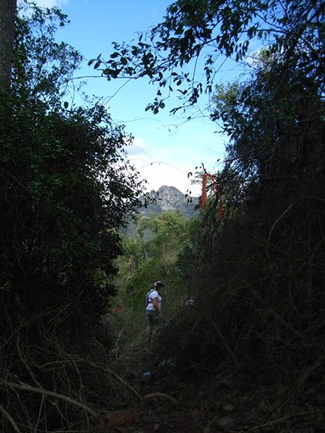
Follow this path to the summit being careful not to slip on the scree or loose dirt. You can return via this path, or you can also descend on the Eastern side of the mountain. The path down is a bit harder to find, but there are some large prickly pear cacti on the Eastern side and make you way down and around these and you'll find something that resembles a track. Eventually this joins another fire trail that leads back to the carpark.
Other References
http://www.ipswich.qld.gov.au/about_ipswich/parks_reserves_precincts/parks_search/index.php?id=89
http://www.ipswich.qld.gov.au/documents/health/flinders-goolman_trails_guide.pdf
GPS Tracks
Where
Click here to load this map.
Comments