
Mt Marlow
Pallarenda Conservation Park


Menu

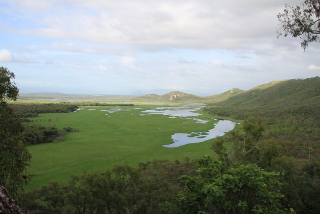

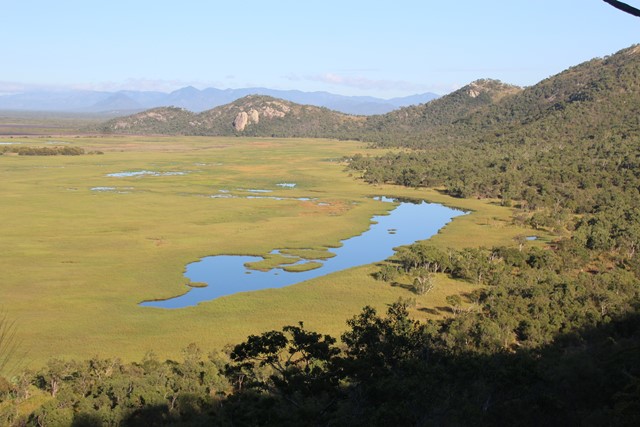
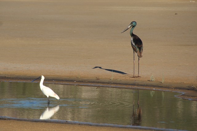
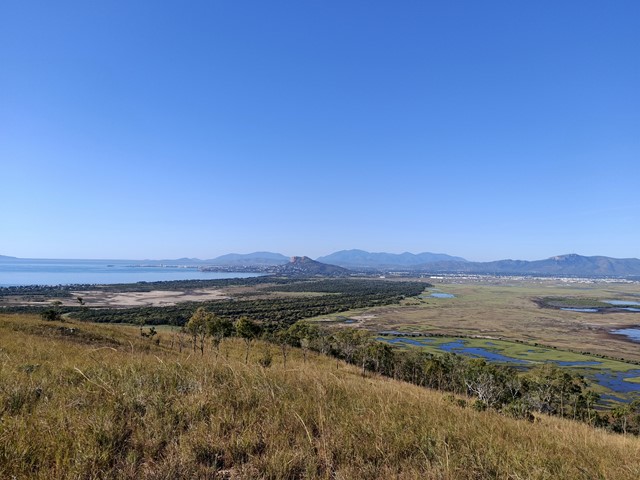
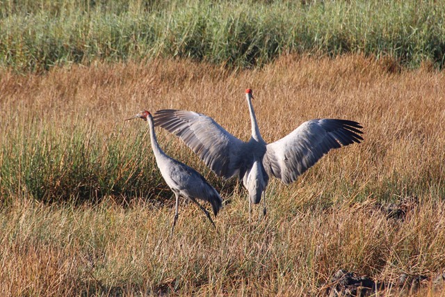

Excellent walk for the views, traverses open forests and semi-deciduous vine thickets along the side of the peaks. The summit of Mt Marlow provides superb 360 degree views of the wetlands and coastline. You can complete a circuit by returning via the Lagoon Trail or the Freshwater Trail through the wetlands. These trails provide excellent opportunities for viewing wetland birds.
Only the middle sections of the Many Peaks Track are considered hard. The other sections are medium, and the Lagoon and Freshwater Trails are easy shared bicycle/walking trails. Mosquitoes can be a problem at certain times of the year, so bring some repellent. Winter is the best season. Refer to the track notes below.

Getting there:
To the left hand side of Walter Nesbit park there is gate, there are signs just in front of this with details of the tracks
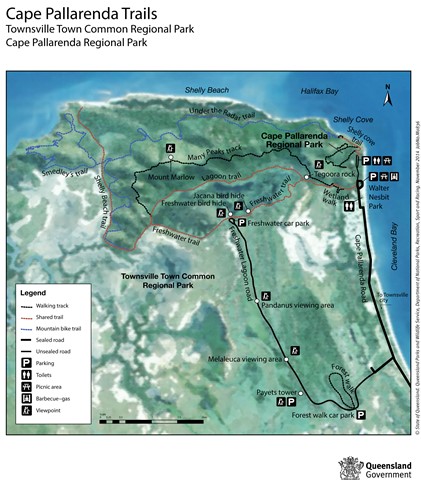
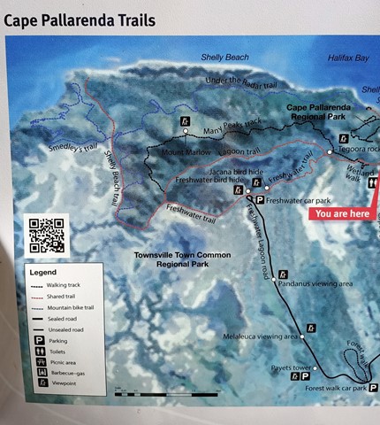
Maps
Maps are avalable at Queensland National Parks and Wanderstories websites.
Route/Trail notes
A detailed description of the walk!
Many Peaks Track circuit returning via the Lagoon or Freshwater Trail.
Commencing at the Pallarenda gate, the first section is a shared bicycle/walking track. After 5 minutes the Many Peaks Track branches off to the right and commences climbing, reaching Tegoora Rock in 15 minutes. Tegoora Rock provides your first views of the wetlands. (The walk to Tegoora Rock and return the same way is an easy half hour walk that is suitable for most). The Many Peaks Track continues past Tegoora Rock lookout point (towards the hill). In about 5 minutes the 'constructed' track morphs into a 'marked route'. Parts of this section are rough and rocky underfoot, and can become overgrown and difficult to follow in the wet season. This section of the walk traverses through some excellent examples of semi-deciduous vine forest, a type of dry rainforest. In about an hour you will reach another (un-named) rocky lookout point providing extensive views over the wetlands. From here you should reach the summit of Mt Marlow in less than half an hour. The summit of Mt Marlow is open and grassy and provides superb 360 degree views of the wetlands, Townsville, Magnetic Island, and the coastline. From Mt Marlow the track descends to Bald Rock. This section is well constructed and in good condition. (Numbers on posts refer to an interpretive geology trail). At the Bald Rock trail junction you can choose to return to Pallarenda via either the Lagoon Trail or the Freshwater Trail. Both are shared bicycle/walking trails, and are a similar distance. The Freshwater Trail takes you through the middle of the wetlands, along the top of an earthen dam wall, and provides outstanding opportunities for viewing wetland birds. The entire circuit will take about 3.5 hours, allowing for breaks and viewing birds and scenery. Winter months is the best time to undertake this walk.
Permits/Costs:
None.
Other References/Comments:
More information can be found on the Queensland National Parks and Wanderstories websites.
GPS Tracks
- No GPS available for this walk yet.
 10.3
10.3 3.5
3.5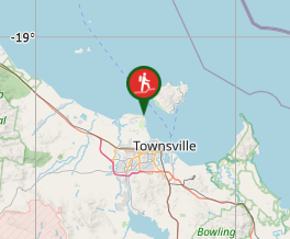
Comments