
Mt Nebo - Honey Track
D'Aguilar National Park


Menu

This is a beautiful walk along mostly well maintained forestry roads. We parked at Bullocky's Dam - there is no sign and the road is tucked away, but it is between Boombana and is about 500 m from Jolly's Lookout.
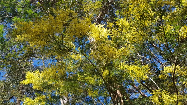
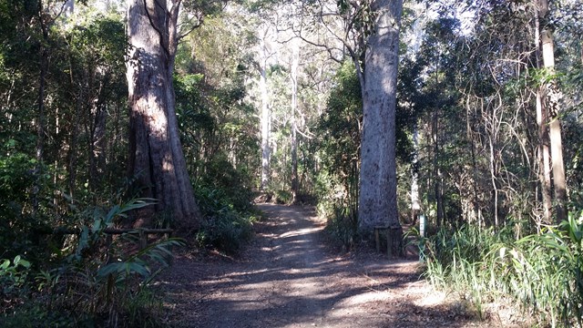
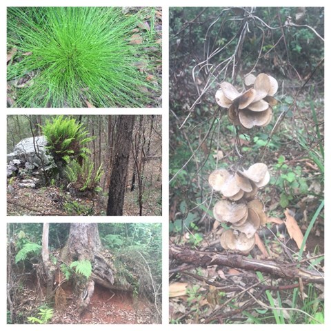
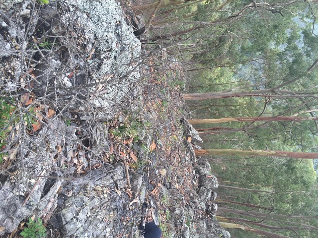
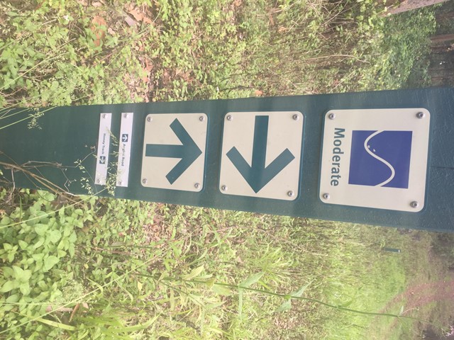
Following South Boundary road, you will wonder through the mossy rainforest for about 2 km – where you will enjoy the beautiful sounds of the Bellbird – and see them! Go right when you reach Augies Road and continue for another 2 km (approx.), Honey Track splits off to the right – it is sign posted. The entrance to this track was a little overgrown, but don’t let this put you off as it clears back to the vehicular track after approximately 500 metres. Most of the next 2.5 km is along a ridge through eucalypt forest – keep your eye out for sunbaking snakes, goannas and lots of local birds. This track stops at the end of the of the ridge, where on a clear day you should enjoy glimpses of the valleys in the distance and Lake Manchester. Take a well-earned rest, enjoy the views and then retrace your steps. I loved this walk!

Getting there
You have to drive - park at Bullocky's Dam, about 500 m west from Jolly's Lookout.
Maps
WhDÁguilar National Park - South DÁguilar section
Route/Trail notes
See above
Permits/Costs
None
Other References
How can I find more info? Any guide books?
GPS Tracks
- No GPS available for this walk yet.
 13
13 3
3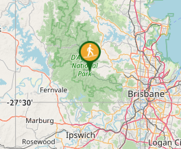
Comments