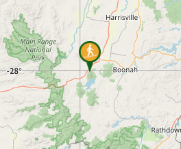
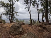
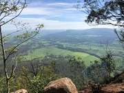
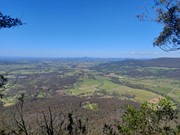
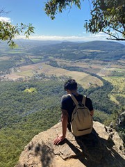
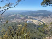
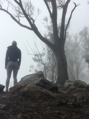
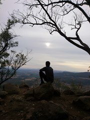
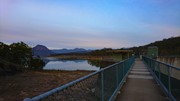
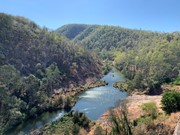
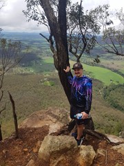
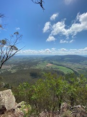
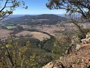
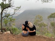
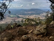
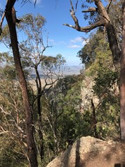
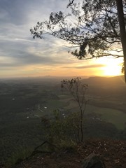
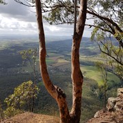
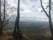
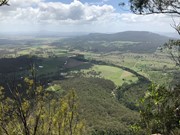
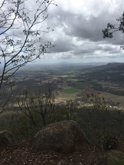
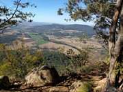
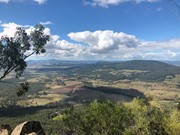
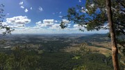
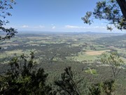
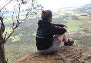
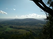
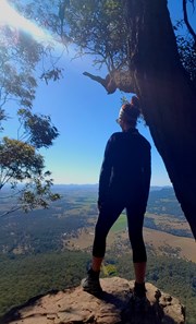
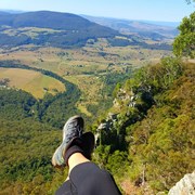
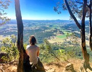
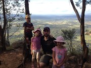
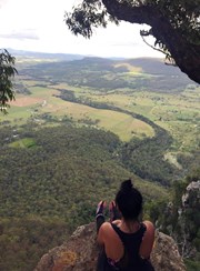
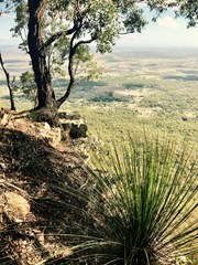
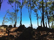
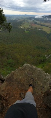
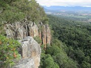
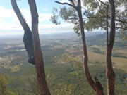
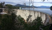
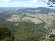
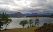
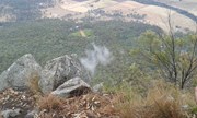
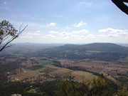
This hiking track takes you to the summit of Mt Edwards, the taller, conical-shaped peak beside Moogerah Dam. This trail crosses the dam wall then leads to the top the mountain with an elevation gain of almost 500m to really get your heart pumping. There is a lookout part-way up the track with views of Little Mt Edwards/Reynolds Creek below the dam wall, while the lookout at the summit faces north-east towards Brisbane and the Fassifern Valley.

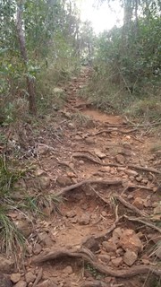
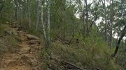
Officially listed as Grade 5/Very Hard difficulty (unsigned trail, loose/rocky surface, some tree falls/overgrown sections + steep incline), this trail is suitable for walkers with a moderate-high fitness level who are confident and well prepared (wear appropriate shoes, take plenty of water etc.).

Lookouts
Swimming
Picnic Facilities
BBQ
Toilets
Scrambling or Climbing
No Dogs Permitted
Eucalypt Forest
631m
Maximum Elevation
521m
Total Climb

Getting there

Follow the Cunningham Highway towards Aratula. Follow the signs to Moogerah Dam by turning onto Charlwood Rd, then right onto Lake Moogerah Rd. Continue for 2.7km then turn right onto Moogerah Connection Rd toward Fred Haigh Park. Park near the dam wall. Note: The roads to Moogerah Dam are sealed and suitable for 2WD, but they are also winding, busy at peak holiday times and often have water damage/livestock crossing on the road - take care.

Maps


Route/Trail notes

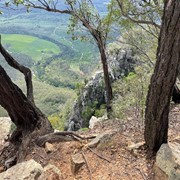
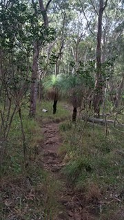
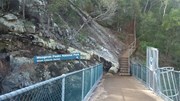
Walk across the dam wall and up a flight of steps to find the beginning of the track. The track is unsigned but well-used so it is clear to follow without a map. The hike to the summit can be divided into three parts. The first part is gradual rise to a rocky slab with good views of Little Mt Edwards and the gorge between them containing Reynolds Creek - be careful near cliff edges. The second section is steep, with larger boulders forming natural steps and lots of loose rocks so care is needed. The final stretch to the summit is a gradual rise again for about 600m, where the path may be overgrown with lantana. Once at the top you can explore left and right for different lookouts offering many vantage points (towards Brisbane - no view of the dam).

Permits/Costs

No costs required

Other References

http://www.nprsr.qld.gov.au/parks/moogerah-peaks/about.html#Mount_Edwards_summit

p244 Take a Walk in South East QLD ISBN 9780957793170

GPS Tracks

Comments

Once you get to the halfway viewpoint, its all uphill (45 degree and up) from there so beware.

Zappy on 11 Mar, 2024

Loved the walk, it does get quite steep in some spots and most of the track is over rocks in all shapes and sizes. There are a lot of lantanas on the whole track. The view from the lookout and the summit is well worth it though. Walking sticks are recommended for all ages, even my 8yo and 10yo loved using theirs

Johanna Zolg on 18 Feb, 2024

Nice walk with the kids.

samkramer on 30 Jul, 2023

Today was super hot and the walk is steep and exposed. I started at 10 which was too late for the heat and the walk was quite punishing with the high humidity. Made it to the top though and a much quicker trip down. I wouldn’t recommend in the height of summer.

Bobbe on 26 Jan, 2023

Did this walk solo today.

Novice mistake is to start too late, started at 11:20 AM, most of the track is not shaded, so it is quite hot. About 1.5 hours up and 45 minutes down. Took about 5 to 6 breaks on the way up as the steep climb really gets the heart pumping.

Not much in terms of views throughout the walk, except in the rocky section about half way up. The summit views are nice, does not offer views of the lake or water though.

supamanwalks on 19 Jan, 2023

I'm here to weigh in for the unhealthy & overweight people lol...
It is possible, but difficult. I'd say roughly 3/4 of the track is stepping up large rocks, because I'm short and fat it felt like climbing to me lol...
It took me about 2 hours up and 2 hours down. I thought going down would be quicker, but as I was wearing shoes that had no grip I kept standing on loose rocks and losing my balance.

As an overweight person it was quite a challenge, but a huge sense of achievement when I got to the top.

Em on Jan, 2023

Completed this walk today with my kids (age 6&7). Very achievable, but the middle 1/3 was difficult for little legs. I personally didn't find this was overly taxing for the leg muscles, but the elevation gain had me stopping for regular breathing breaks. The top 1/3 was a gentler incline but some sections of the trail were crowded with lantana. The view from the top is good but it was a bit disappointing that there were no views of the dam. (Other walkers bush bashed around the summit rim to get a glimpse of the water but advised us not to do this with kids). Glad we ticked it off the list but probably wouldn't revisit this walk. Saw 1 goanna and a couple of skinks.

Steph T on 28 Dec, 2022

Nice straightforward walk, nothing tricky, just keep plodding uphill. Mostly under partial cover, lots of low (4-6m) trees pretty well all the way, but a good idea to bring a hat.
Leaving Moogerah Dam carpark at 8.25, got to the top at 9.45 (1h20m), including a couple of rest stops, Walk is relatively gentle at first and towards the top, the middle third is slightly steeper. Saw a couple of goannas near the top. Excellent view to the NE. Back down to the car in about 45mins.

John F on 26 Oct, 2022

Did Mt Edwards today and well worth the hard slog up the mountain to be rewarded with a spectacular view. It took us 2hrs 15mins total and distance was 5.9kms. Moderate fitness needed as it gets your heart pumping. I would t do this one in summer and an early start is recommended as there are many exposed areas and limited shade. If you love great views of the scenic rim and views all the way to Brisbane then this hike is for you.

Paul on 15 Oct, 2022

Over 50s reasonably fit. 3 hours up and back, easy to follow track. Poles help on the downhill. Great views. Very pretty wildflowers this time of year. (Early October)

Mark Collinson on 5 Oct, 2022

Did it early morning. Most views are toward the East/North. Lots of lantana along parts of the trail.

Wanderlust on 17 Jul, 2022

The view was perfect from the summit this morning. One of my favourites

TrinaAtley on 7 May, 2022

Great cardio workout! Super views from the top, fairly rocky path.

JenE on 24 Apr, 2022

After Easter camping near Lake Moogerah

Eleasa on 17 Apr, 2022

Quick easy walk to kick off my bush walking season; got the heart pumping. Beautiful view. 2 hours 10 minutes. Definitely recommend it as Medium walk. Carmen

Carmen on 3 Apr, 2022

Nice walk. Actually it is harder than it looks. Get ready with good water and some fruit. You will make some stops to take a breath.
It is amazing once you reach the summit. Good view 😍😍😍

Alvaro Velasquez on 17 Jan, 2022

It was a bit hard under the hot sun but it was a great walk. If you start early in the morning, it is not that hard. The path is easy to follow.

Mohsen on 11 Dec, 2021

It was far more challenging than I expected. Going up wasn't that bad, but coming down was. There are heaps of loose rocks that slide out from underneath you which wasn't great for my knees as they aren't 100% , it took us far longer to get down than up.

Melissa on 17 Oct, 2021

Took me two hours (unfit) to reach the peak, loads of breaks taken. From 2nd part onwards pretty much on an incline just gradually less steep. Clearing which looks down at the gorge is probably about 1/3 way. Definitely bring water. But the views were worth it!

Ben on 4 Jul, 2021

Where
Click here to load this map.
Nearby Walks

Done this walk?

This walk has been ticked 400 times

Aussie Bushwalking can keep track of your bushwalks.

Login/signup to tick this walk off.

Tick walks to keep track of where you've been. You must Login to tick walks. Accounts are 100% free so sign up if you don't have one.