
The Steamers Via Creek
Main Range National Park


Menu


A mostly offtrack walk navigating a picturesque creek, The Stern, The Mast and The Funnel.

Getting there
Follow Emu Creek Road to the end of the road (4WD required after rain)
Maps
Which maps cover the area?
Route/Trail notes
End of emu creek road, follow faint trail to clearing and follow 4wd track to creek, up creek for 3km until it seems to end, then steeply bushbash up the hill on the left until the ridge line is gained, go right and follow the faint track to top of The Stern, retrace steps back to where the ridge line was gained but instead go straight on to the mast, follow the track past the mast and across the saddle to The Funnel, at the far end of the funnel, bushbash down a steep rock strewn slope down to creek and go back the way we came
Permits/Costs
Do you need any permits? What's the cost?
Other References
How can I find more info? Any guide books?
GPS Tracks
- No GPS available for this walk yet.
 12.5
12.5 7
7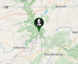
Comments