
Scenic Rim Trail
Main Range National Park


Menu
GPS Tracks
The Scenic Rim Trail is a new 4-day/3-night hike near Brisbane. Our group didn’t find the DES website information particularly helpful so thought we’d add some details we would liked to have known for future hikers.

Getting there:
Head to Thornton, south west of Brisbane and opposite the school, take Main Camp Creek Road south. Follow this for 5.6km, where you take a gravel track to your right; continue for 1km to the car park.
The hike starts at the private property of Thornton View Nature Refuge and ends at Cunninghams Gap. Part of it was previously only a private, guided glamping tour by Spicers (for $4,000 in 2020), but has recently been massively extended and opened up to for independent hikers (three nights National Park camping fees $20 in 2020).
We weren’t able to find any transfer to take us from the end back to our car at the start. Boonah taxis may be an option but would probably be pretty pricey. You’d need a pretty good friend to do the trip to pick you up, as its 1.5hrs to Cunninghams Gap from Brisbane, then 1.5hrs to Thornton, and another 1.5hr to Brisbane, so a 4.5hr round trip. We ended up doing a car drop at both ends, although leaving a car at Cunninghams Gap isn’t recommended as its on the highway.
Maps:
QPWS: Scenic Rim Trail
The map displayed at Thornton View: http://www.markroberts.id.au/Wordpress/scenic-rim-trail/
Route/Trail notes:
Edit: I have been able to provide a GPS track to the first's nights campsite.
Day 1:
Start at coordinates 152.326080°E, -27.833860°S. There is a car park and toilet block here, and honestly the best map we came across (not found on the website (see above)).
9km today, took us about 6 hours (we really took our time, lots of beautiful views).
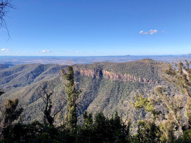
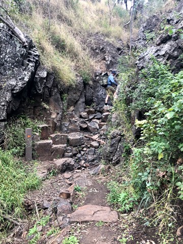
Small rock clambering sections, but otherwise steady uphill switchbacks.
Very easy to follow paths.
There is a ladder climb in this section but it can be avoided by taking the long way round.
Day 2:
All that you need to know today is: 'follow the road the whole day'. For some reason this is not mentioned in the track notes, so both our group and the other group we camped with stopped after about an hour thinking we’d missed a turnoff and spent 30 mins trying to figure out where we were. Trail markers are particularly sparse today, there was maybe one if at all.
14.5km, took us 4.5hrs (not much to see or stop for today).
Day 3:
We were a little nervous about today as we were not particularly experienced with navigation, and the track notes said navigational skills would be required today. In fact the track was quite easy to see almost the whole day, and if we did get off track we figured it out within a few metres. The only time this was not obvious was when a very newly fallen tree had blocked the path, but we found the path again within 5 mins. Even if you did get lost, there was not really anything to take bearings off. The path may be less obvious if grows over a bit.
There were many more trail markers today, but again fairly sporadic. There would be several in the space of 500m, and then none for 2-3km.
Not a particularly difficult day, a couple of creek crossings that were very easy, but might be harder after lots of rain.
10.5km, took about 6 hours (took our time). Beautiful walk through the rainforest.
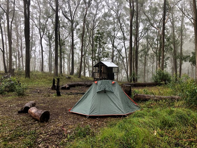
The campsite tonight was on platforms, which didn’t have any hooks or anything to attach to. We made do with sticks and things, but that might not cut it on an especially windy night!
Day 4:
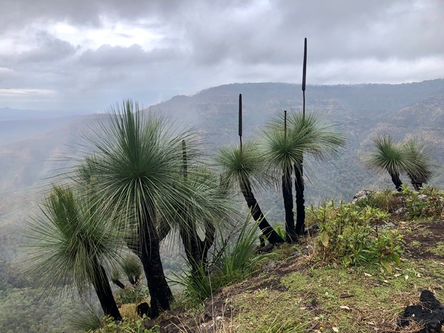
A little rock scrambling to get up to Bare Rock but otherwise very similar to day 3.
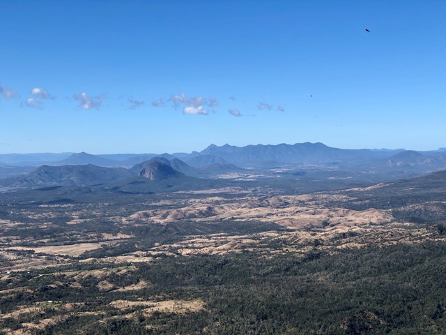
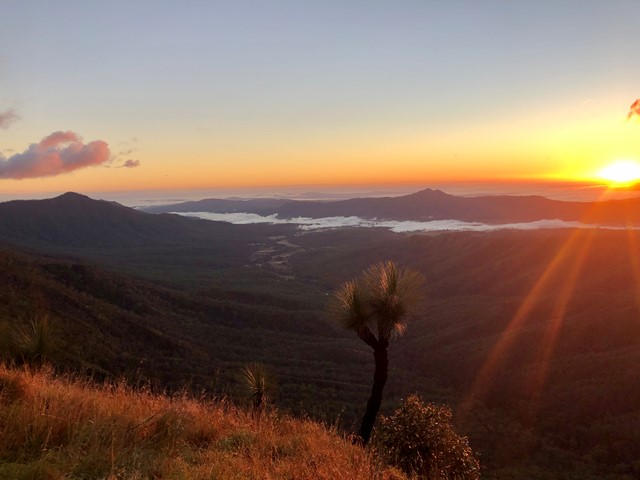
Absolutely stunning up on the Ridgeline.
13.3km, took about 5-6 hours again going fairly slowly
Permits/Costs:
National Park camping fees apply.
All campsites had a toilet block with a hybrid toilet with hand sanitiser (no toilet paper) and a water tank with an incredibly slow tap.
No marked campsites, just find a spot and pitch. We were lucky there were only two groups while we were hiking, if there was a third it would have been much harder to find a flat spot to pitch.
Other References/Comments:
Overall we really enjoyed the four days. It’s not a particularly challenging hike, but was a great long weekend to get out of the city and just be outdoors. DES definitely makes it harder than it sounds - it didn’t seem grade 5 to us, we didn’t need to do any navigating, and despite saying 4 times in the track notes 'one slip can be fatal', we didn’t find anything particularly sketchy.
 Scenic Rim Trail - Day 1 (GPX)
 47
47 4
4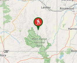
Comments