
Mt Razorback
Lamington National Park


Menu
GPS Tracks
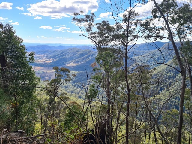
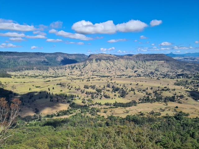
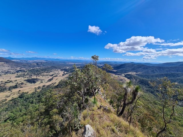
A full days walk to the summit of Mt Razorback will test your fitness and scrambling abilities. It starts as a steep uphill walk then as you join the ridgeline you will carefully traverse a razor sharp ridge with drop offs on either side followed by some precarious scrambling up loose cliffs. Not one for beginners but with enough care it is very achievable.

Getting there
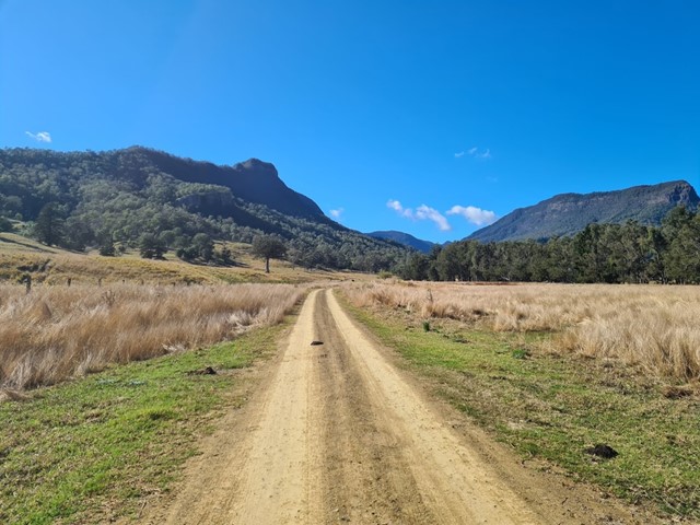
From Beaudesert drive along Kerrys Road until you reach a gate (shown in photo). Can park just prior to the gate at the Stephens Road turn off.
Route/Trail notes
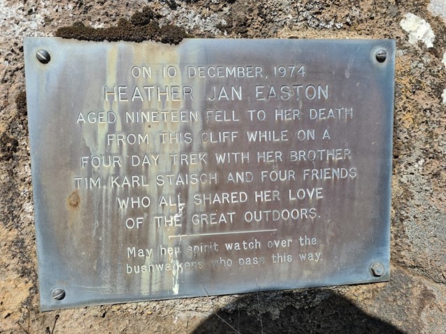
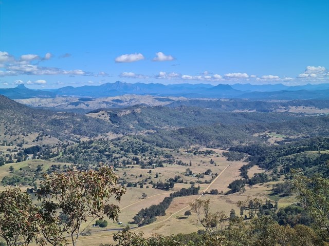
After passing the gate walk along the road for around 10-15 minutes. You will walk over a cattle grid and see a track following the fence to the left. Walk along this fence line until you reach the top of a ridge. From there head right and follow another steep and well marked track up until the main ridgeline. Here you will find a barbed wire fence you will need to cross (there is a section near the corner where you can easily walk under it). This is where the razorback part of the hike begins, the ridge will become narrower and narrower with a huge drop off on either side. The track is reasonably well marked however there are some points of confusion as you get closer to the cliffs. Generally you will verge to the left of the cliffs and follow the track until there is a small scrambling track to get to the top of the cliff and rejoin the ridgeline walk. There are ribbons marking the way so keep a look out. The track up the main/last cliff is very steep, and has a lot of long grass and loose rocks. Be careful, take your time, and if you find yourself walking somewhere that isn't a decently marked track, chances are you have missed a ribbon, or a scrambling section because the track to the top of the big cliff is well marked the entire way. You will see a memorial for a hiker who fell right near the top of the cliff.
From here you have some options. 1) Can enjoy the view then return the way you came. 2) Do a big circuit and descend from the other side of the mountain 3) climb to the summit and return the way you came. Be aware there is only a faint path, heavy scrunge, and no view at the summit, so unless you are peak bagging the best part of the walk is to the top of the cliffs and back along the Razor.
Permits/Costs
There is a sign on the gate at the end of Kerry Road which indicates you should call 0488 204 349 prior to entering. However this may be before entering the property rather than the road which allows you to access National Park. Unless you get in contact may be easier to park just prior to the gate at the turn off to Stephens Road and walk in.
Other References
https://www.wikiloc.com/hiking-trails/lost-world-mt-razorback-2014-7078424
 Mt Razorback 22/08/2020 (GPX)
 15
15 8
8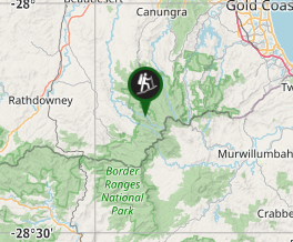
Comments