
Mt Tunbubudla East
Glass House Mountains National Park


Menu
GPS Tracks
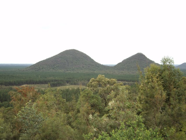

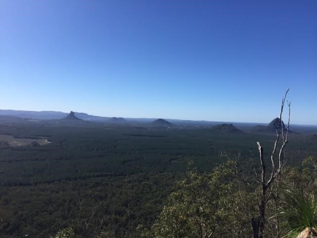
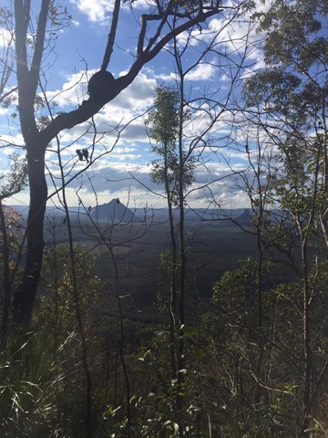
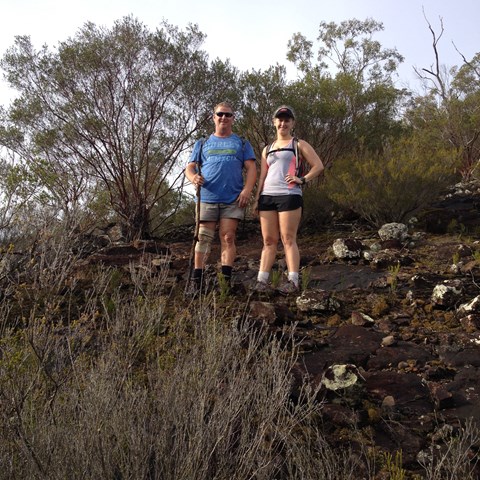
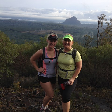
Mt. Tunbubudla is in fact two mountains known as The Twins. Not easy to access and certainly not easy to climb, and the view of the rest of the Glasshouse Mountains from the South really isn't visible through the trees on the summit. However, it can provide and excellent challenge in bush-bashing or in steep rocky ascents.

Getting there:
Unless you have a 4WD, then there is only one way in and then only if the weather has been dry for at least a week!
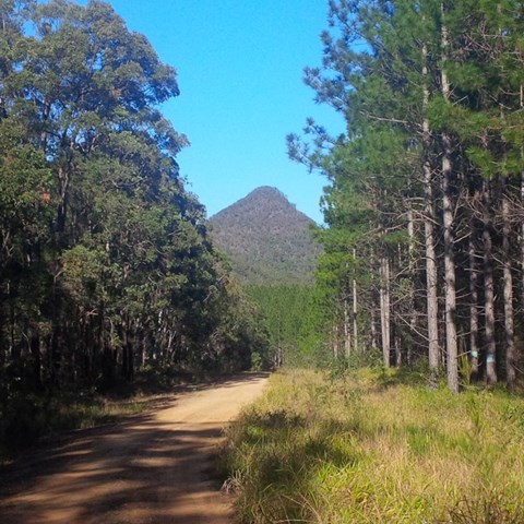
Follow the Steve Irwin Way to Beerburrum and turn west along the Beerburrum Road. After 1.6km, turn right onto Eaton Road and follow this unsealed road for 3.5km to the 'T' junction with the power lines running right and left, where you can park. The start of the walk is directly opposite you.
Maps:
Route/Trail notes:
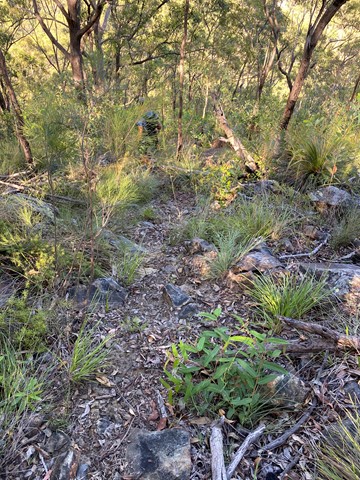
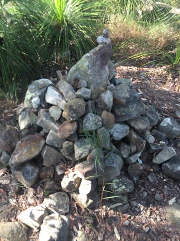
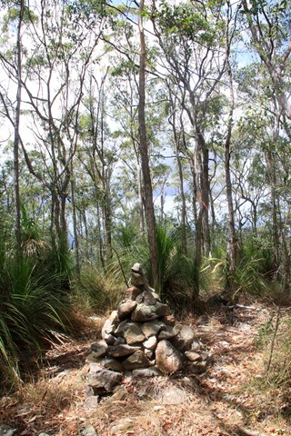
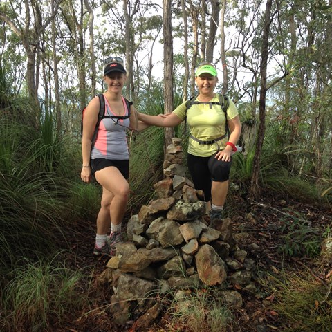
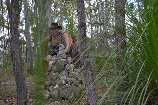
Follow the dirt bike track as it winds around the Eastern Twin for 1.4km till you reach a fork in the track. Take the right hand track and follow for 500m to the mountain's saddle. A less obvious but 'pink flagged' track to your right will take you to the top; add to the rock cairn that marks the summit.
This final pathway is extremely slippery, due to the scree and loose rocks. This is more hazardous on the way down and positively dangerous when wet.
You now have the option to return to the 'saddle' and climb the opposite West Twin or return the way you came.
Permits/Costs:
None.
 Mt Tunbubudla East (KML)
 4.9
4.9 3.5
3.5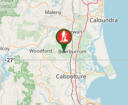
Comments