


 3
3 5
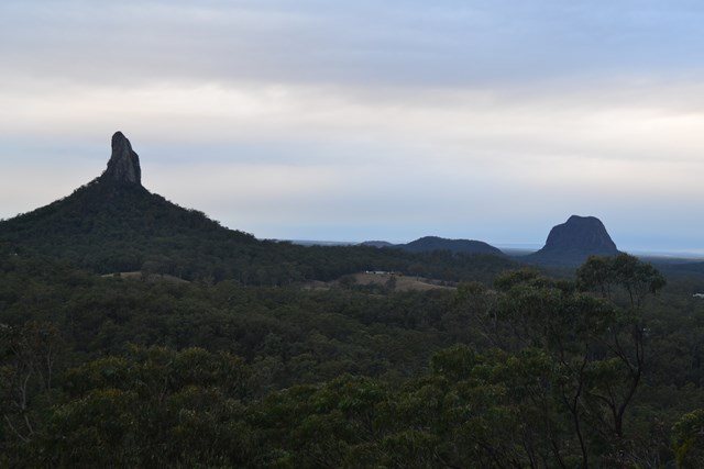
5- Mount Beerwah (Glass House Mountains National Park)
- Mt. Beerwah - Alpine Route (Glass House Mountains National Park)
- Mount Beerwah Base (Glass House Mountains National Park)
- Mount Beerwah Summit (Glass House Mountains National Park)
- Mount Beerwah Western Boundary (Glass House Mountains National Park)
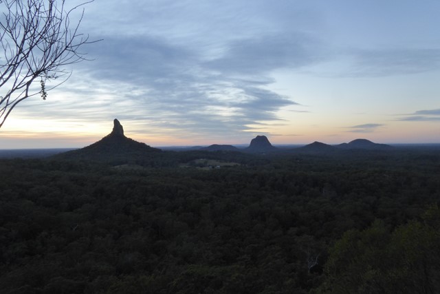
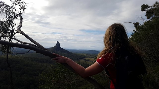
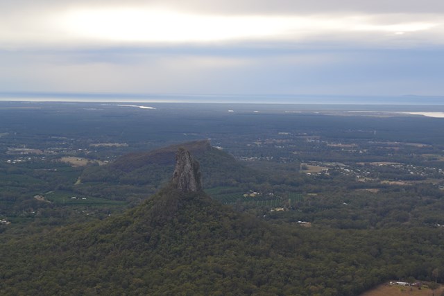
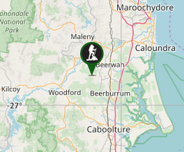
Mt Beerwah East Face
Glass House Mountains National Park
Menu
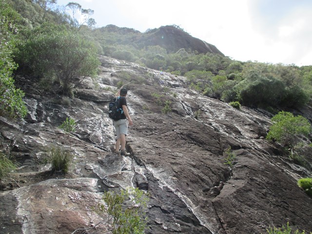
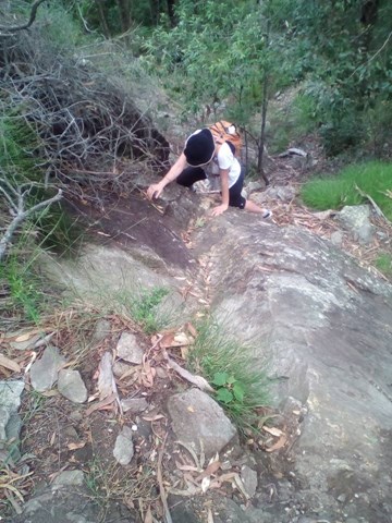
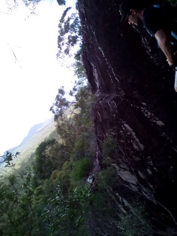

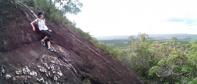


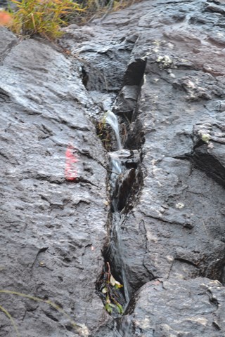
With the summmit track closed due to a massive rockfall in 2008 this is an alternative route to the summit. It is quite steep and exposed in places and not recommended if you don't have a head for heights.
Lookouts
Scrambling or Climbing
No Dogs Permitted
556m
Maximum Elevation
385m
Total Climb
PLEASE NOTE: This route should be considered a rock climb, not a walk. Please ensure you have adequate safety equipment and training before attempting this.
Route/Trail notes
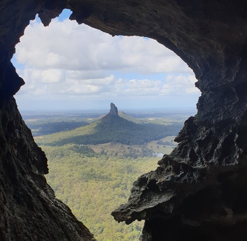
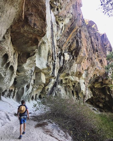
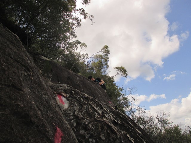
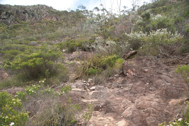
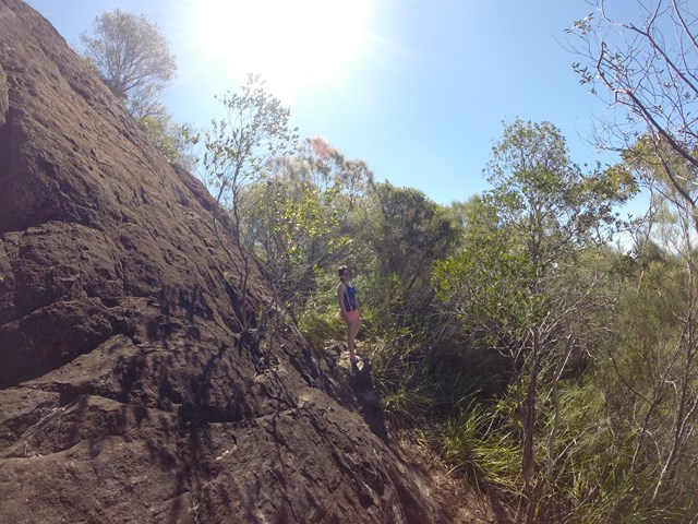
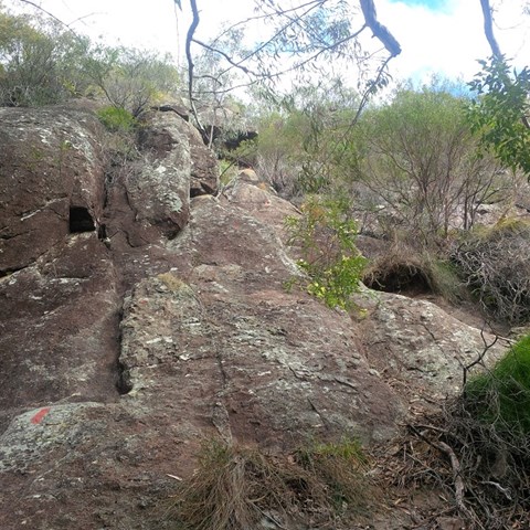
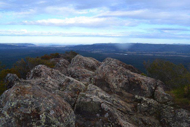
Park in the carpark at the base of Mt Beerwah. Walk back along the road a couple of hundred metres and look for a faint footpad heading towards the mountain. Follow this down into a gully and cross a small creek. Sidle along the left hand side of the mountain and cross 3 or 4 gullies before climbing a ridgeline. The track from here is well marked with pink flags and red paint on the rock. It wanders right and left until eventually reaching the base of a cliffline. At this point the track either goes right or left. The left track follows the base of the cliffline before reaching some caves. It then swings right up the ridgeline for the final ascent to the top of the mountain.
Permits/Costs
No permits or cost.
GPS Tracks
- No GPS available for this walk yet.
Where
Click here to load this map.
Comments