


 2019 04 28 Valley of Diamonds (GPX)
 13
13 5
5- Crows Nest Falls Circuit (Crows Nest National Park)
- Crows Nest NP to Perserverance Dam (Crows Nest National Park)
- Applegum Walk and Hartmanns Park Circuit (South East Queensland)
- Lake Cressbrook Walking Track - Day Use Area to Full Circuit (Darling Downs South West)
- Buaraba Creek Track (Ravensbourne National Park)
Valley of Diamonds
Crows Nest National Park
Menu
GPS Tracks
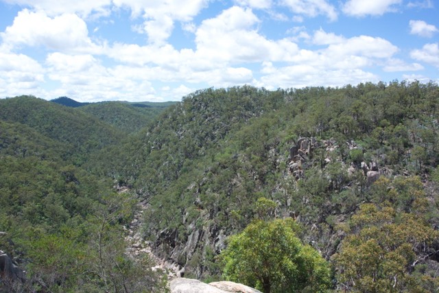

Starting from the same location as the normal day walks, it goes all the way to Perseverance Dam and then boulder-hopping all of the way up the gorge before a quick scramble up to Koonin Lookout
Lookouts
Bird Watching
Scrambling or Climbing
No Dogs Permitted
No Camping Permitted
Eucalypt Forest
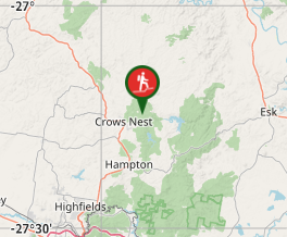
Getting there
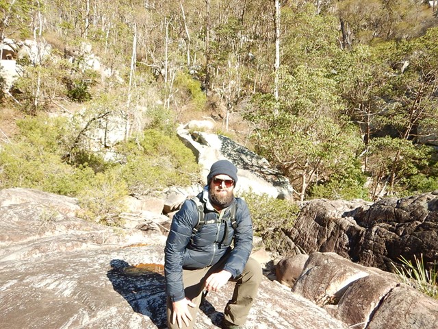
Starts at the end of the day-use parking lot, with all of the other day walks.
Maps
Which maps cover the area?
Route/Trail notes
Follow the day walks to the Cascades and cross over where there are steps. Follow a marked track on the other side of the creek until you hit an access road. Keep following the road until i turns left and then a well defined track (with occasional markers) will turn right. Once you hit the sandy bed of perserverance creek, cross over and follow the creek on the left side. There's some markers and trails, but at some points it may be easier to switch sides. Eventually there's an access road on the left of the creek bed. Follow that up and to Perserverance Dam.
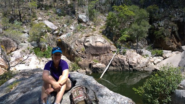
After lunch at the Dam, retrace your steps to the sandy creek bed, but stick to the right of the creek. Eventually the sides raise up and you are in the valley of diamonds! Lots of rock hopping will be required, your feet will probably get wet. Eventually there's the confluence with Cressbrook Creek. Follow the gorge to the left. Once you see Koonin Lookout high above, there's a rocky gully to the right. If you keep walking and hit the pool you've gone too far. Scramble up the gully and follow the trail to Koonin Lookout and then the day trails all the way back.
Permits/Costs:
None.
Other References/Comments:
None provided.
GPS Tracks
Where
Click here to load this map.
Comments