


 Cedar Creek Black Creek Mt Glorious (GPX)
 18
18 6
6- Cedar Creek Falls (South East Queensland)
- Cedar Creek to White Cedar Picnic Ground (Brisbane Forest park D'Aguilar National Park)
- Love Creek Falls (D'Aguilar National Park)
- Mount D Aguilar (D'Aguilar National Park)
- Greenes Falls via Rainforest Circuit + Cypress Grove Circuit (D'Aguilar National Park)
Cedar Creek - Black Creek
South East Queensland
Menu
GPS Tracks
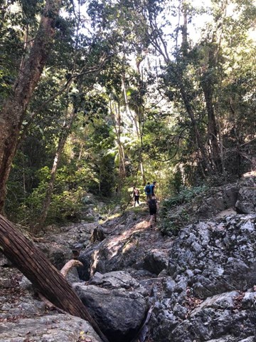
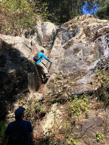


A nice loop along the creeks, falls and pools. Some hard steps requiring a little bit of easy climbing, sometimes impressive, especially when going down.
662m
Maximum Elevation
1246m
Total Climb
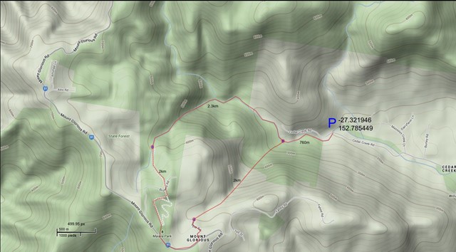
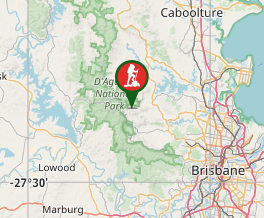
Getting there
30 km from Brisbane, drive to the end of Cedar Creek road.
Route/Trail notes
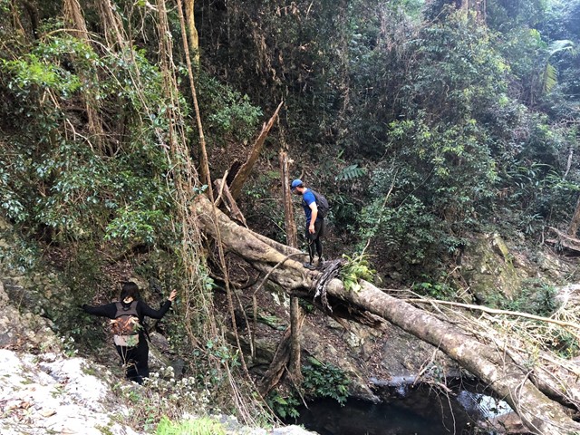
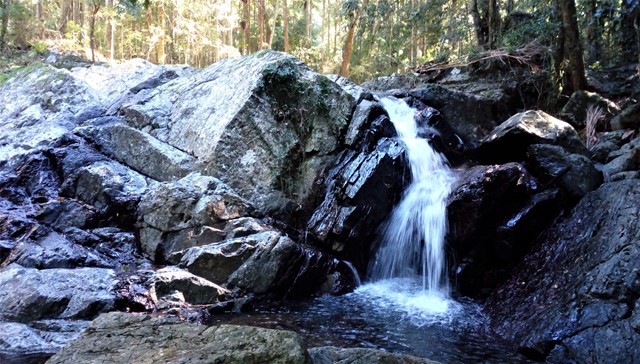
Walk, rock hopping, along the creek, up to Cedar Falls (a sign full of graffiti indicate that you reach them). Climb the falls, and few meters after a creek will join Cedar creek from the left (From Mt Glorious). I believe it is Black Creek. Climb this creek as much as you can. At the top, the aim is to find Lindsay Road. A compass and or a GPS would facilitate this. (The creek pass few meters from the road but it is not obvious to find, look for habitations on your left.
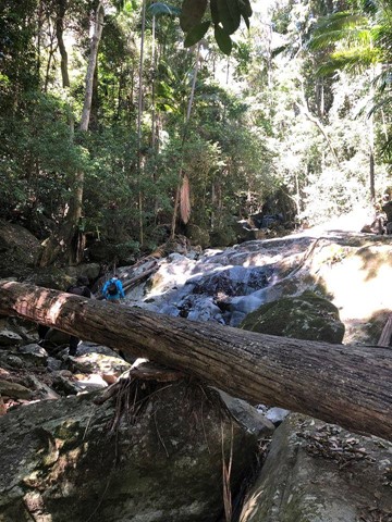
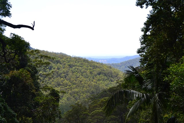
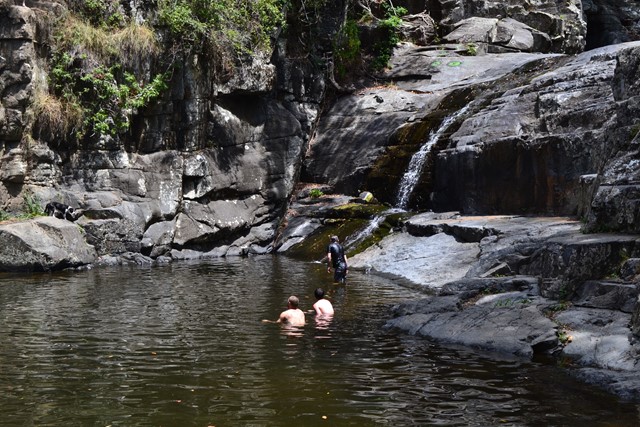
Follow this road to Mt Glorious road (right) then to Maiala Picnic ground. Follow Greene Falls track. At the end of the track, you are at the top of Love Creek. Climb down the creek (few impressive falls, do not hesitate to bypass them through the forest or take an abseiling rope.) Cedar Creek joins Love Creek via a small waterfall on the left. From here the terrain becomes a lot flatter and is almost a highway in comparison to the slow trip down Love Creek.
Enjoy the pools.
Note that rock hopping, climbing up and down takes a lot of time and that the hiking speed is not comparable to regular walking speed. I did this walk with my partner in 6 hours with a 20 min break for lunch, another 15 min break at maiala restaurant (for an iced chocolate) and a 15 min break for a swim. I would advise to start this hike early to have some more time to enjoy the pools, the falls and this relaxing environment. We didn't had a rope and it was fine, but for peaople who like abseiling, it might be considered.
Permits/Costs
We saw several marks of likely Bush camps along Black Creek. See with National park regulation for costs.
Where
Click here to load this map.
Comments