
Mt. Coot-tha Summit Track
Mt. Coot-tha


Menu
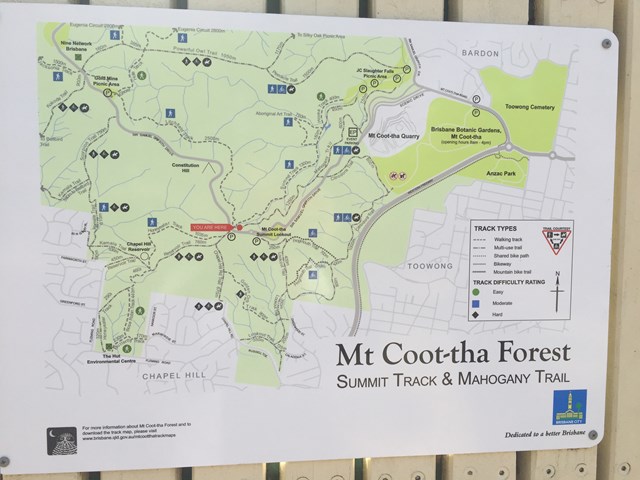
GPS Tracks
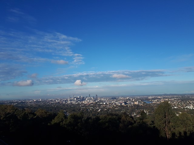
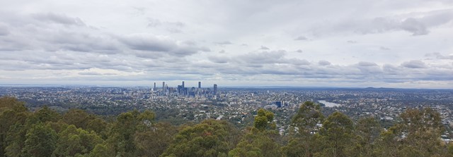
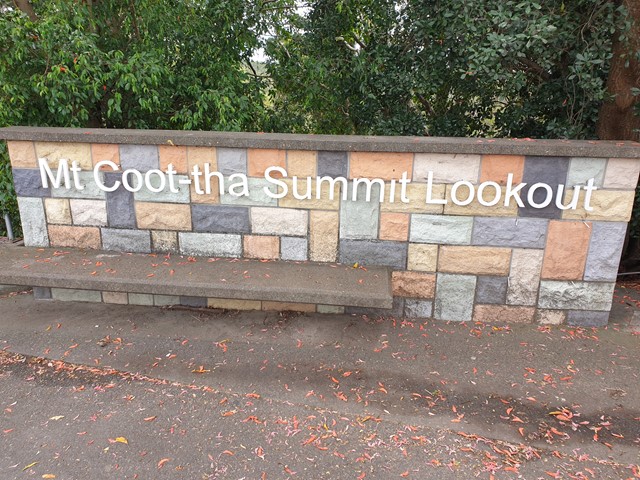
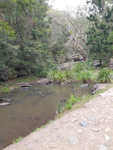
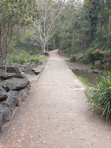

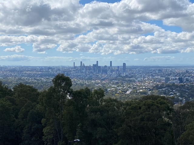

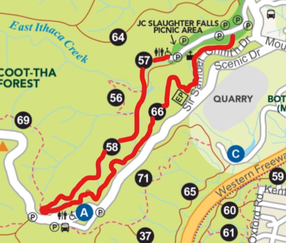
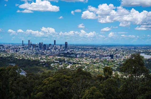
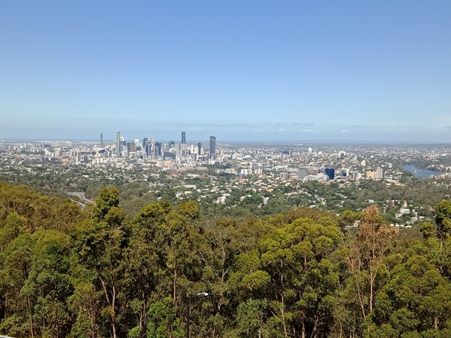
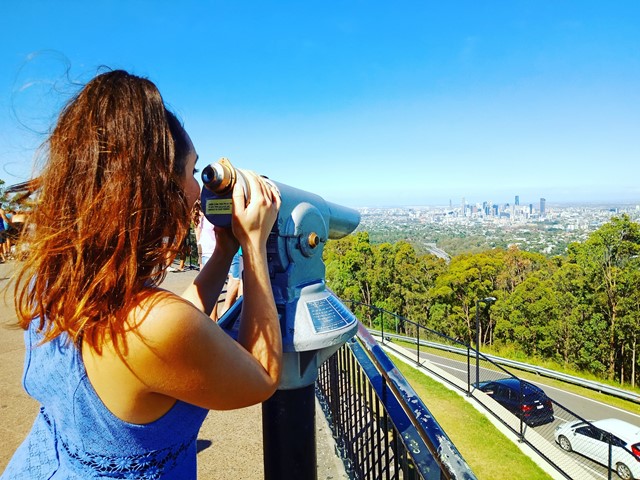
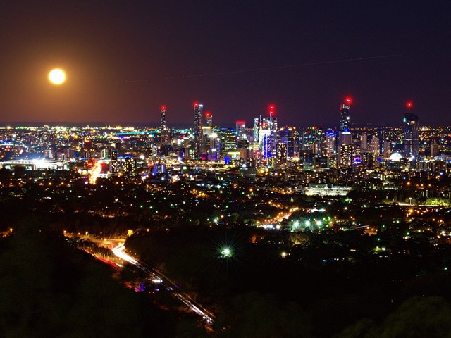

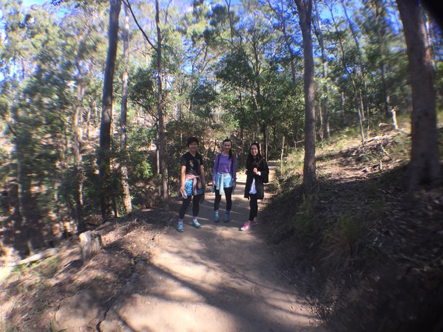
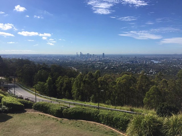
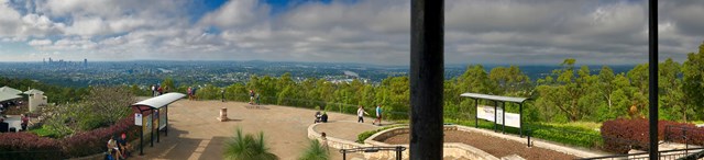
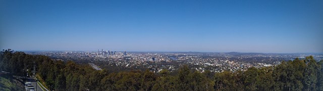

Mt Coot-tha Lookout has sweeping views of Brisbane City, Moreton Bay, and around to the Tweed Volcano, Main Range and Mount Barney and Flinders Peak. The walk to this lookout, from JC Slaughter Falls Picnic Area, is a potentially slightly testing but generally easy walk on a paved track that straddles a gully.
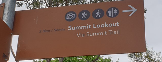
Lookouts
Picnic Facilities
Toilets
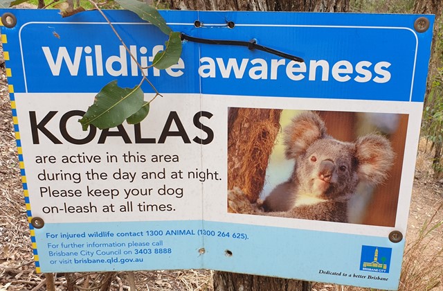
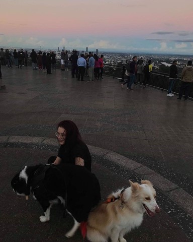
Dogs Permitted
Horses Permitted
Cycling Permitted
No Camping Permitted
Eucalypt Forest
231m
Maximum Elevation
156m
Total Climb

Getting there:
Walk starts at the far end of the JC Slaughter Falls picnic area. JC Slaughter Falls Road is off Sir Samuel Griffiths Drive.
Maps:
Route/Trail Notes:
None posted.
Permits/Costs:
None.
Other References/Comments:
You can in fact drive to the top along Sir Samuel Griffiths Drive, where there is restaurant and cafe.
 43 Mt Coot-tha Summit Track (GPX)
 5.3
5.3 75
75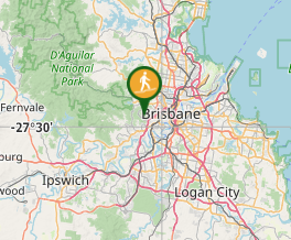
Comments