
Lake Manchester loop
Brisbane Forest park D'Aguilar National Park


Menu
GPS Tracks

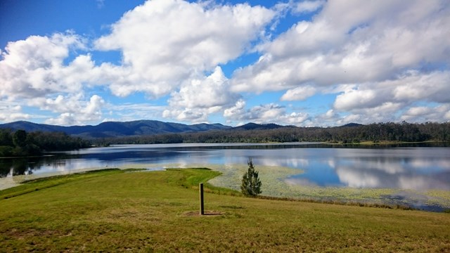
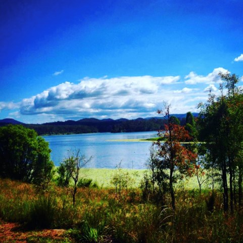

Starting and ending at the day use area, this is a clockwise loop in the hills around Lake Manchester through a conservation park adjacent to the D'Aguilar Range National Park (Brisbane Forest Park section).

Getting there
Lake Manchester day use area is near Kholo, about 25km west of Brisbane off Lake Manchester Road. This is well signposted from Mt Crosby, west of Kenmore.
The last section of road is gravel, but well maintained.
Maps
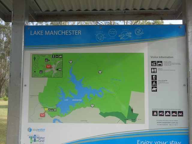
A location map is available on the DERM website (PDF) with the trail map here. A sign outlines the route at the start of the walk also.
Route/Trail notes
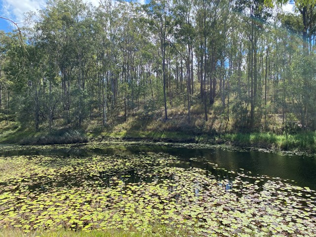
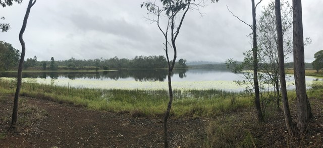
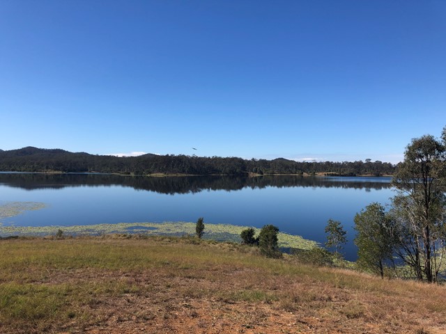
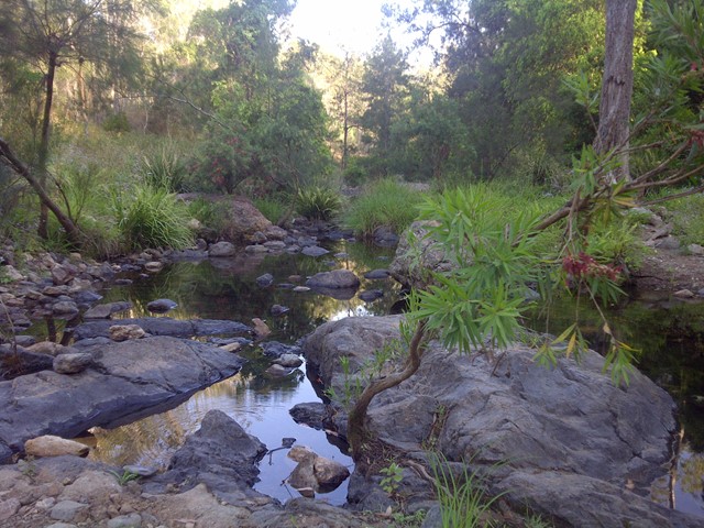
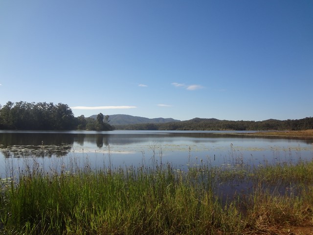
It starts up past the dam wall, and for a time follows the lake shoreline before climbing up into the ridges. For most of the walk the lake itself is not visible.
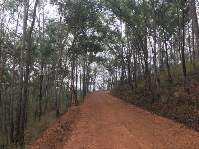
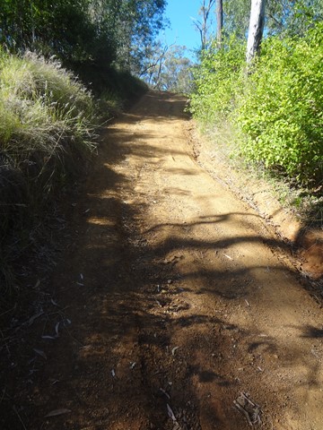
The route uses forest/fire roads which are well graded but a covering of loose gravel means caution must be taken on descents. The trail is very hilly with some testing steep sections.
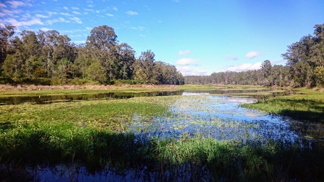
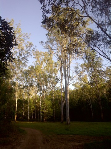
Most of the walk is through open eucalypt and ironbark forests with plenty of birdlife. Each intersection is signposted to remind you to turn right, without distances to the next feature. One sign towards the beginning of the trail going clockwise indicates that the trail continues up a hill, but it ends and goes nowhere so it is better to follow the shore.
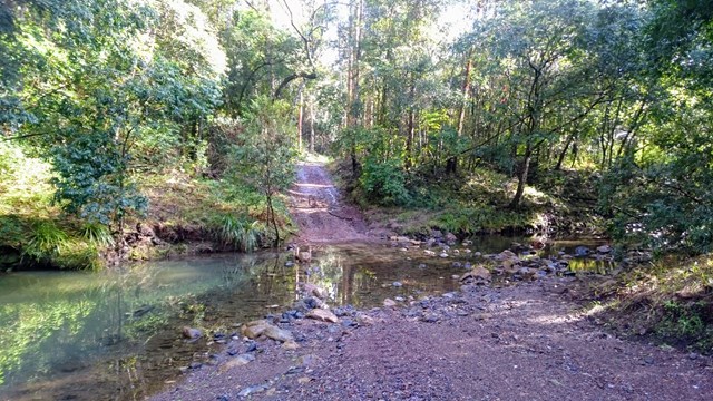
SEQwater signs warn that water should be boiled/treated before drinking so bring plenty of water. There are a few creek crossings but these are seasonal and for most of the year will be dry.
Sections of the track are shared use with horse riding and trail bikes.
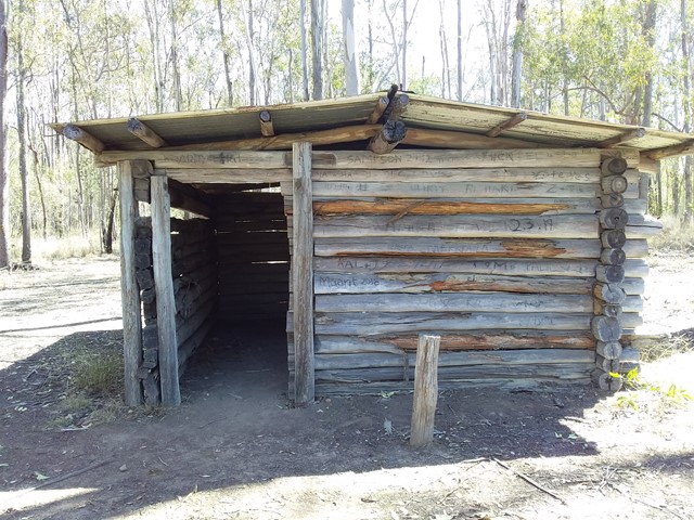
The loop passes a small hut but for the most part is open with some shade provided by trees.
Camping is allowed at the Blue Gum Flats campsite which is reached on the walk. This is a large flat grassy area surrounded by forest but has no facilities. Bookings are required via DERM and the site may be closed periodically for regeneration and during the wildfire season.
The final leg of the walk is along Lake Manchester Road as the trail does not lead directly back to the BBQ area. As a variation here it is possible to keep to the ridge above the lake on the boundary of the paddocks by climbing through a locked gate on the right of the main track. You will find this about 50m after you pass the locked road gate with the trail map at around 15km (you will still need to get back onto Lake Manchester Road for some of the walk regardless, through the railing fence at the end)
Permits/Costs
None required for the walk, and access is free. Booking is required via DERM for camping at the Bluegum Flats.
Other References
None.
 Lake-Manchester-18k-loop (GPX)
 17
17 5
5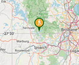
Comments