
Brian Burke Reserve / House Mountain
South East Queensland


Menu
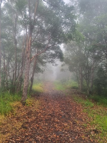
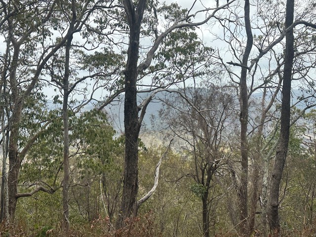
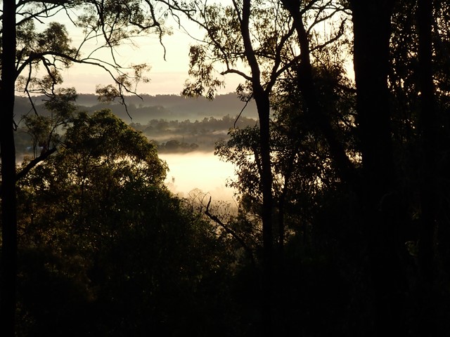
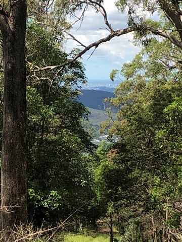
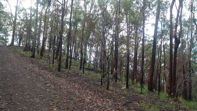
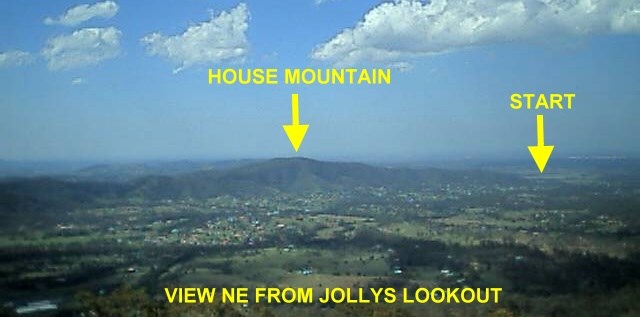
Moderate climb on well defined vehicle track. Some good views over Samford Valley toward Mt Nebo. Traverses up ridge line enjoying any breeze that's going, also making it a reasonable summer walk/climb, if there's a decent breeze. Very accessible from Brisbane.
380m
Maximum Elevation
280m
Total Climb

Getting there
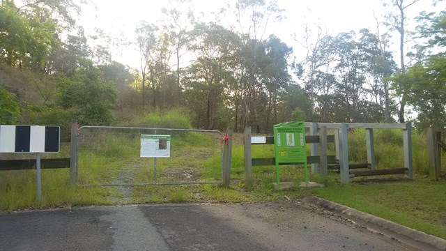
Park at western end of Woodview St, west of Samford Dayboro Rd.
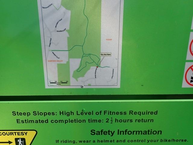
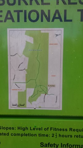
Maps
Samford Valley Trail Map (moretonbay.qld.gov.au)
Start point:
Route/Trail notes
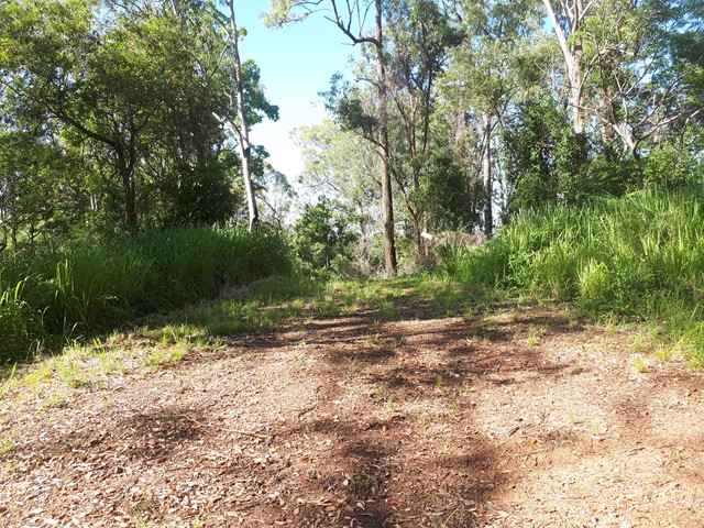
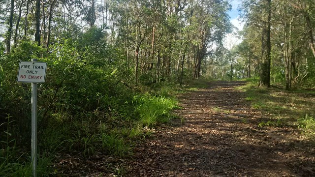
A moderate climb on well formed vehicle track, running west from the western end of Woodview St.
There are several climb sections punctuated by level sections.
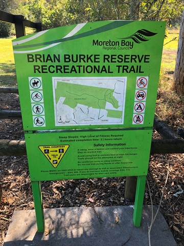
There are a couple of options for the first climb from the road. There's a map on a sign just in from the Woodview St entrance.
Permits/Costs
None required.
Other References
GPS Tracks
- No GPS available for this walk yet.
 5
5 2
2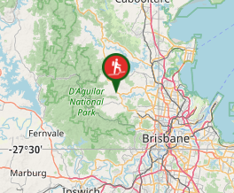
Comments