


 4.5
4.5 5
5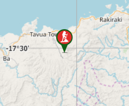
Aussie Bushwalking can keep track of your bushwalks.
Login/signup to tick this walk off.Mt Tomanivi
Fiji
Menu
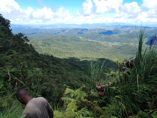
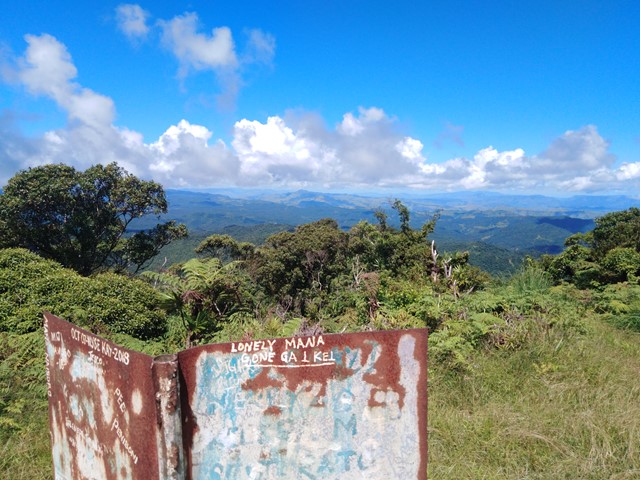
At 4,344ft Mt Tomanivi is Fiji's highest mountain and is located on the Central Northern part of the island between Nadi and Suva. The mountain is frequently engulfed in clouds and storms making it muddy and slippery almost year round. That being said there is a well marked track to the summit with a nice clearing at the top that offers a 360 degree view on clear days.
Lookouts
Bird Watching
Scrambling or Climbing
No Navigation Required
Rainforest
1324m
Maximum Elevation
Getting there
Regardless of whether you are in Suva or Nadi you will have to travel along Queens/Kings Rd (the road that runs along the perimeter of the island) to get to the turn off. Coming from Nadi you will travel roughly 2hrs before you come to the town of Tavua. Upon leaving the town be vigilant because the road will take a 120 degree turn and mid way through this there is a right turn down a paved road that very quickly turns to dirt. From here there is roughly another hour of constant dirt road until you go through a large village that very briefly has a paved road. This signals that you are only about 10 minutes or so from Navai (the next small village). Once there just try and speak to the first local you see and they will point you in the right direction.
Route/Trail notes
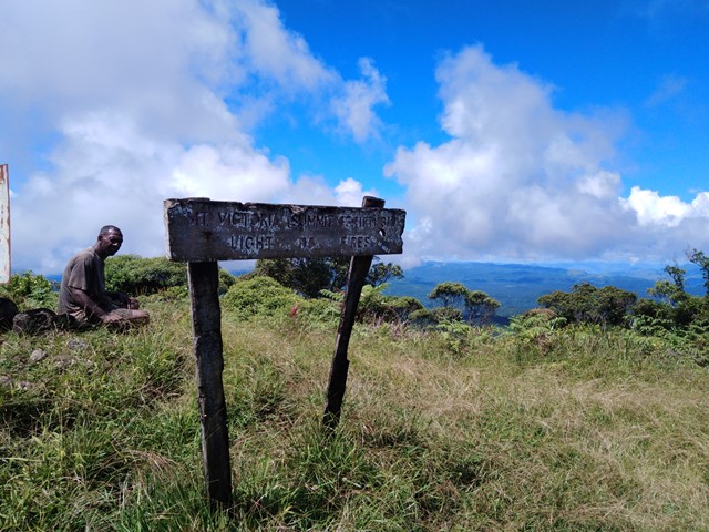
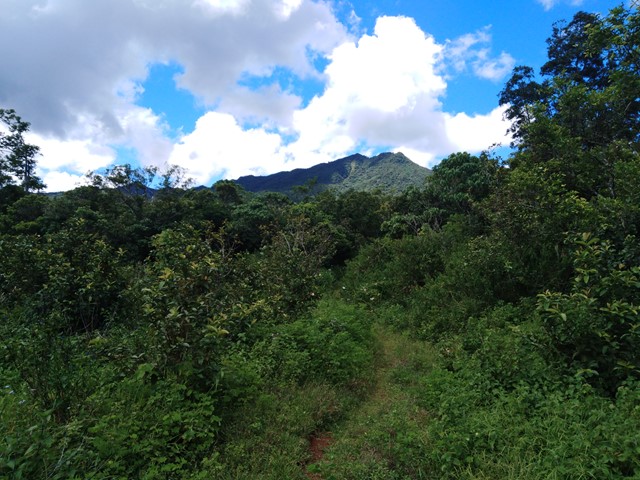
Once you have your guide they will inform you of the best place to park and you will commence your hike. Starts off relatively flat making your way to the base of the climb with a few river crossings. Eventually you will get to the base which is marked by 2 poles which used to have a sign attached to it until a cyclone blew it away. From here the hike becomes slippery/muddy and steep but certainly not beyond the capabilities of the average person. The summit features a nice clearing with 360 degree views and a huge sign (which says Mt Victoria - the name in colonial times).
Permits/Costs
$30 Fijian to access the hike, $50 Fijian for a guide
GPS Tracks
- No GPS available for this walk yet.
Comments