
Willunga Track
Ku-ring-gai Chase National Park


Menu
GPS Tracks
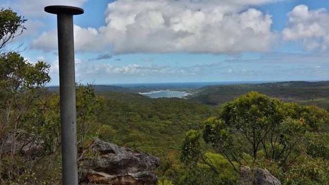
This short walk takes you to the highest point in Ku-ring-gai Chase National Park. At the top of the hill is an old trig point and some stunning panoramic view. On a clear day, there is an uninterrupted 180-degree view across large parts of the park, including Pittwater to the east and distant glimpses of Sydney city on the horizon, far to the south.

Getting there
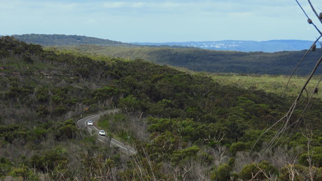
Trackhead signposted on West Head Rd, Ku-Ring-Gai Chase NSW
Maps
Which maps cover the area?
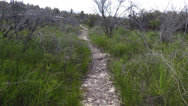
Route/Trail notes
There are no junctions on this walk so it's easy to know where to go. For detailed directions see links below or attached GPS file.
Permits/Costs
A park entry fee is required for driving into the park.
http://www.nationalparks.nsw.gov.au/passes-and-fees/fee-collecting-parks
Other References
http://www.nationalparks.nsw.gov.au/things-to-do/walking-tracks/willunga-trig-walking-track
https://hikingtheworld.blog/index-of-hikes/guide-to-west-head-bushwalks/#Willunga-Trail
 Willunga Track (KML)
 1.4
1.4 40
40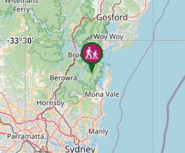
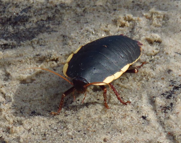
Comments