
Waratah Track
Ku-ring-gai Chase National Park


Menu
GPS Tracks

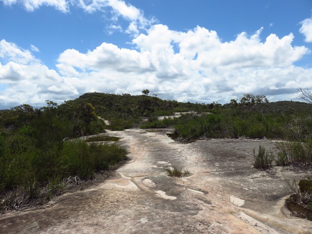
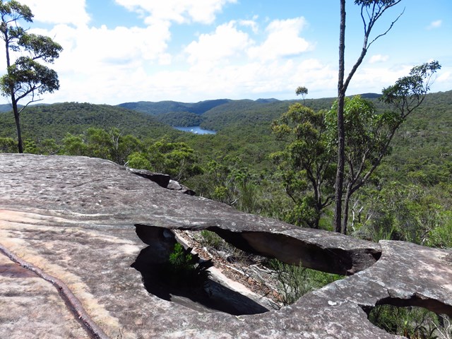
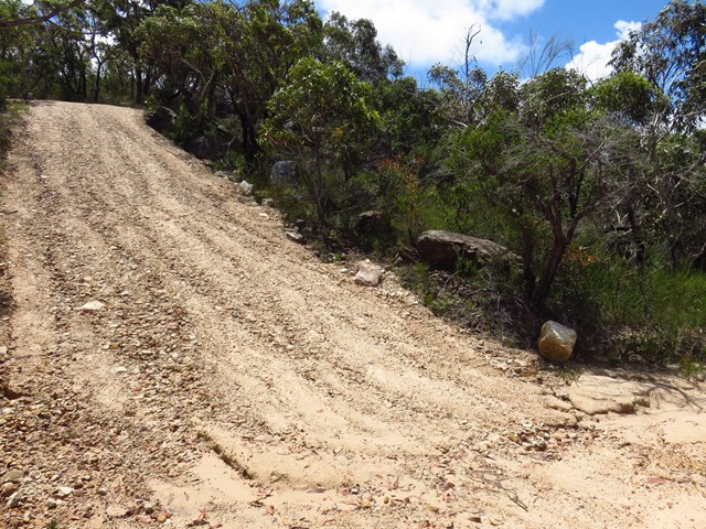
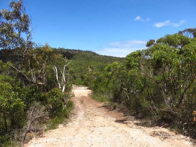
The long and easy Waratah Track track takes in wildflowers and some scenic water views over Akuna and Yeomens Bay in Ku-ring-gai Chase National Park at the end. It's a 4WD track - closed to vehicles but suitable for mountain bikes as well as walkers.

Getting there
West Head Rd, Ku-Ring-Gai Chase NSW. One of the first walks passed the boom gate and trackhead is well sign-posted.
Maps
Which maps cover the area?
Route/Trail notes
There are no junctions on this walk so it's easy to know where to go. For detailed directions see links below or attached GPS file.
Bicycles are allowed on this track.
Permits/Costs
A park entry fee is required for driving into the park.
http://www.nationalparks.nsw.gov.au/passes-and-fees/fee-collecting-parks
Other References
http://www.nationalparks.nsw.gov.au/things-to-do/Walking-tracks/Waratah-walking-track
https://hikingtheworld.blog/index-of-hikes/guide-to-west-head-bushwalks/#Waratah-Trail
 Waratah Track (KML)
 9
9 2.5
2.5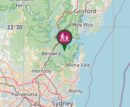
Comments