
Towlers Bay Track
Ku-ring-gai Chase National Park


Menu
An easy walk on a 4WD / management road, that leads down from West Head Road to Towlers Bay (where there are are a few houses that are accessed via water only). There’s also a YHA youth hostel at Towlers Bay, accessed via this track or by ferry/water taxi.

Getting there
Near the start of West Head Road in Ku-ring-gai National Park, on the right-hand (east) side of the road
Maps
None required as walk well sign-posted. You can get a basic map from the entry booth or purchase a Ku-ring-gai NP map from Visitor Centre
Route/Trail notes
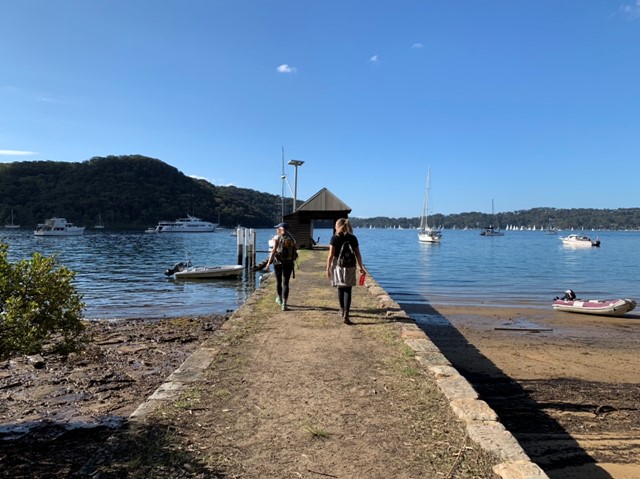
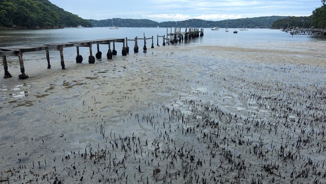
The tracks starts with a very gradual descent, becoming steeper after about 2km as it heads towards Morning Bay, when views of Pittwater below start to emerge. At around the 3km mark, the track starts to follow the coast (still 50-60m above sea level), with side-tracks down to Lovetts Bay and houses, and after another kilometre Woody Point is reached. There’s a sign to the ferry wharf, and another to the youth hostel. Continue along the coast to Towlers Bay, which is reached after about 4.5km.
Permits/Costs
Entry fee is payable ($12) or annual pass
Other References
https://hikingtheworld.blog/index-of-hikes/guide-to-west-head-bushwalks/#Towlers-Bay
GPS Tracks
- No GPS available for this walk yet.
 9.4
9.4 3
3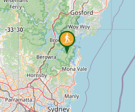
Comments
Nobody has commented on this walk yet. If you've done it then tick it off and add a comment.