


 4.5
4.5 2.5
2.5- Platypus Track (Castle Hill/Eric Mobs Reserve) (The Hills Shire)
- Stevensons Creek (Excelsior Reserve/Baulkham Hills) (The Hills Shire)
- Waterfall Walk (West Pennant Hills/Richard Webb Reserve) (The Hills Shire)
- Forest Walk (Cumberland State Forest) (The Hills Shire)
- Heritage Trail (Baulkham Hills) (The Hills Shire)
Burraga Track (Bidjigal Reserve)
The Hills Shire
Menu
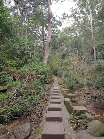

Valley views. Sandstone shelter, closed Coachwood forest, Ridgetop Heathland, sandstone gullies and woodland. Wildflowers and orchids in Spring. Eastern Water Dragons at Bidgiwong Rock. Water pools, flowing streams and filtered sunlight.
Getting there
The walk starts at the fire trail at the corner of Sanctuary Point Rd and Highs Rd, West Pennant Hills. The Burraga track is located in Bidjigal Reserve. The walk is identified by a yellow bandicoot logo on guide posts. Burraga is the Darug word for bandicoot.

Route/Trail notes
Detailed track notes are available on the Shire's information sheet.
GPS Tracks
- No GPS available for this walk yet.
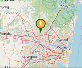
Where
Click here to load this map.
Comments