
Mueller Track
Greater Sydney


Menu
The longest trails in the St Ives Wildflower Garden, a relatively “undiscovered” park in Sydney’s north. An easy walk with some variety of terrain.
Lookouts
Picnic Facilities
BBQ
Toilets
Public Transport
No Dogs Permitted
Eucalypt Forest
155m
Maximum Elevation
150m
Total Climb

Getting there
Start at the St Ives Wildflower Garden Visitor Centre (north St Ives)
Maps
- Free sketch map (non-topo) from Visitor Centre
- STEP Walking Track – Sheets 1 & 2 Bungaroo & Roseville Bridge
- Hornsby 9130-4S 1:25K (not detailed enough to be of any use)
Route/Trail notes
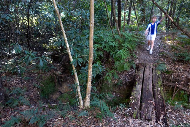
A circular walk, the Mueller Track descends gently down to Ku-ring-gai Creek, which it follows for a kilometre or so, before returning via Tree Fern Gully Creek.
Permits/Costs
Free
Other References
https://hikingtheworld.blog/2017/08/05/mueller-track-st-ives-wildflower-garden/
GPS Tracks
- No GPS available for this walk yet.
 4.3
4.3 90
90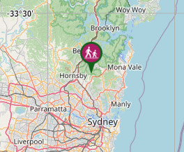
Comments
Nobody has commented on this walk yet. If you've done it then tick it off and add a comment.