
Headland Track / Resolute Loop
Ku-ring-gai Chase National Park


Menu
GPS Tracks
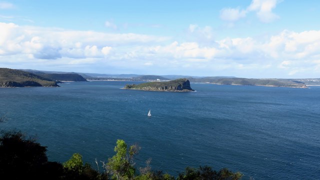
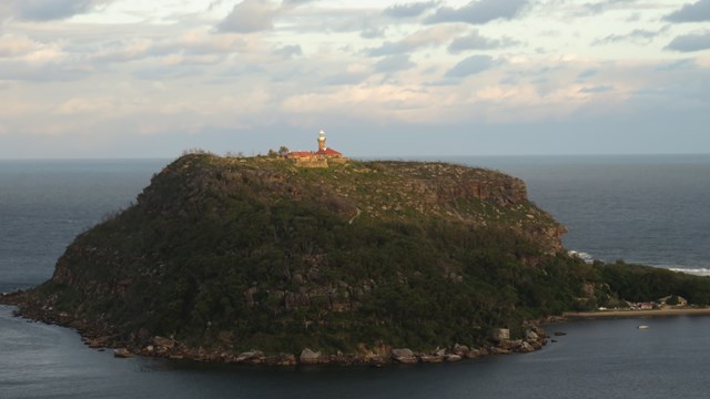
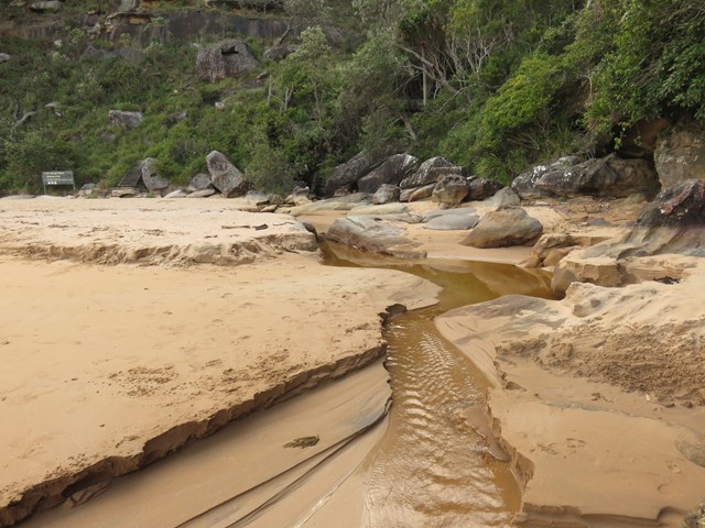

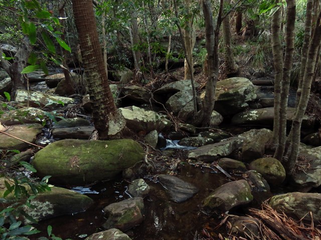
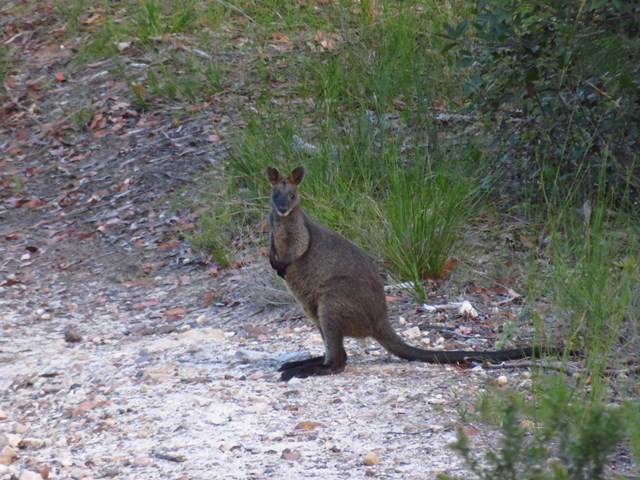
The Resolute Track at far end of West Head provides access secluded beaches, a number of interesting aboriginal sites in the area and numerous lookouts. It's a good walk in summer as you can stop for a swim at West Head Beach, Resolute Beach or Great Mackerel Beach.

Getting there
Park at Resolute Picnic Area on West Head Rd, Ku-Ring-Gai Chase NSW.
Maps
Ku-ring-gai & Berowra Valley Visitor Guide (from Info Centre). Tracks are well sign-posted.
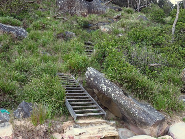
Route/Trail notes
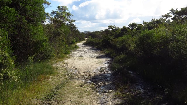
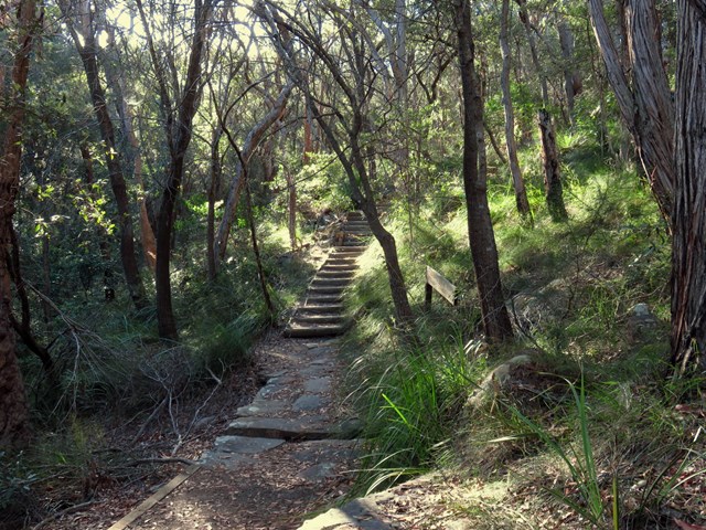
Signage on the walk is fairly good. For detailed directions see links below or attached GPS file.
Permits/Costs
A park entry fee is required for driving into the park. This was $12 as of 2016.
http://www.nationalparks.nsw.gov.au/passes-and-fees/fee-collecting-parks
Other References
http://bushwalkingnsw.com/walk.php?nid=238
https://hikingtheworld.blog/2016/05/28/resolute-loop-trail/
 Resolute Loop (KML)
 4
4 105
105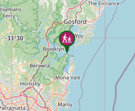
Comments