
Bairne Track to The Basin Circuit
Ku-ring-gai Chase National Park


Menu
GPS Tracks
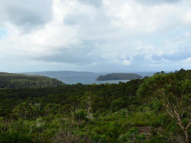
Nice walk along ridge tops to secluded beaches, an enticing lagoon and detailed indigenous engravings. Can be done as a return walk to a really nice lookout near the end of the Bairne Track, or combined with the The Basin track to form a circuit (using a ferry to connect the two walks)

Getting there
Ferry: Catch the ferry from Palm Beach Public Wharf, Palm Beach. These run each hour privately but open to the public http://www.palmbeachferries.com.au
Maps
Ku-ring-gai & Berowra Valley Visitor Guide (from Info Centre)
Route/Trail notes
See attached GPS tracks. These instructions start from the car park. If arriving from ferry you will be at the midway point of this circuit. From the parking area follow the marked Bairne track. Continue along the path ignoring the Towlers Bay Track; keep going until you reach a junction of Portuguese and Soldiers Point.
Option A
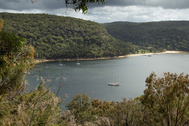
Follow the Soldiers Point Track until you reach the Basin Lookout. After seeing the view return back the way you came, past the junction, past Towlers Track after a couple of minutes you will see an opening on the right. This is a little overgrown but keep heading north following the track. Some people have placed rocks to help you find the track easier. Continue until you reach the beach.
Option B
Follow the main track to the Soldiers Point lookout. At the far end of the Soldiers Point there is a faint but obvious foot-track that heads steeply down the ridge. There are a couple of cairns, but the track is fairly easy to follow.
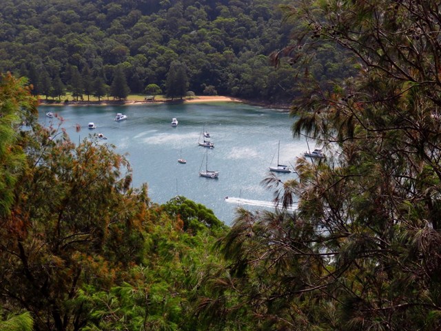
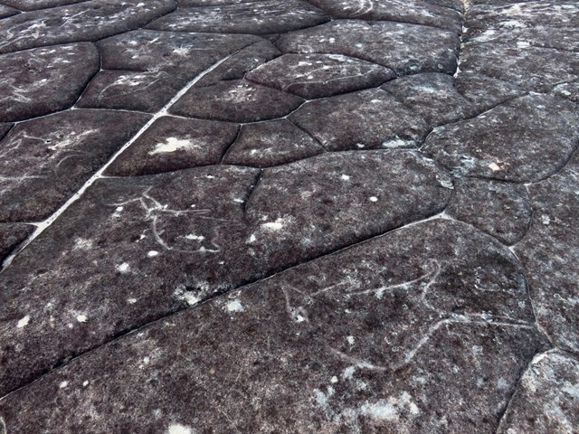
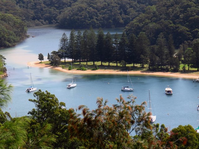
Follow the beach away from The Basin, on low tide you may be able to cross the inlet; if the tide is too high continue along the beach until you reach Bonnie Doon Wharf (Palm Beach Ferries typically service this wharf each hour). Take the ferry across the bay (it takes 2 minutes). From the camping ground head up the steep cement driveway. Follow this path and you'll eventually reach the aboriginal art site. Once you reach West Head Rd turn left and follow the road back to Bairne Track carpark.
Permits/Costs
To drive your car through Ku-ring-gai West Head Rd you will need to pay an $12 vehicle fee. When arriving via ferry on The Basin Campground you will need to pay a $3 landing fee.
Other References
Track notes & photos for the loop walk: https://hikingtheworld.blog/2017/03/25/bairne-to-basin-circuit-west-head/
Track notes and photos for Bairne Track (return walk): https://hikingtheworld.blog/2016/08/20/west-head/#Bairne
Walks in Nature Australia 2013 p15, ISBN-13 9781741174267
 Bairne to Basin Circuit (KML)
 11
11 3.5
3.5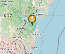
Comments