
Menu
Popular Walks
-
Coombabah Lakelands Conservation Area
(50 ticks) -
Mangrove Boardwalk
(21 ticks) -
Wetland Trail
(1 tick)
Parent Regions
Summary
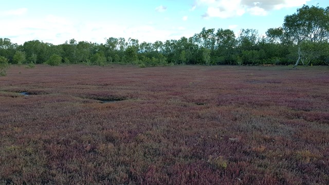
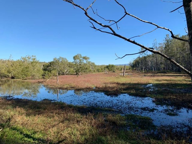
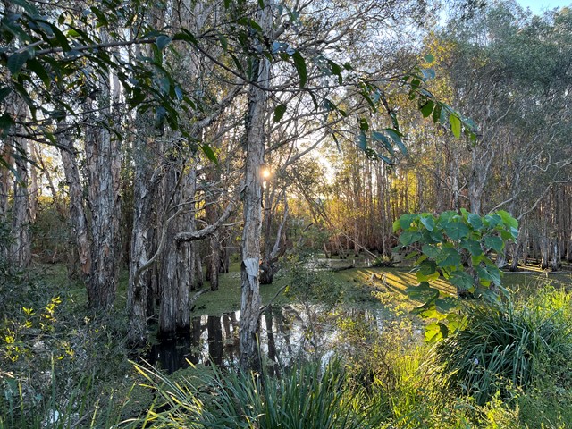
Coombabah Lakelands Conservation Area is part of an estuarine corridor extending from Lake Coombabah to the Broadwater and Southern Moreton Bay. Coombabah Lakelands Conservation Area protects more than 1200 hectares of wetland, eucalypt forest, salt marsh and mangrove habitat. (CoGC website)
Popular Walks
-
Coombabah Lakelands Conservation Area
(50 ticks) -
Mangrove Boardwalk
(21 ticks) -
Wetland Trail
(1 tick)
Parent Regions
History
Unknown
Features
There's a short mangrove walk all the way to the Coombabah lake where there is a small bird watching hut. Otherwise there are hundreds of kangaroos around the main part of the parklands. If your luckly you'll spot even a Koala, otherwise there are plenty of birds too.
Access
From the Gold Coast Highway or Rain Tree Glen (street off Pine Ridge Road). As it's a subrunban area, I'm sure there is some form of public transport stopping near the region.
Maps
Which maps cover the region?
Accommodation
Gold Coast is a tourism capital, I'm sure you'll be able to find a place near by to stay the night.
Camping
No camping allowed
Other
Contact details
City of Gold Coast: https://www.goldcoast.qld.gov.au/thegoldcoast/coombabah-lakelands-conservation-area-27193.html

 5
km
return
5
km
return
 1
hr
1
hr
Coombabah Lakelands Conservation Area
There is no direct track, just a heap of different paths, where you can wonder through the conservation area spotting all sorts of wildlife. Especially kangaroos, that are slowly becoming more used to humans, so you can get some really nice photos of some semi wild kangaroos. Otherwise there are koalas and bird life also to enjoy.
 1
km
return
15
mins
1
km
return
15
mins
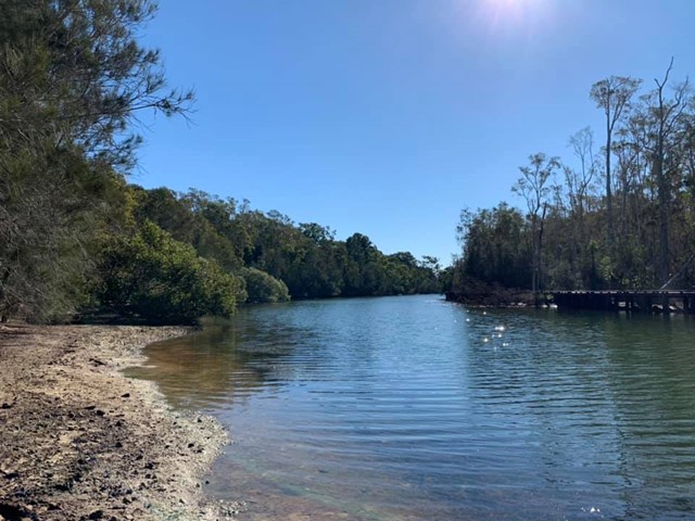
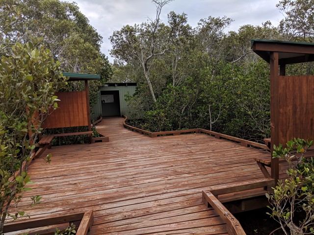
Mangrove Boardwalk
A short walk through the mangroves. At the end there is a bird tower that overviews the Coombabah lake.
 3.6
km
return
1
hr
3.6
km
return
1
hr
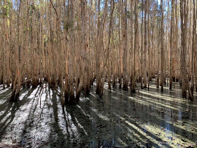
Wetland Trail
Well signed trail through the wetland. Concrete surface/ gravel surface. Occasional seating areas. Partly wheel chair friendly.