
Round Mountain
Cathedral Rock National Park


Menu
GPS Tracks

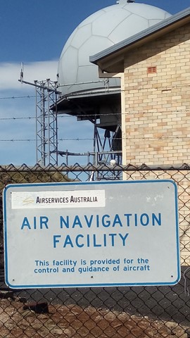
Round Mountain is the highest point of the New England Tablelands, at 1579m. However, the summit is occupied by Airservices Australia as an Air Navigation Facility, but this does not stop you walking around the perimeter and enjoying the views.

Getting there:
From Armidale, drive east on Barney Street, which soon becomes Grafton Road and later Waterfall Way (State Route 78) for 70km, passing through Argyle and Wollomombi.
Take the Round Mountain Road turnoff on the left and after 8km of narrow gravel road, turn right into Barokee Campground. A day use car park and picnic area is just on you left.
Maps:
Route/Trail notes:
The route is along Round Mountain Road beyond the campground, but is gated to prohibit vehicles. Walkers however, are able to continue on to the summit of Round Mountain along the steep tarmac roadway.
Permits/Costs:
None.
Other References/Comments:
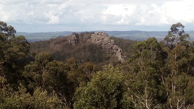
Whilst at the Barokee day use area, take advantage of the Cathedral Rock walk/climb (6.2km return).
 141 Round Mountain (GPX)
 5.5
5.5 2
2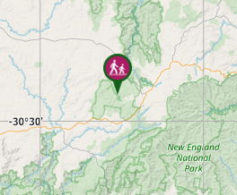
Comments