


 13.5
13.5 6
6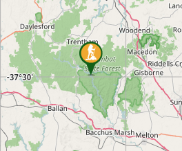
Aussie Bushwalking can keep track of your bushwalks.
Login/signup to tick this walk off.Lerderderg Gorge River return via Cowan Track
Victoria
Menu
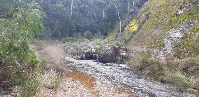
A nice 6km walk along the Lerderderg Gorge, Starting at Obriens crossing and returning via Cowan track.
Getting there
Lerderderg Gorge is situated roughly 60km west of Melbourne, the park itself is split down the middle by the name-sake gorge which can be walked along for pretty much its entirety. I recommend driving in from the West, from Blackwood as the entrance to Obriens crossing from the East is unpaved road for a much longer distance than the west.
Maps
The Meridian maps range has a Larderderg gorge map that is perfectly designed for walkers in this area.
http://www.exploroz.com/Shop/Maps/Meridian/Lerderderg___Werribee_Gorges_Map_Guide.aspx
I have also provided a google KML file which can be imported into Google earth which will provide you with a very helpful info.
I recommend reading my hike notes first. http://hike-australia.com/featured/hike-report-lerderderg-day-3/attachment/hikeaus-lerderderg-hike-report/
Route/Trail notes
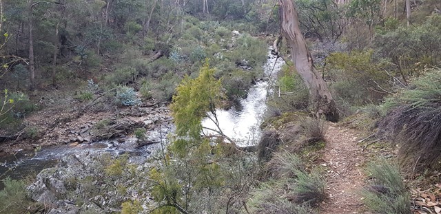
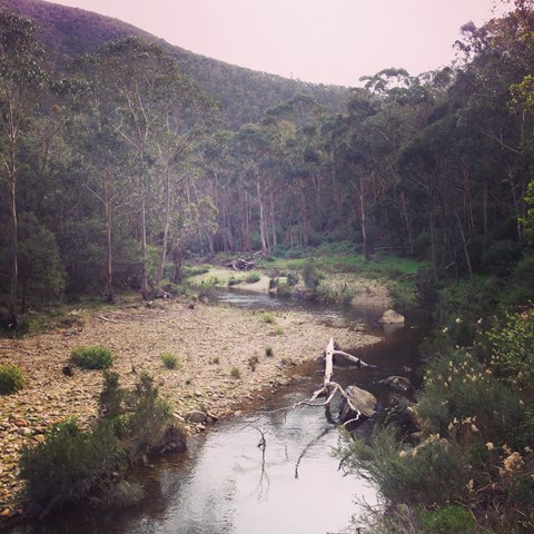
This can be either a lazy overnighter or a relatively hard working 1 day walk, Starting at Obriens crossing, you simply walk along the river for roughly 6km, at this point there is a turn off into further into the park, following this walk you can find Cowan track which runs back to the main road, a short 1km jaunt along the road returns you to your start location at O'Briens crossing.
Read my detailed track notes at:
http://hike-australia.com/featured/lerderderg-day-1n2/
Permits/Costs
Lerderderg Gorge is a DSE Victoria park, this means that there are no camping fees or permits required for walking the park.
Other References
http://hike-australia.com/featured/lerderderg-day-1n2/
http://hike-australia.com/featured/hike-report-lerderderg-day-3/
GPS Tracks
- No GPS available for this walk yet.
Comments