
Menu
Popular Walks
-
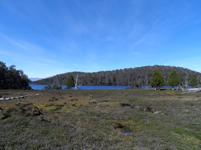
Dove Lake Circuit
(95 ticks) -
Wineglass Bay
(85 ticks) -
Cataract Gorge
(67 ticks) -
Overland Track
(53 ticks) -
Mount Amos
(49 ticks)
Sub-Regions
- Bruny Island
- Cradle Mountain-Lake St Clair National Park
- Dip River Regional Reserve
- East Coast
- Franklin-Gordon Wild Rivers National Park
- Freycinet National Park
- Maria Island National Park
- Mount Field National Park
- Mt Roland face walk
- Reynolds Falls Nature Recreation Area
- Southwest National Park
- Tasman National Park
- Wellington Park
- West Coast Tasmania
Summary
With 3 UNESCO sites Tasmania sure has it's fare share of walks and lookouts.
Popular Walks
-
Dove Lake Circuit
(95 ticks) -
Wineglass Bay
(85 ticks) -
Cataract Gorge
(67 ticks) -
Overland Track
(53 ticks) -
Mount Amos
(49 ticks)
Sub-Regions
- Bruny Island
- Cradle Mountain-Lake St Clair National Park
- Dip River Regional Reserve
- East Coast
- Franklin-Gordon Wild Rivers National Park
- Freycinet National Park
- Maria Island National Park
- Mount Field National Park
- Mt Roland face walk
- Reynolds Falls Nature Recreation Area
- Southwest National Park
- Tasman National Park
- Wellington Park
- West Coast Tasmania
Other Information
UNESCO Sites
- Tasmanian Wilderness
- Macquarie Island
- Darlington Probation Station
Contact details
Tasmania Parks & Wildlife Service
http://www.parks.tas.gov.au/
Regions
...
Walks in Tasmania

 4.5
km
return
4.5
km
return
 3
hrs
3
hrs
Ironstone Mountain
Challenging track with steep sections , scrambling over boulders and crossing the Western Creek waterfall makes for a very fun hike. Do NOT attempt this one if you are unfit, inexperienced or ill-prepared. This is for the more serious of hikers/walkers.
 3.4
km
return
40
mins
3.4
km
return
40
mins
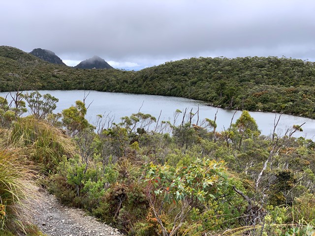
Lake Esperence
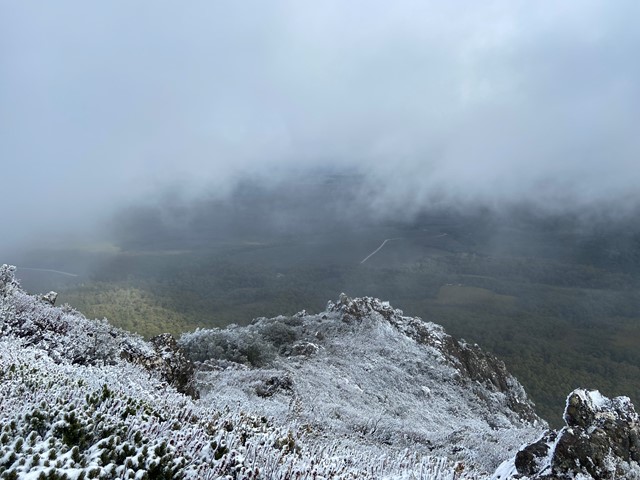
From the car park of the fantastic Hartz Mountains Nation park this is an easy walk however the weather can turn into blizzard conditions at the drop of a hat, we were lucky, middle of summer weather held out for us but was still only 13 degrees. Beautiful views of the surrounding ranges & lake Esperance will not disappoint, despite the temp I’d have gone swimming if I’d had a towel. Very mild incline for the first part of the walk but very easy overall Highly Recommend
 13
km
return
3
hrs
13
km
return
3
hrs
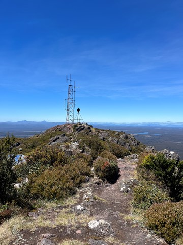
Legges Tor
Rough yet relatively easy hike to the summit of Legges Tor from Car Vila. This is rocky, boulder terrain so do wear appropriate footwear !!!!
 1.8
km
return
45
mins
1.8
km
return
45
mins
Leven Canyon Lookout
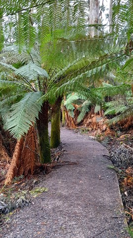
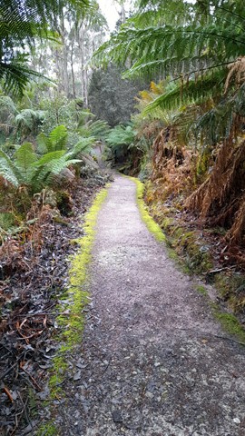
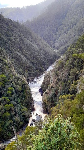
Visit two different lookouts over spectacular Level Canyon on this short track through luscious ferns. Both Edge Lookout and Cruickshank Lookouts give great views of the canyon and Cruickshanks also allows you to see Black Bluff to the South.
 10.6
km
return
6
hrs
10.6
km
return
6
hrs
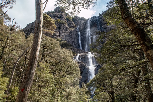
Meander Falls Circuit
One of Tasmania’s 60 Great Short Walks, the hike to Meander Falls can be done as a circular walk, taking in a variety of terrain and a number of smaller (but equally impressive) falls by taking the Split Rock Track back.
 22
km
return
8
hrs
22
km
return
8
hrs
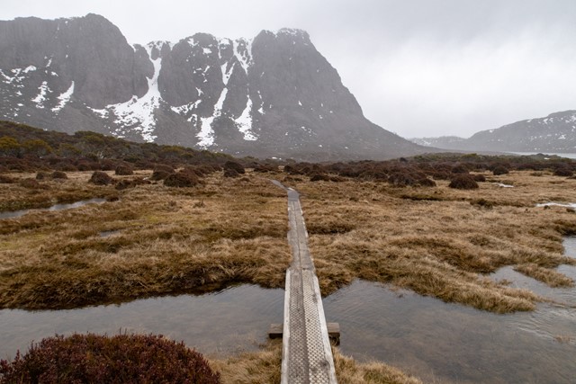
Mt Jerusalem, Walls of Jerusalem
A hardened track to Dixons Kingdom and Mt Jerusalem provides relatively easy access to Tasmania’s most remote alpine National Park, with spectacular scenery and the option of climbing a number of peaks along the track.
 8
km
one-way
6.5
hrs
8
km
one-way
6.5
hrs
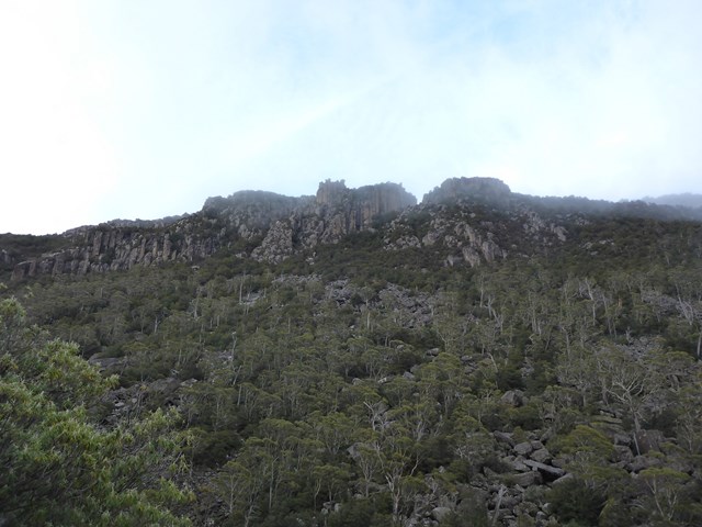
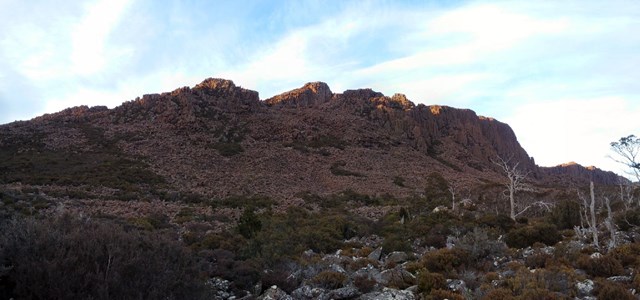
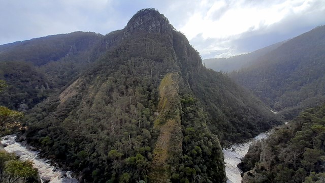
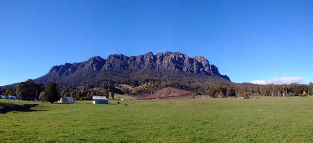
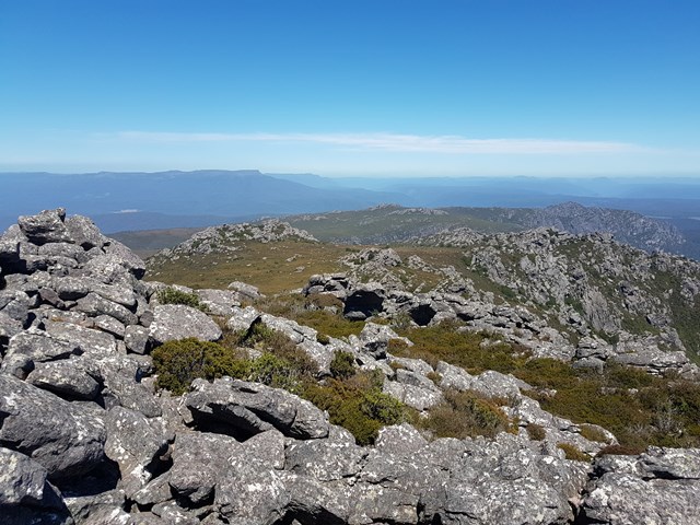
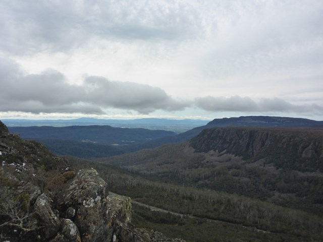
Mt Roland
Located near Sheffield, on the edge of the Great Western Tiers region of Tasmania. Looks quite ominous as you approach from Sheffield with its many sheer cliffs. A good day walk that is easy to follow, with a large portion of the walk done across the plateau along to the summit. The path has branches off to the other mountains near by (Mt Van Dyke, Mt Claude), but the Mt Roland track is much better maintained.
 8.5
km
return
2
hrs
8.5
km
return
2
hrs
Projection Bluff
Short steep rough track ( little track to speak of really ) that will give you great views from the Lake Hwy about 30km (approx ) from Deloriane
 6
km
return
4
hrs
6
km
return
4
hrs
Quamby Bluff
The walk starts in farmland, then passes through vegetation ranging from eucalypt forest to rainforest before finally ending up in open high altitude scrub. This involves scrambling over boulders again but it's not really that steep.Track can be at times tricky to follow so take note of pink ribbons and red markers ( yellow markers on descend )
 9
km
return
4
hrs
9
km
return
4
hrs
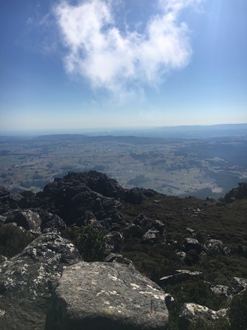
Saint Valentines Peak
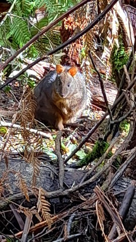
A nice walk preferably on a good weather day. The wind was blowing pretty hard on the summit the day I climbed. Well worth the views. Saw an echidna at the summit. The peak is approx 1100 meters and it stands alone so the views are very nice.