
Gheerulla Valley Circuit
Mapleton National Park


Menu
GPS Tracks


A pleasant day walk in the spectacular Gheerulla Valley including some steep sections from the river up and some great lookouts at the top.

Getting there
Drive about 5 km out of Mapleton along Delicia Road. Park at a dip in the road where you see a sign on the right to Gheerulla Falls.
Map
https://parks.des.qld.gov.au/__data/assets/pdf_file/0029/165890/mapleton-web-map.pdf
Route/Trail notes
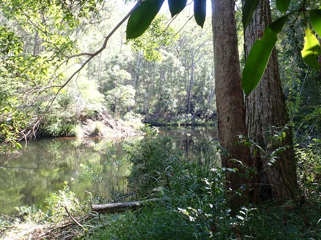
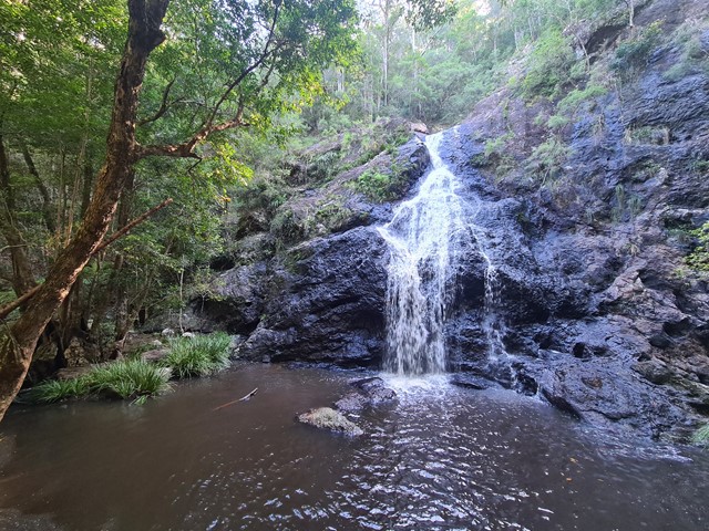
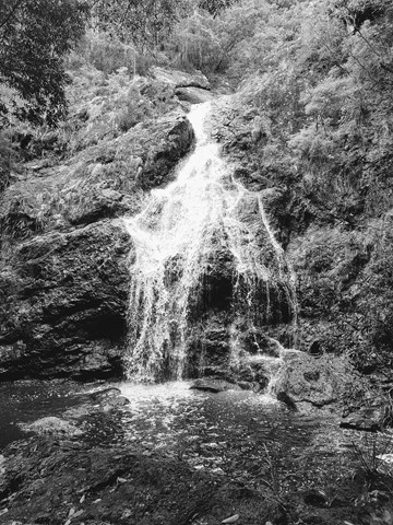
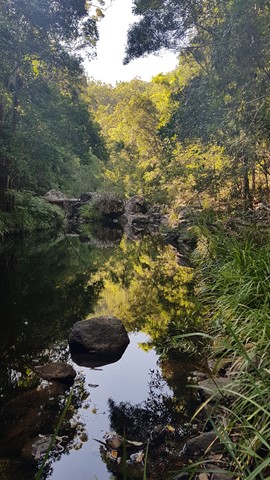
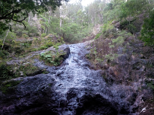
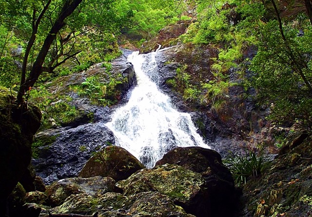
Walk through the gates and follow the track signposted to Gheerulla Falls, which veers left and heads downhill. About 1 km along is a side turning to Gheerulla Falls, which is worth stopping for especially if there has been rain recently (but be careful on wet rocks). Continue downhill, crossing the creek 5 times at various points. Some crossings have rocks and logs to help, others require you to wade and rock-hop and may be impassable after heavy rain.
Follow the creek down the valley as the terrain becomes dryer and the bush changes to eucalypt forest. About 1hr 40m from the start you come to a junction with a sign on the left to Thilba Thaba walker's camp.
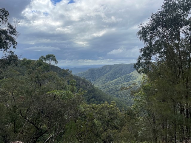
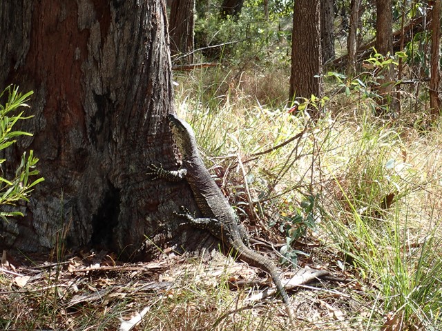
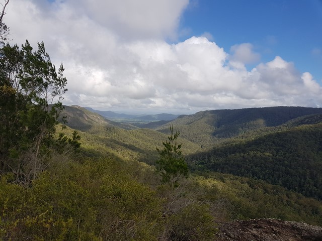
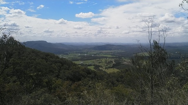
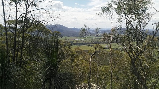
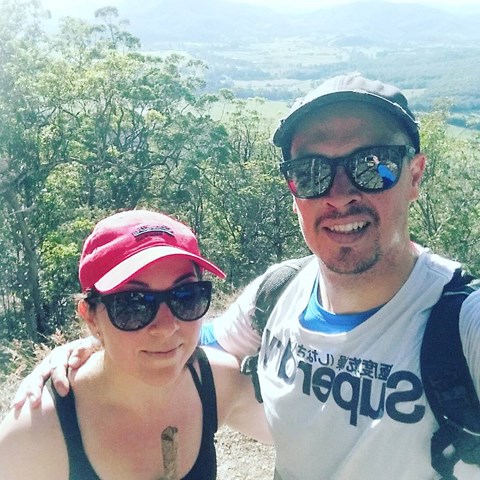
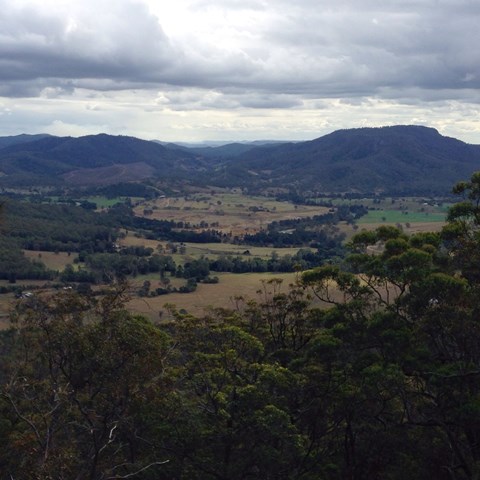
Follow this track, which leads through groves of grass trees, some of which have grown to huge sizes. Cicadas are noisy here in summer. The walk leads uphill, gradually becoming steeper but with views to the northwest to keep you going. It's a 300m vertical climb to the top, which typically takes about 50 minutes, but allow longer in hot conditions.
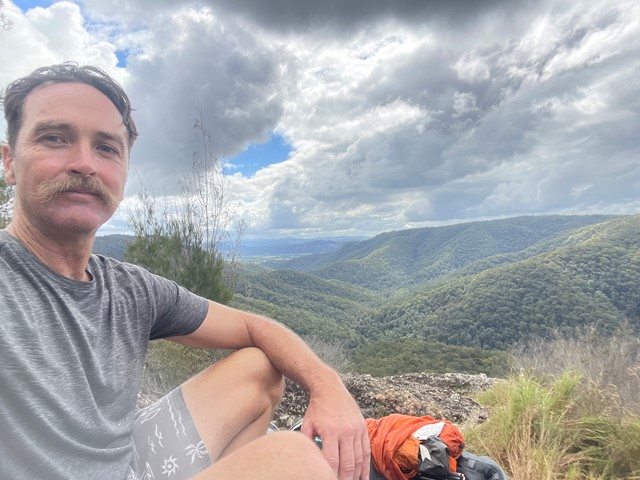
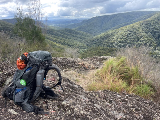
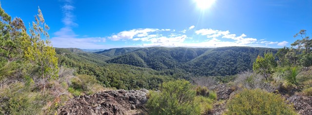
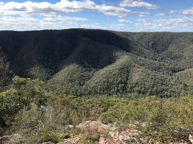
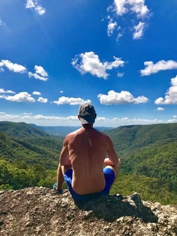
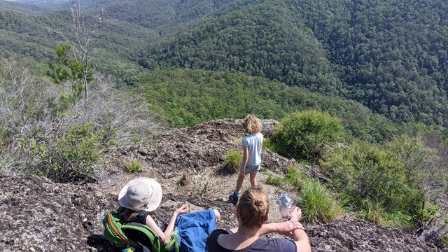
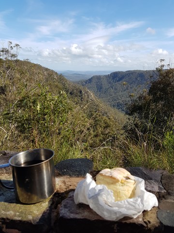
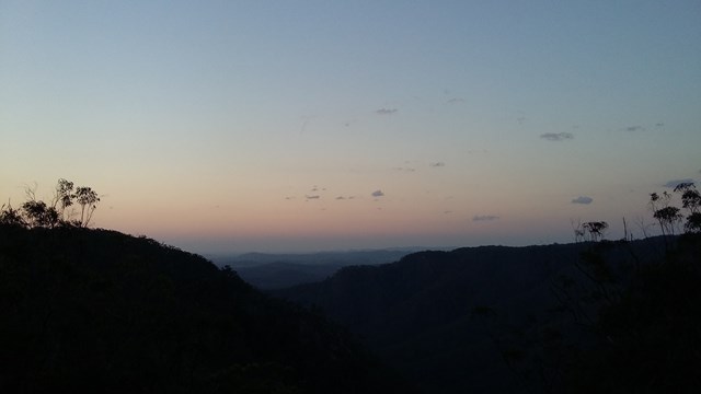
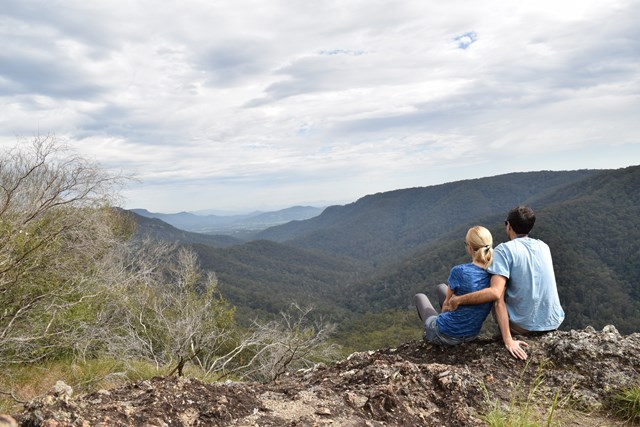
At the top, follow the track to Thilba Thalba campsite. This is usually deserted but is is a good point to stop for lunch or a snack. There is a composting toilet, picnic tables and a lookout point up and down the Gheerulla valley. There is no water available, so bring your own.
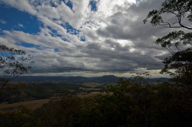
At this point there is a choice of return routes.Either follow the track through the forest back towards Gheerulla Falls, or walk a few hundred metres to Delicia Road and follow the road back to your car. Although this is a road walk it's actually very pleasant, with good views over the hills to the southwest, and minimal traffic. The road follows the edge of the forest and then drops sharply for the last 1 km to the starting point.
You can do the walk in the reverse direction, but this involves a long climb out of the valley at the end, which can seem never-ending. I also recommend an early start in summer.
Permits/Costs
No costs for walking.
Bookings required and camping fees must be paid if staying at Thilba Thalba Walkers Camp - https://parks.des.qld.gov.au/parks/great-walks-sunshine-coast/camping/thilba-thalba-walkers.
Other References
This route is part of the Sunshine Coast Hinterland 'Great Walk'. A topographic map of the entire walk is available from various outlets - see the EPA website for more details.
 Gheerulla Circuit (GPX)
 22
22 6
6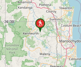
Comments