


 Up Palm Gorge and down SE Ridge (GPX)
 6
6 3
3- Mt Greville: Waterfall Gorge/Palm Gorge circuit (Moogerah Peaks National Park)
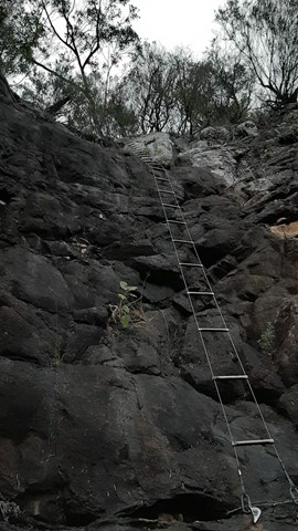
- Mt Greville via Razor back ridge, waterfall Gorge, Bare rock, the ladder, the peak (Moogerah Peaks National Park)
- Mt Greville waterfall gorge, Northern face (Moogerah Peaks National Park)
- Mount Moon (South East Queensland)
- Pioneers Graves (Main Range National Park)
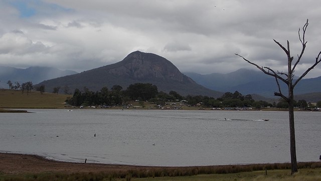
Mt Greville
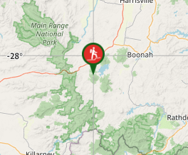
Moogerah Peaks National Park
Menu
GPS Tracks


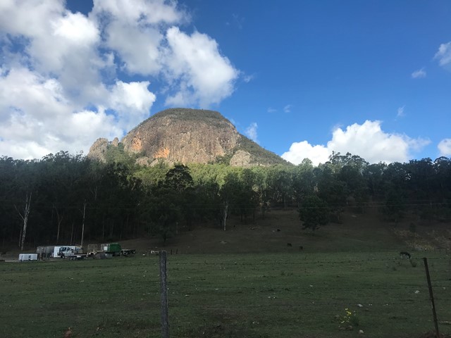

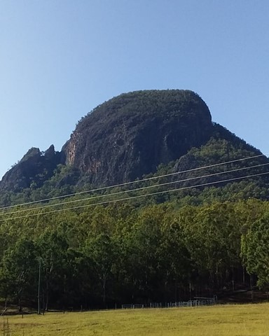

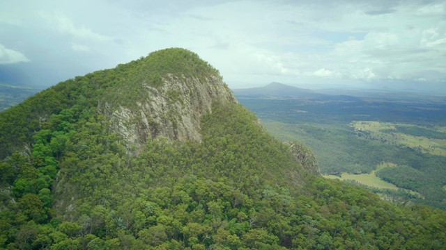


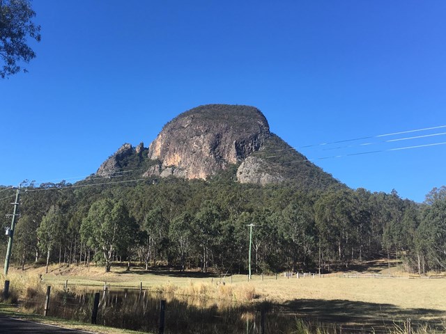

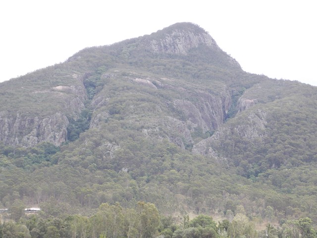
A walk up to the top of Mt Greville circa 770m. Up the waterfall gorge, then visit viewing platform rock slab near top of waterfall gorge. Alternatively, ascend via SE Ridge. Continue to summit then return via Palm Gorge.
Waterfalls
Lookouts
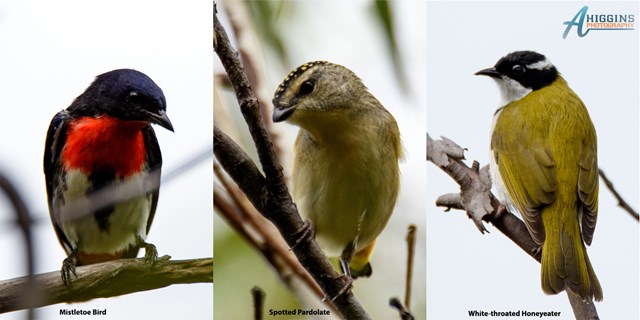
Bird Watching
Scrambling or Climbing
Navigation Required
No Dogs Permitted
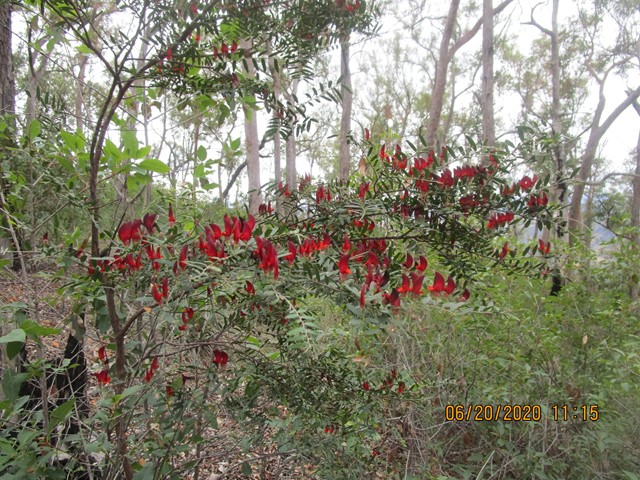
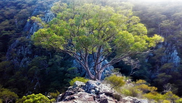
Eucalypt Forest
767m
Maximum Elevation
610m
Total Climb
Getting there
From Aratula drive towards Cunningham's Gap and turn off at the Spicers Gap Rd. Follow this road for about 8 km( it does become dirt for a while) then turn into Mt Greville Rd find the start after about 800m driving or so along Mt Greville Rd.
Maps
Sun maps Mt Edwards
Route/Trail notes
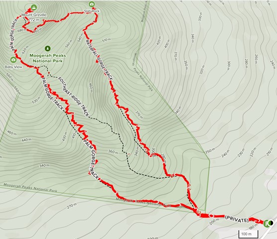
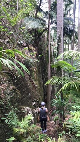
From the gate walk uphill to the sign posts about 400m, there are three alternatives Waterfall Gorge, South East Ridge and Palm Gorge. This walk goes up SE Ridge and comes down Palm Gorge.
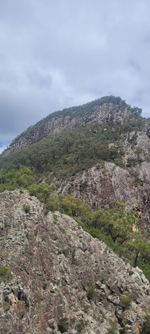
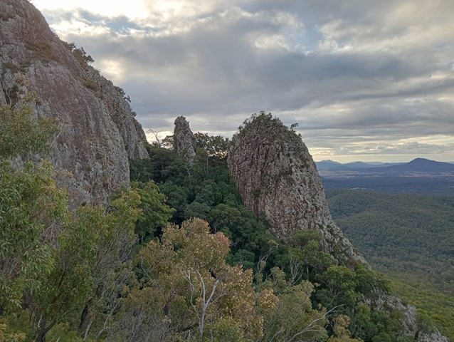
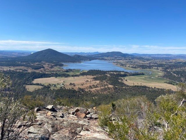
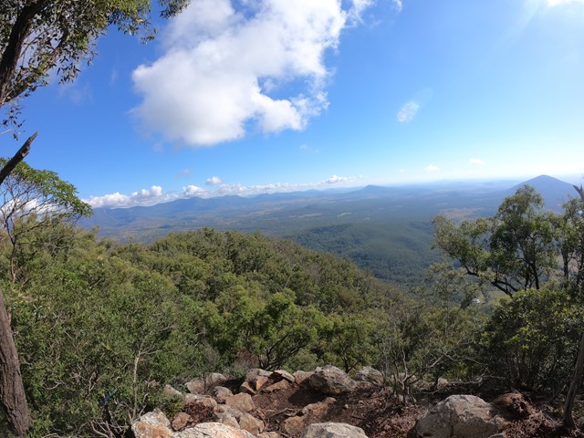
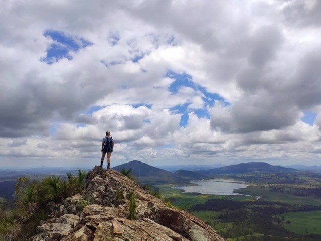
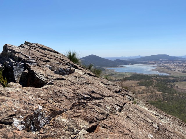
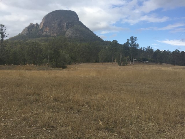
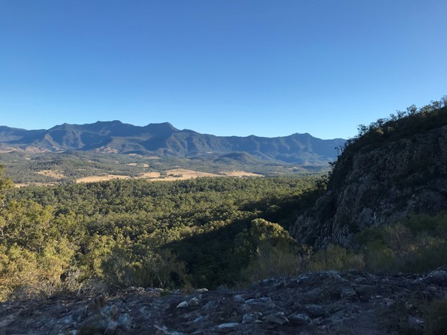
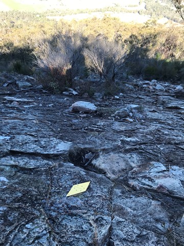
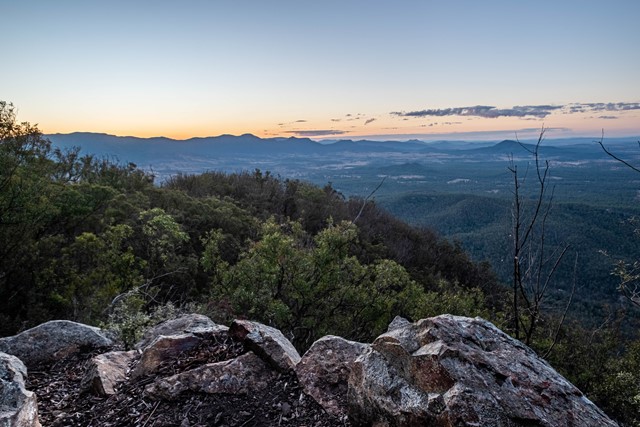
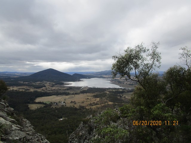
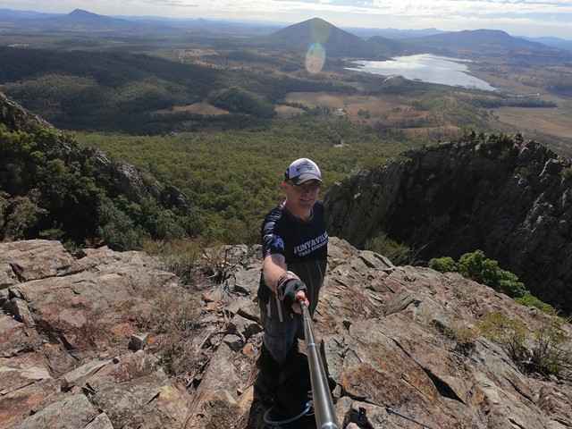
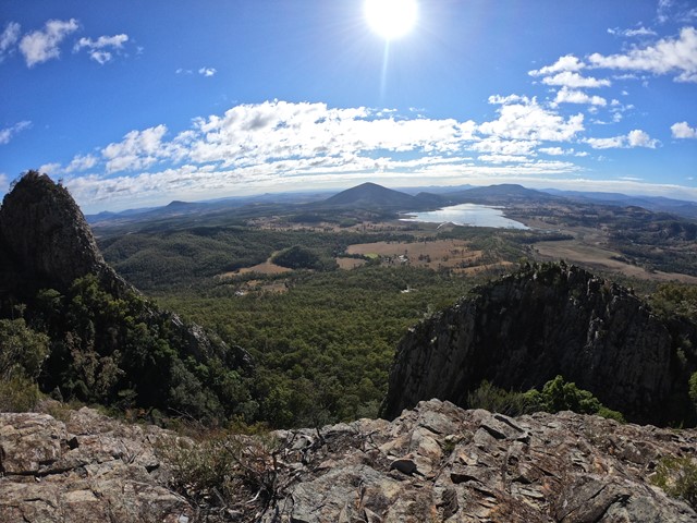
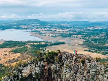
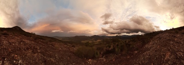
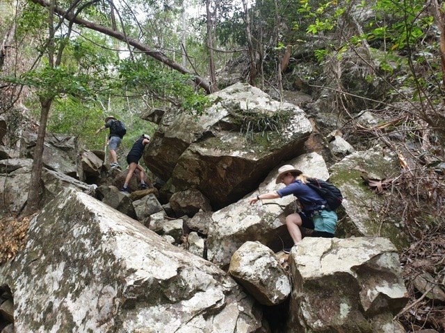
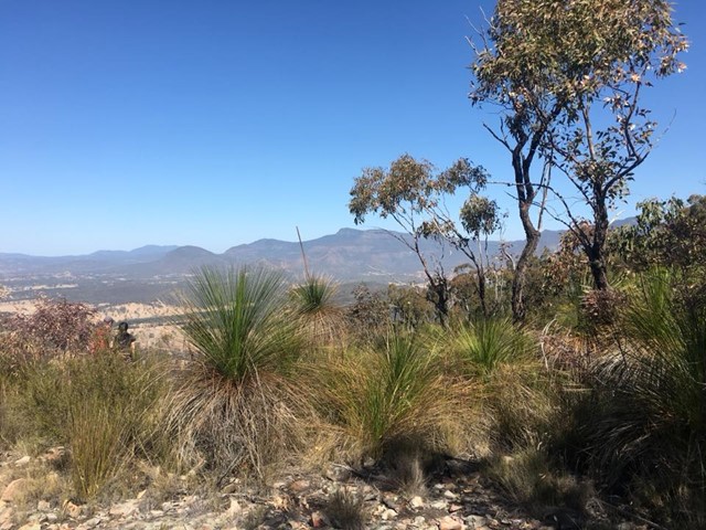
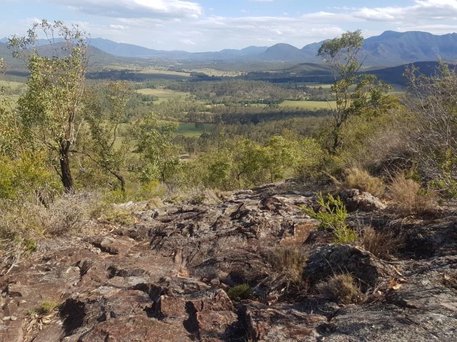
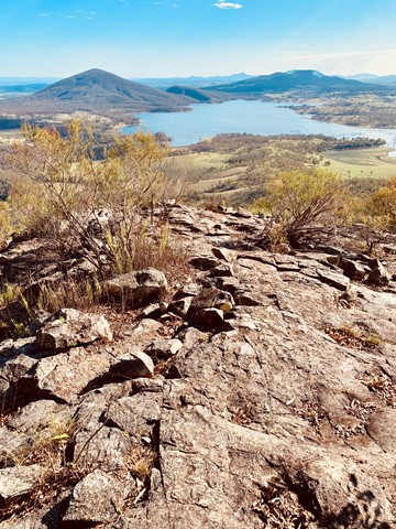
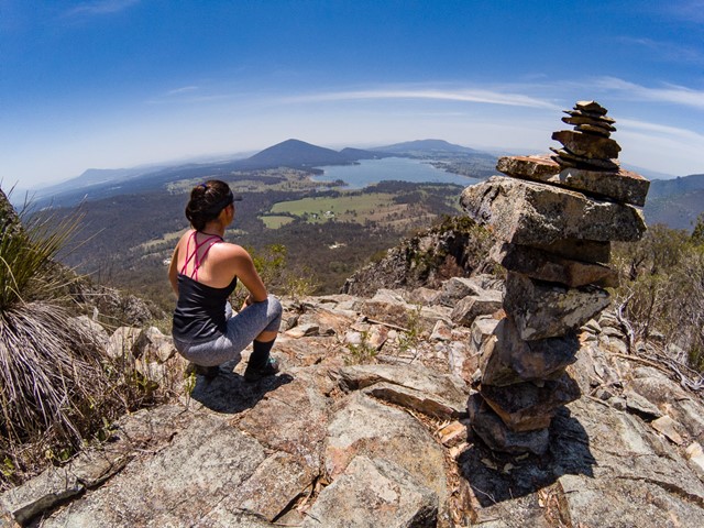
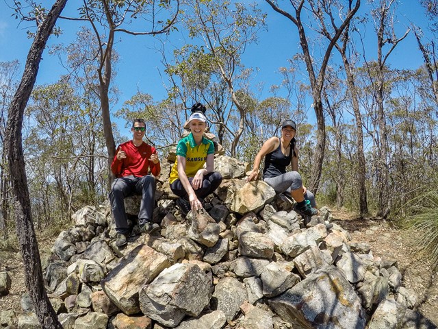
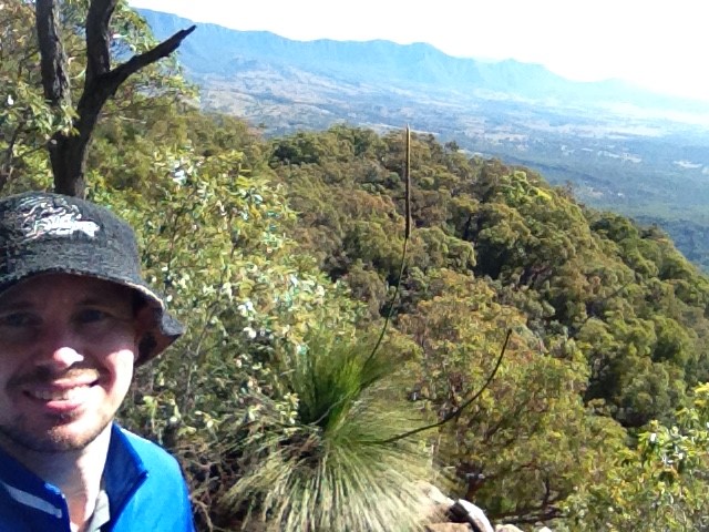
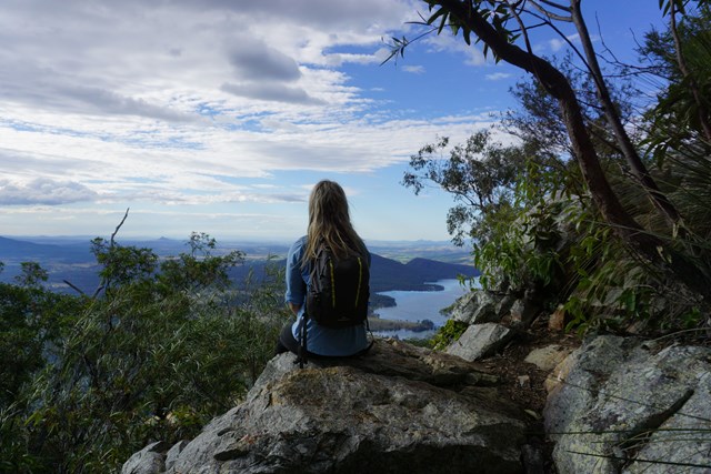
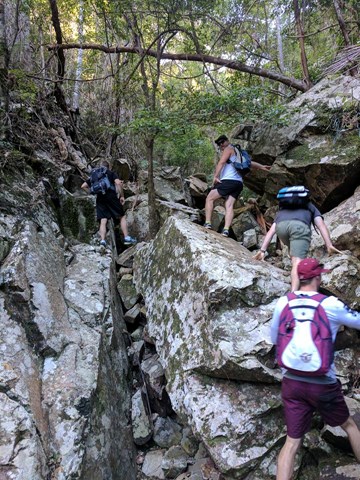
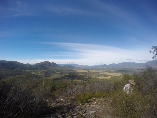
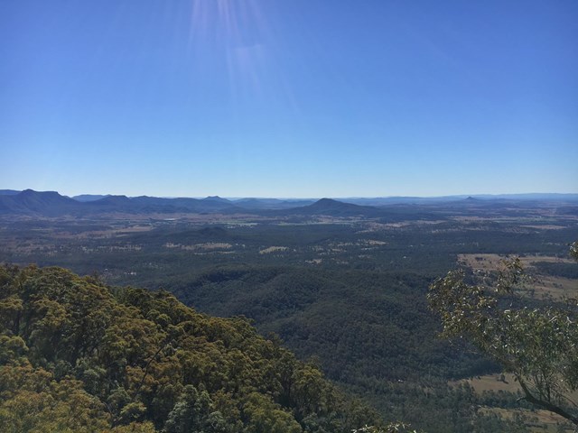
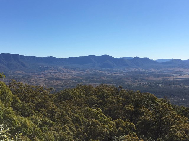
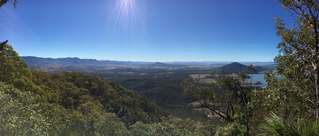
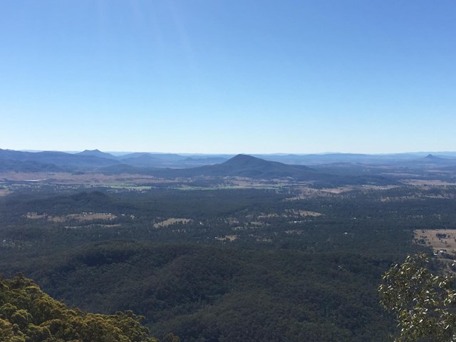
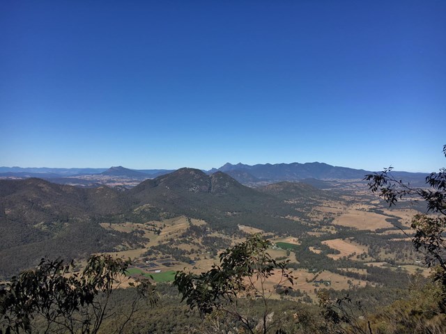
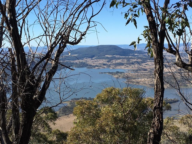
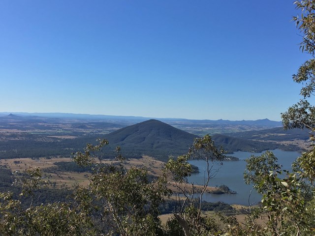
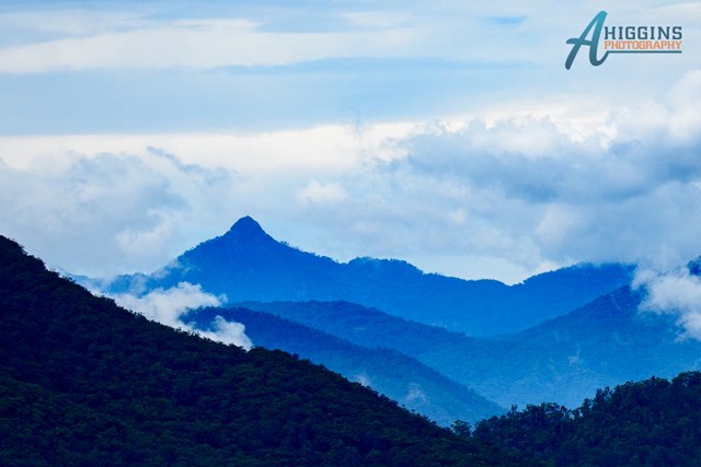
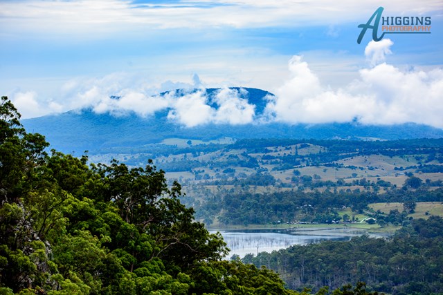
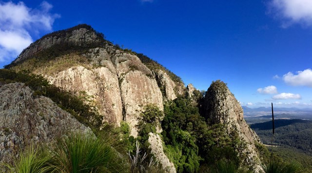
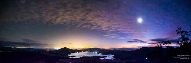
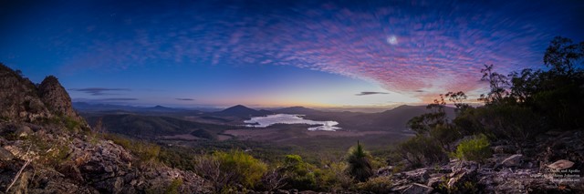
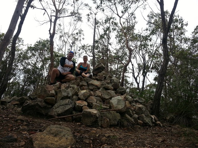
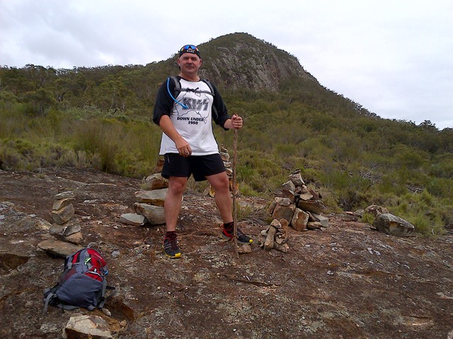
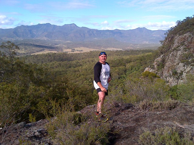
Follow the rough track up SE ridge lots of scree at the bottom and a few cairns on the way up. There are some rocky slabs to scramble on and through and if you lose the rough trail then keep heading up through the grass trees. Eventually you will come to a second wide rocky slab with great views of the southern Fassifern valley and the southern Mountains of the Main Range, Mt Ballow, Mt Barney, Mt Edwards, Mt Moon, Mt Maroon and Moogerah Dam. There is a lower rocky slab with the same view. Keep tracking up to the left through the Grass Trees till you enter forest again near another cairn note a well trevelled footpath that descends into Palm Gorge, it is about 30m up from the cairn for easier access. Keep following the trail up hill to the summit where there are good views to the North and views of the Ramparts of The Main Range and Mistake and Little Liverpoool Mountains.
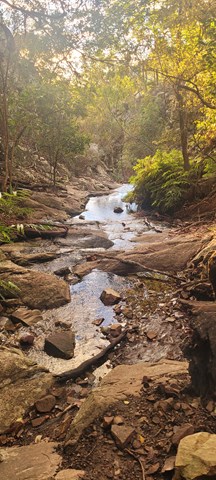
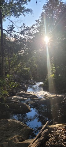
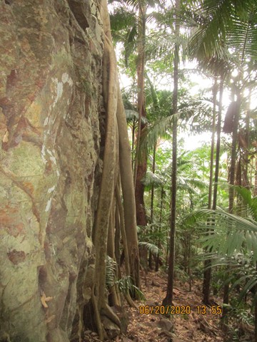
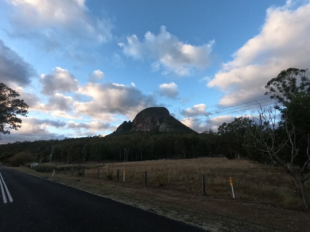
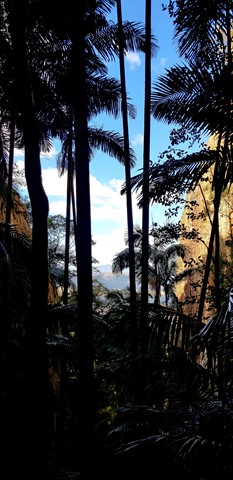
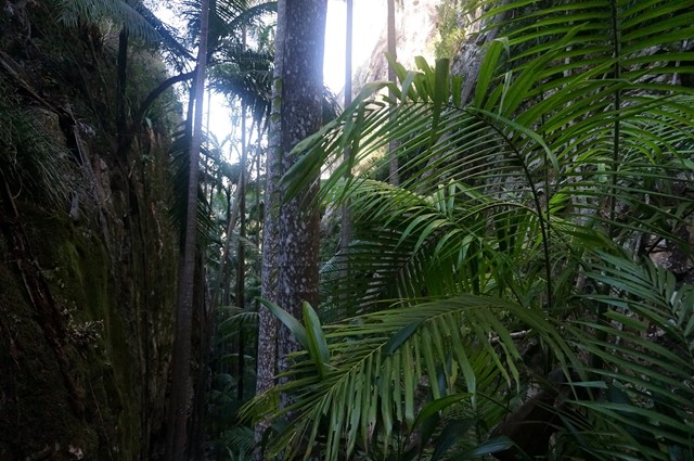
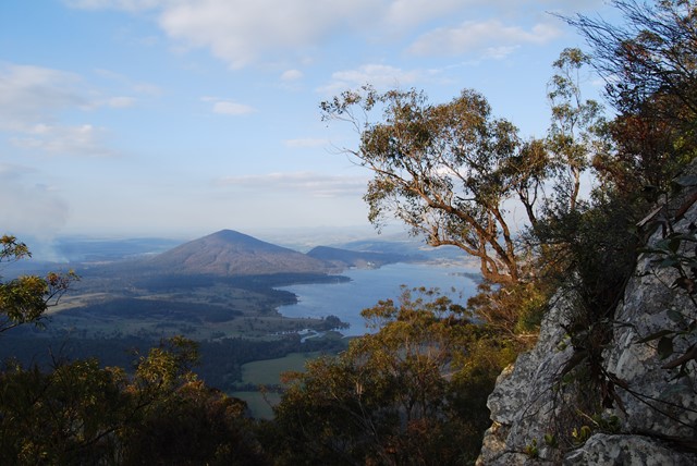
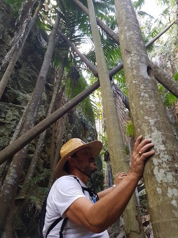
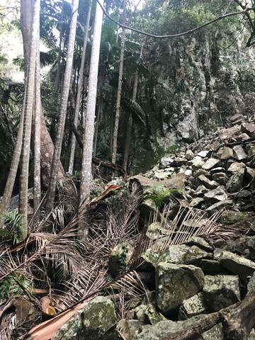
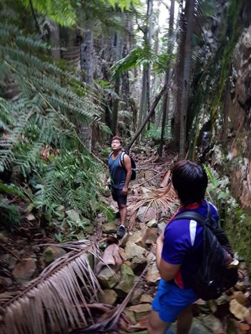
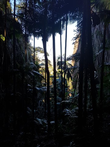
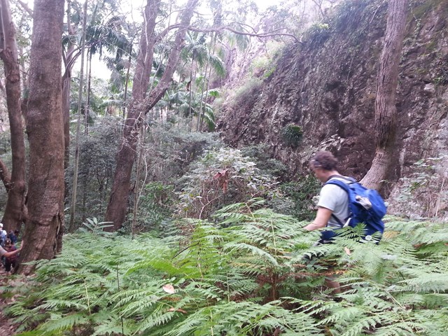
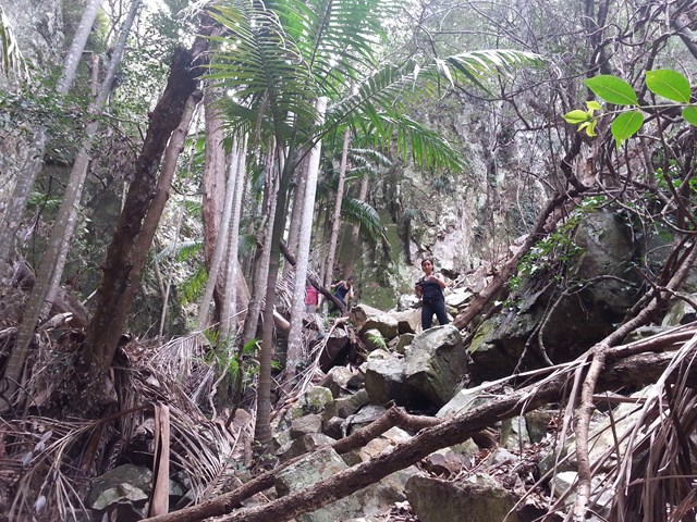
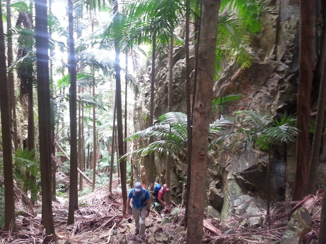
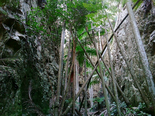
On the Descent look for a rough trail that heads up hill about 10 min from the summit. it leads to the head of a steep rocky Gorge that has a stunning view of Spicers Peak framed in its middle. About 10 min again from here locate the cairn and footpad that descends into Palm Gorge. Just keep following this down and take your time. There are loose rocks and slippery palm fronds on the ground but is well worth it. Pictures are necessary just to prove how beautiful this place is. Follow the rough footpad all the way back to the signposts and turn downhill to the carpark.
Altenate walks can include going up Waterfall Gorge and Traversing to the start of Palm Gorge across the Rock slab very enjoyable after summitting!
Permits/Costs
There is no camping in the Park.
Other References
Take A walk in the Sout East Queensland ; Chapman.
Where
Click here to load this map.
Comments