
Menu
Popular Walks
-
Kondalilla Falls Circuit
(503 ticks) -
Baxter Falls - Southern Approach
(104 ticks) -
Baroon Pocket to Kondalilla Falls (return)
(86 ticks) -
Picnic Creek Circuit
(74 ticks) -
Baroon Lookout
(63 ticks)
Parent Regions
Popular Walks
-
Kondalilla Falls Circuit
(503 ticks) -
Baxter Falls - Southern Approach
(104 ticks) -
Baroon Pocket to Kondalilla Falls (return)
(86 ticks) -
Picnic Creek Circuit
(74 ticks) -
Baroon Lookout
(63 ticks)
Parent Regions
History
Any interesting history for the region?
Features
What are the standout bushwalking features?
Access
How do you get there? Include all access points if there are many?
Maps
Which maps cover the region?
Accommodation
Where can I stay there? or near there?
Camping
Other
Contact details
https://parks.des.qld.gov.au/parks/kondalila/about.html
Walks in Kondalilla National Park

 4.9
km
return
4.9
km
return
 2
hrs
2
hrs
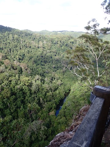
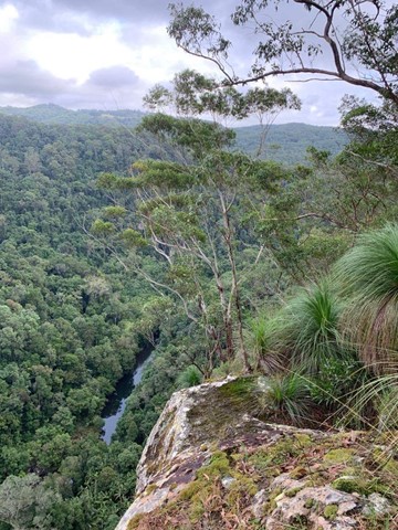
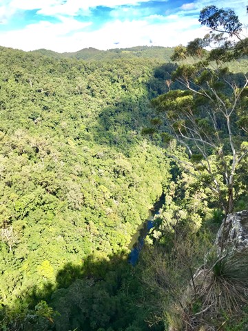
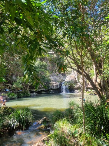
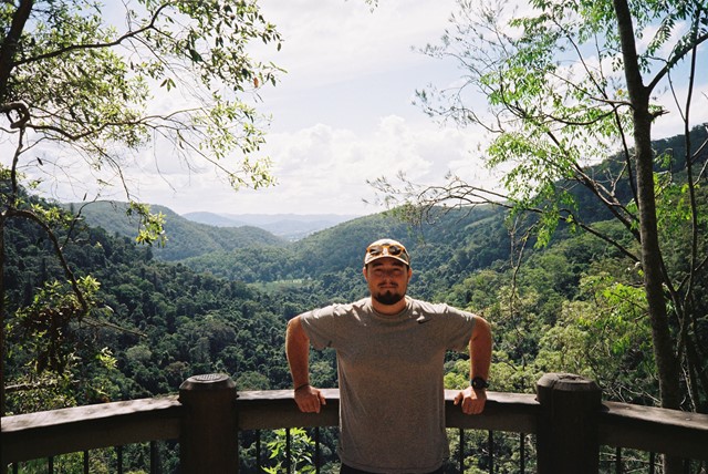
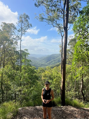
Baroon Lookout
A great family walk up the side of the gorge to the lookout out across Obi Obi Creek as it heads north from the Baroon Dam and into the Blackall Range to join the Mary River.
 20
km
5
hrs
20
km
5
hrs
Baroon Pocket to Kondalilla Falls (return)
A stroll through the Southeast Queensland rainforest, with spectacular views down Obi Obi Creek.
 3.3
km
one-way
90
mins
3.3
km
one-way
90
mins
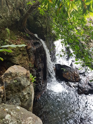
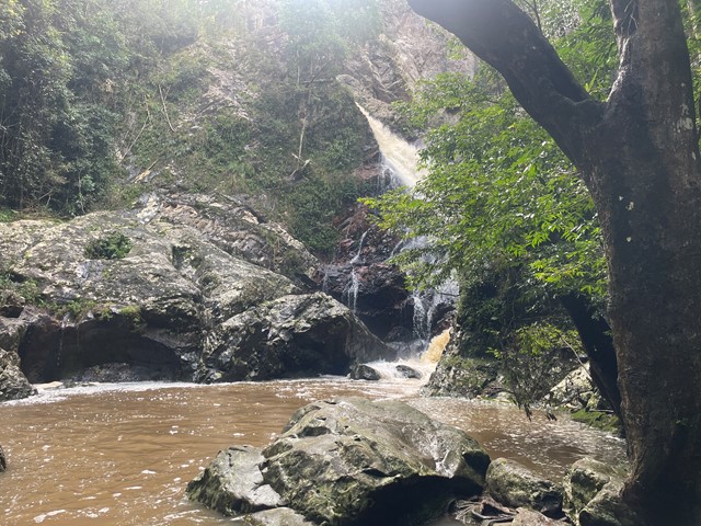
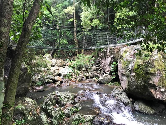
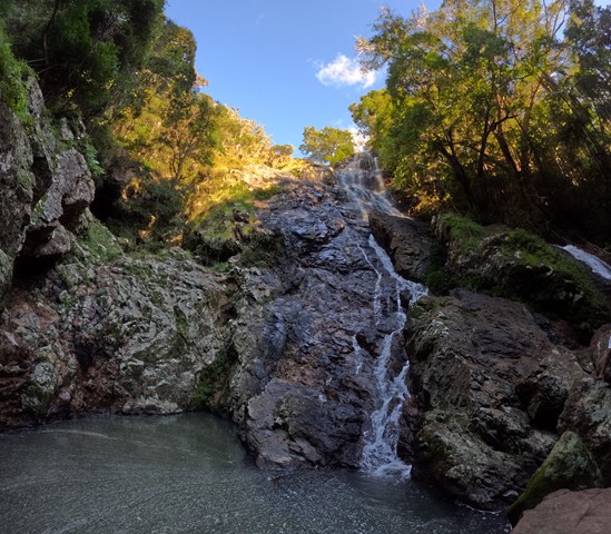
Baxter Falls - Northern Approach
This walk leads through open eucalypt forest, dropping almost 300m down to the suspension bridge across Baxter Creek and the Falls to your left. The water falls into a 'bowl', before cascading into the bottom of the creek. Access to the 'bowl' is thought to be by bush bash to the left, but was not tracked.
 7.6
km
return
3
hrs
7.6
km
return
3
hrs
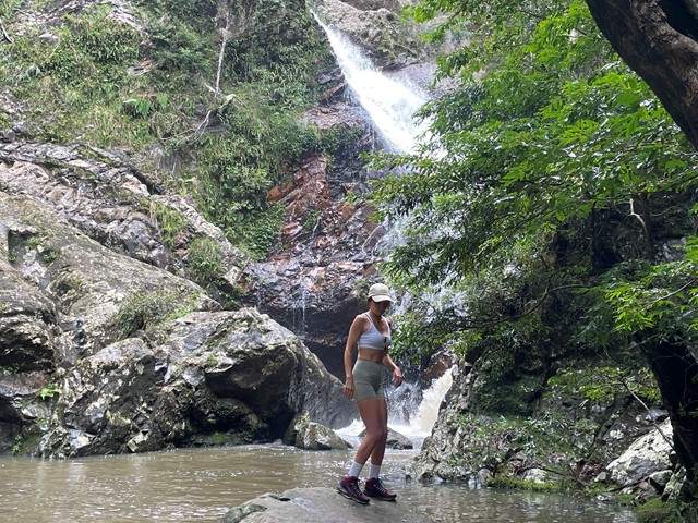
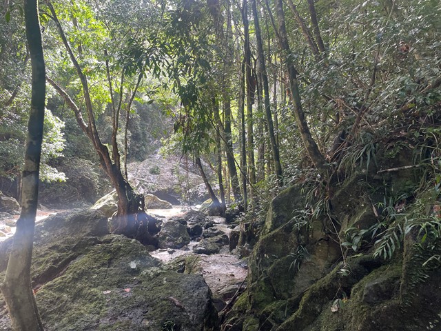
Baxter Falls - Southern Approach
This walk leads through open eucalypt forest, past rocky outcrops and down the side of the gorge to Baxter Creek with its suspension bridge and beautiful waterfall.
 20
km
20
km
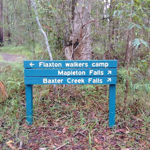
Great Sunshine Walk - Baroon Pocket Dam to Mapleton Falls
Great walk - half the great sunshine walk, enables you to do half one weekend and the other half later. Start at Baroon Pocket Dam, camp at flaxton camp and then finish in Mapleton Falls.
 4.7
km
2
hrs
4.7
km
2
hrs
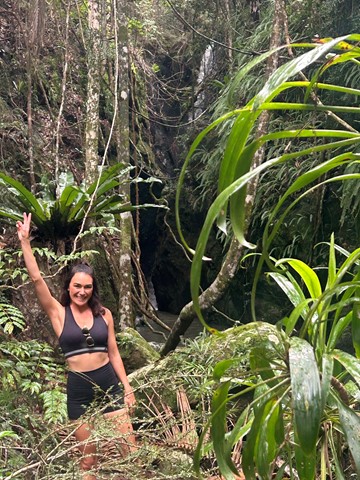
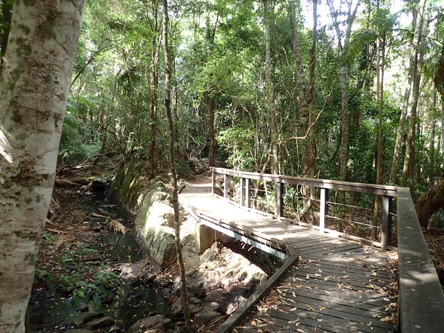
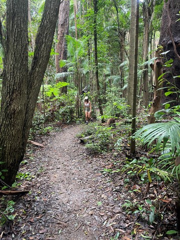
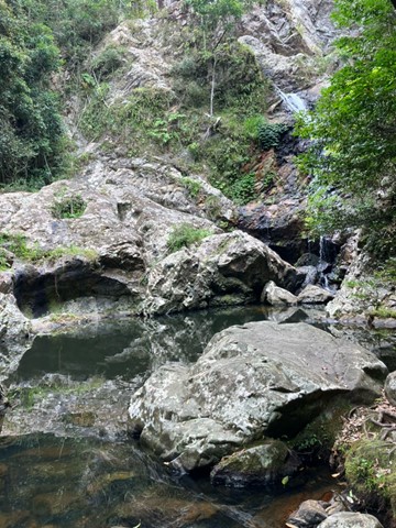
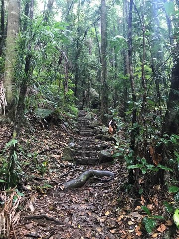
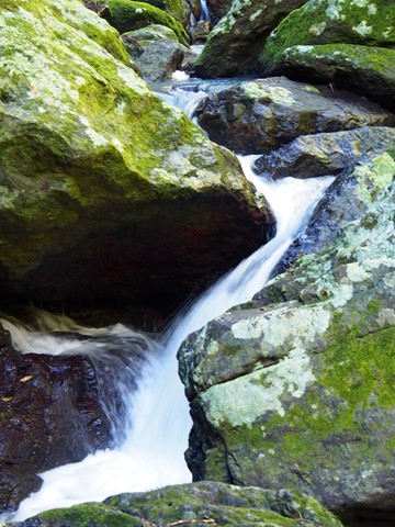
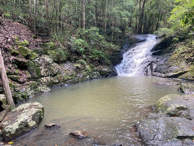
Kondalilla Falls Circuit
Kondalilla Falls (80m) is one of the most spectacular and accessible falls on the Sunshine Coast Hinterland. The walk down to the falls is 'family friendly' with some rock stairs and a maintained path. Great views of the rainforest valley from the natural rock pools at the top. You can swim in the rock pools at both the top and bottom of the falls.
 14
km
one-way
8.5
hrs
14
km
one-way
8.5
hrs
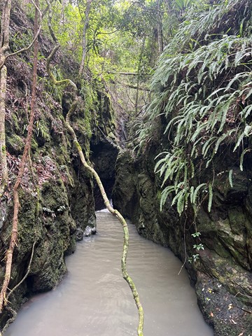
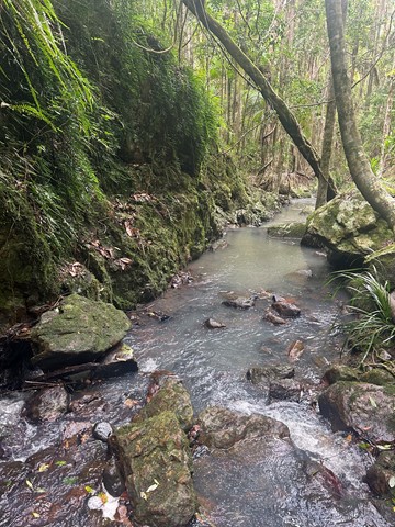
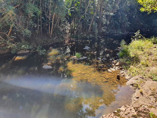
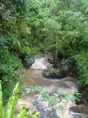
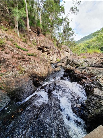
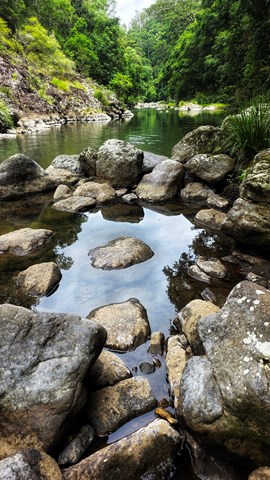
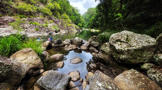
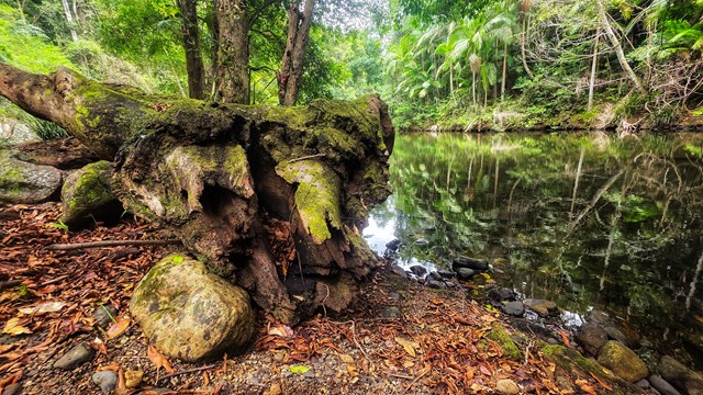
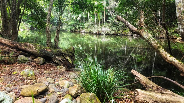
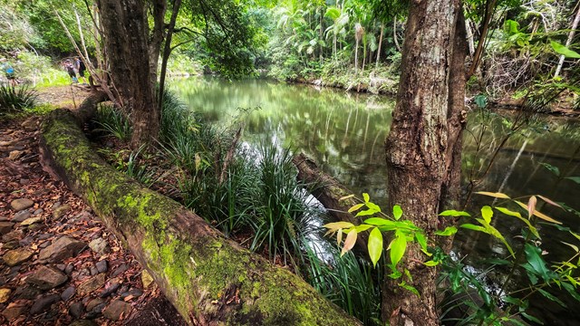
Obi Obi Gorge
Either a rock hop and swim down Skene Creek and Obi Obi Creek. Alternatively you can follow the Great Walk Path ( A lot easier but not as scenic).
 1.7
km
return
45
mins
1.7
km
return
45
mins
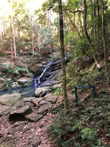
Picnic Creek Circuit
This easy walk crosses Picnic Creek, passes through tall eucalypt forest and patches of wet sclerophyll (a mix of eucalypt and rainforest species). Enjoy views over the valley from a lookout point.
 10
km
return
3
hrs
10
km
return
3
hrs
Schultz Track
This walk can be accessed via Schultz road, in Witta, and appears to be a 4x4 telegraph track (frequently crossing through a power line area). It includes wet and dry Schlerophyll forests, and is Ideal in spring when it isn't too cold. Also, don't go after heavy rain, as creek crossings may be flooded.
 58
km
4
days
58
km
4
days
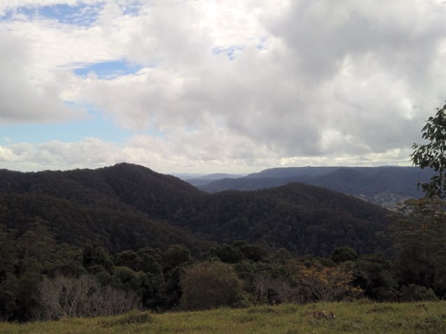
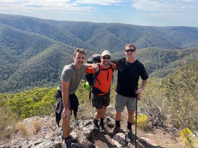
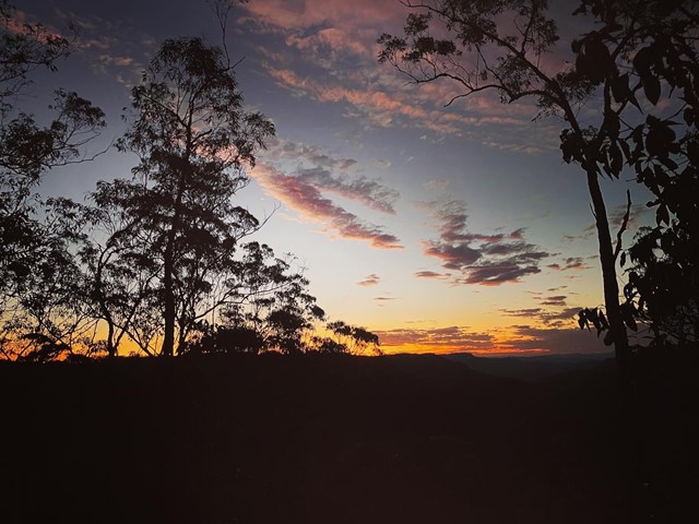
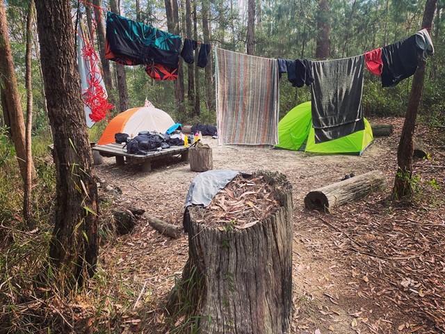
Sunshine Coast Hinterland Great Walk
Warm subtropical rainforest, tall open eucalypt forest and picturesque waterfalls in secluded areas of the Blackall Range feature on this 58 km four day walk, with bush campsites. Day visitors can access short half-day and full-day walks within the Great Walk route.