


 9
9 4
4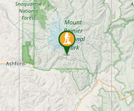
Aussie Bushwalking can keep track of your bushwalks.
Login/signup to tick this walk off.Skyline Loop
Mount Rainier National Park
Menu
Hike up the highest mountain in Washington state. Snow, glaciers, meadows, panoramas, marmots abound.
Getting there
Drive to the vistors' centre at Paradise, WA.
Maps
http://www.nps.gov/mora/planyourvisit/upload/Paradise%20Area%20Trails.pdf
Route/Trail notes
Leave the vistors' centre at 5400 feet, walk up mountain with views of Nisqually glacier. In August trail starts hitting snow around 6400 feet. Keep going up to Panorama Point (6800 feet) with breathtaking views of Washington and Oregon including Mount Adams, Mount St Helens, Mount Hood. Highest point on trail is 7100 feet. Start going down the mountain and enter alpine meadows full of flowers with waterfalls and streams from ice melt. Look out for marmots.
Permits/Costs
May be an entrance fee to enter the park.
Other References
How can I find more info? Any guide books?
GPS Tracks
- No GPS available for this walk yet.
Comments