
Hannel's Spur
Kosciuszko National Park


Menu
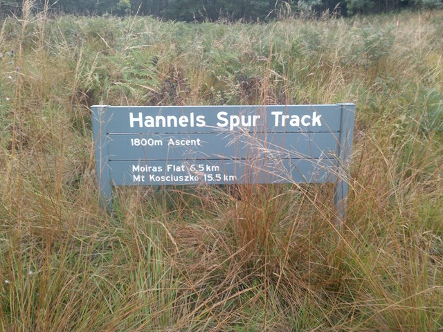
At 1800metres it is the greatest vertical ascent in Australia. It is the same route that Strzelecki took as the first European to climb Kosciusko in 1840. A very tough but rewarding classic route.

Getting there
From Canberra follow the Monaro highway to Cooma from Cooma travel to Jindabyne and then follow the Alpine Way to Thredbo.
From Melbourne follow the Hume Highway to Wodonda then turn east and follow the Murray Valley Highway to Corryong then on to Khancoban and finally the Geehi Rest Area. About 5.5hours drive time Melbourne-Geehi.
Maps
CMA map Kosciuosko
Youngal 8525-3-S 1:25,000, Chimneys ridge
SV Maps Kosciuszko Alpine Area 1:50,000
Route/Trail notes
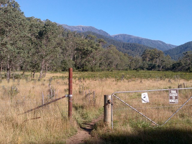
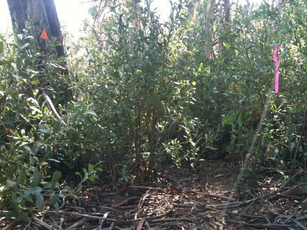
The walk started from the carpark below Dead Horse Gap early! Follow the signs up the 4km walk to the main tracl leading to Mt Kosciousko. The metalled wlakway is about 6.5km to the turn off for the main range track. follow this track for about 2km to the wflats of wilkinson vally follow a rough path along the wilkinson creek and cross over after about 500m. A faint trail leads up and down and up, on a wide swing around Abott's Peak, after the turn there is a rocky out crop before Byatts camp.
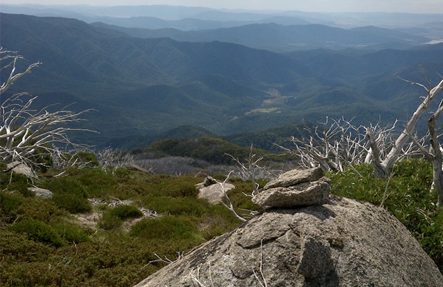
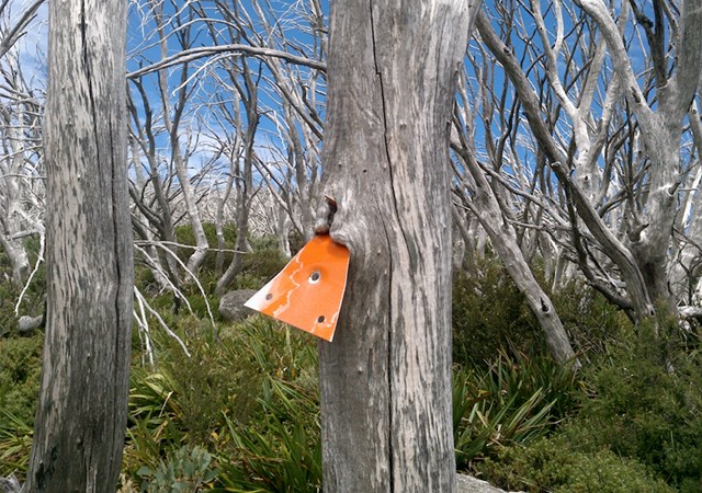
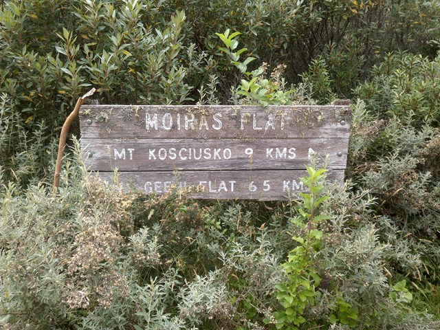
After this camp the plunge begins down, there are rock cairns and trail markers evry so often to guide you and the path is viisible. after about a good hour I reached moira's Flat where I dumped my camping equipment for my sleep that night and refilled my water bottle. There is only one real navigation difficulty which is at 960m app. the route crosses a creek head and heads west and up false trails lead down! Down means STEEP ONCE YOU GET INTO THE GRANITE SECTION and the last kilometre or so down is steep before the sign that states the beginning of the Hannel's spur. This is where I turned around and started back up the trail to Moira's flat. (There maybe some confusion on the walk out from the sign.)
The next day i retraced my steps from Moira's flat via Kosciuoskos summit to Dead Horse Gap car park.
Permits/Costs
A permit was needed to enter the National Park $16.60 per day per car was the cost in summer in winter it was more expensive.
Other References
Snowy mountains Walks. Geehi bushwalking Club.
GPS Tracks
- No GPS available for this walk yet.
 30
30 2
2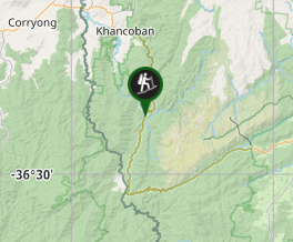
Comments