
Wilson's Peak - Eastern Approach
Main Range National Park


Menu
GPS Tracks


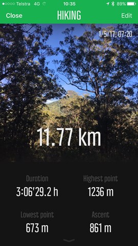

The eastern approach to Wilsons Peak, following the Qld/NSW rabbit fence to a mountain that straddles the border, with some really steep sections.

Getting there
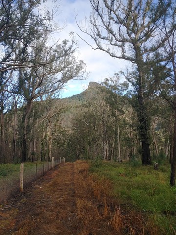
From the Boonah-Rathdowney road, turn onto Carney's Creek Road. Follow it all the way to the where Hardcastles Rd joins from the right (just before the main road turns a sharp left and follows the border to the border gate - if you reach the Boonah Border gate and cross into NSW, backtrack by about half a kilometre). Drive in about 30m and you'll find a small parking area. From there it is a very short walk to the fence, where you should turn right (west).
Maps
QTopo
All Trails clearly shows the route.
Route/Trail notes
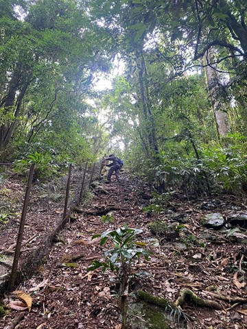
The navigation of the route is relatively simple. Start walking west with the rabbit fence on your left. The first few kilometres undulate, sometimes rather steeply, along the fence maintenance track. You eventually start getting views of Wilson's Peak (showing you what you're in for) about 3km in, before the track leads into thicker rainforest about 4km in.
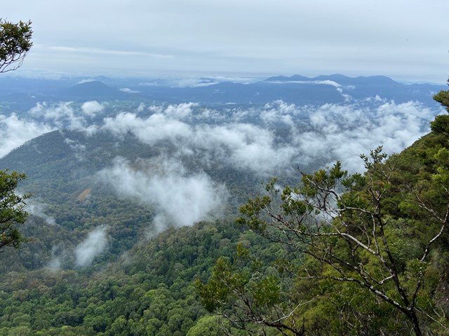
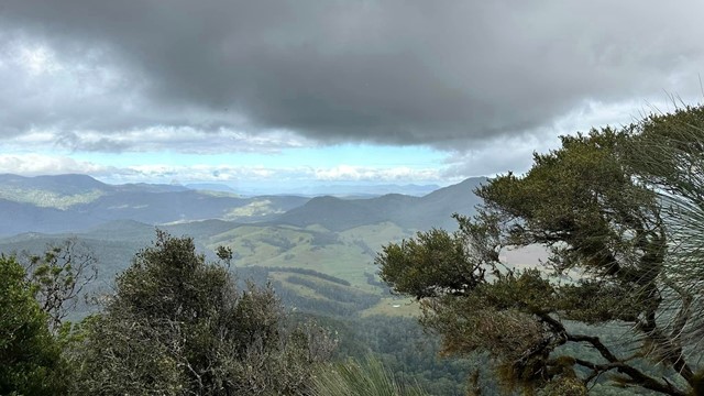
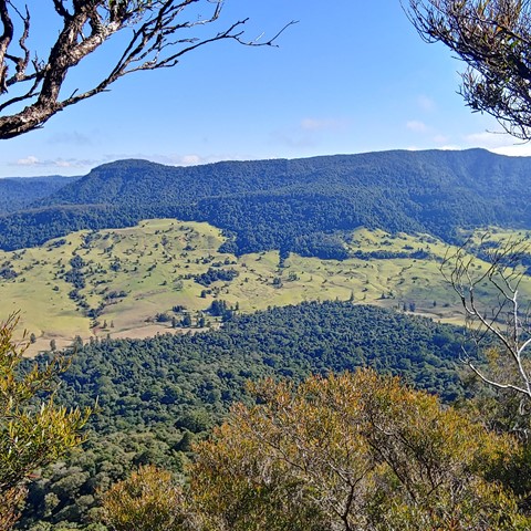
Once the track reaches the rainforest, it becomes much steeper. Gardening gloves are handy to help drag yourself up. The fence is older here and isn't topped with barbed wire. Eventually, after a bit over 5km, the fence finishes at a spectacular cliff. Turn right and follow a fairly clear, narrow footpad along the base of the cliffs, past some shallow caves.
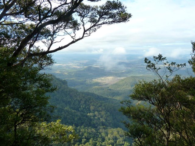
Keep an eye out on your left for a cleft in the cliff, at a point where the path you've been following seems to start to descend (this is, in fact, where the path coming in from the west (Teviot Gap) joins). Then it's a climb up onto the forested summit plateau (no exposure, but not necessarily easy). The lookout area is along a footpad about 20m from a survey marker and cairn.
Permits/Costs
None
Other References
"Take a Walk in South East Queensland"
 Wilsons Peak 03 September 2020 (GPX)
 12
12 5.5
5.5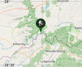
Comments