
Mt Mitchell
Main Range National Park


Menu
GPS Tracks
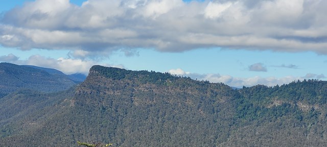
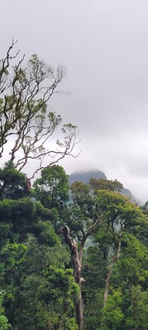
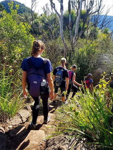
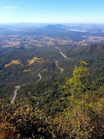
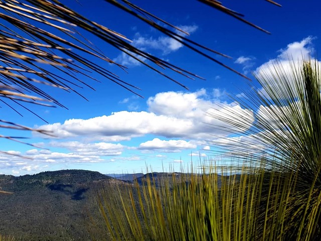
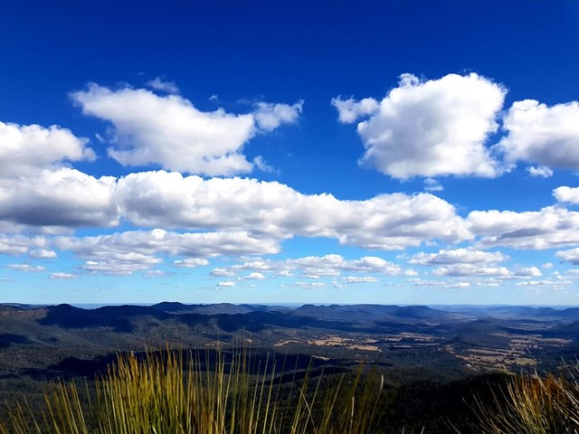
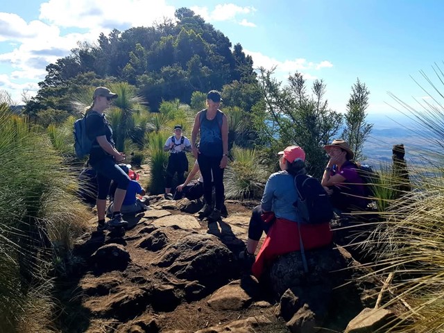
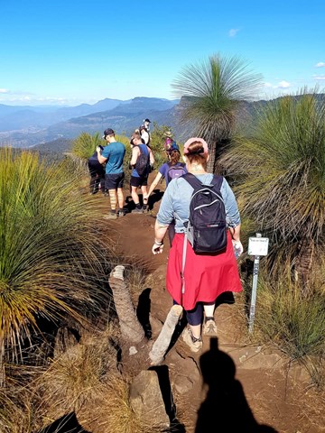
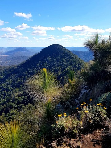
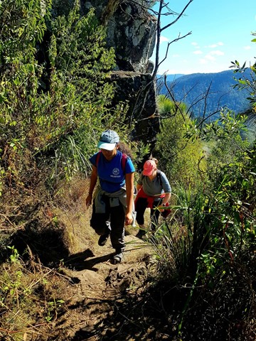
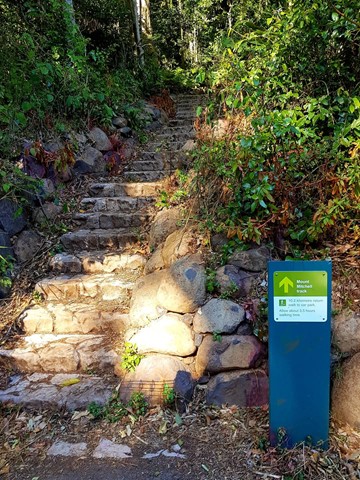
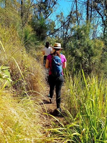

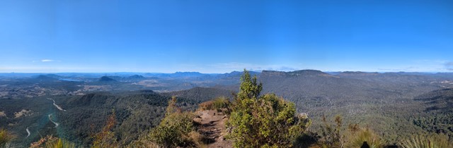
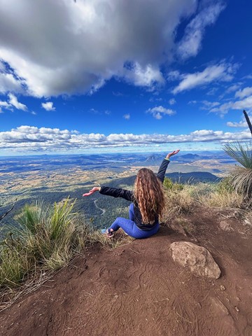
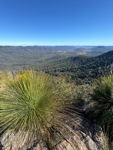
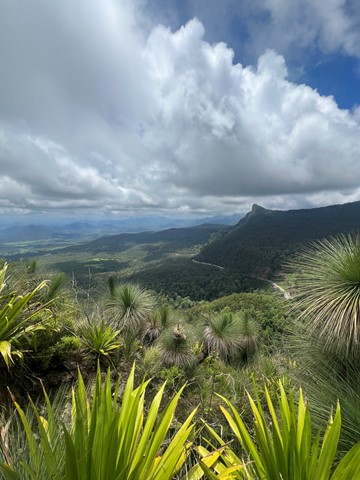
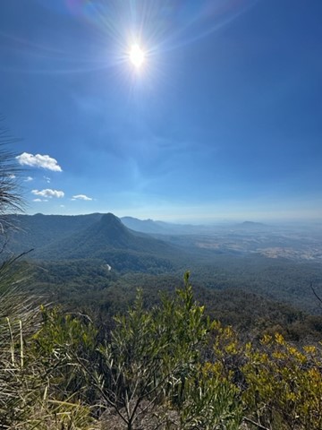
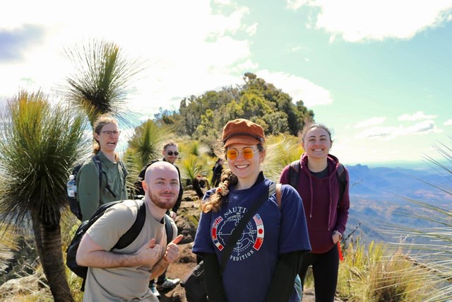

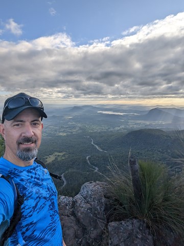
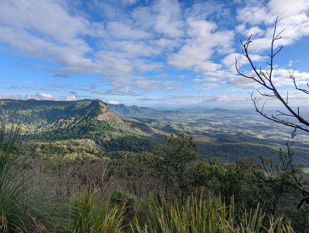
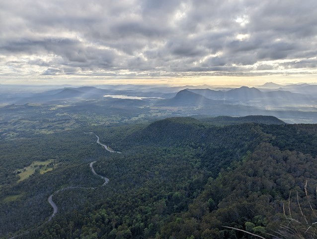

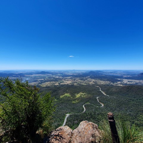
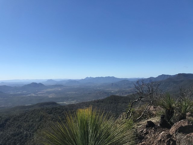
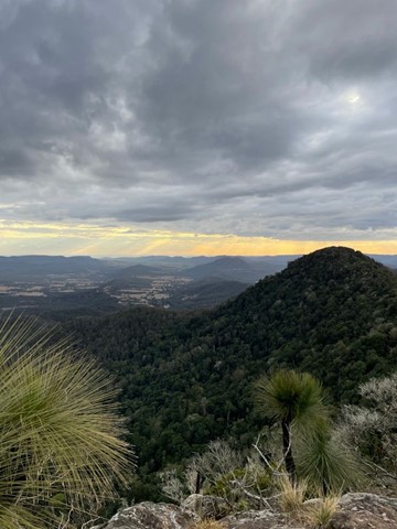
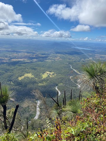
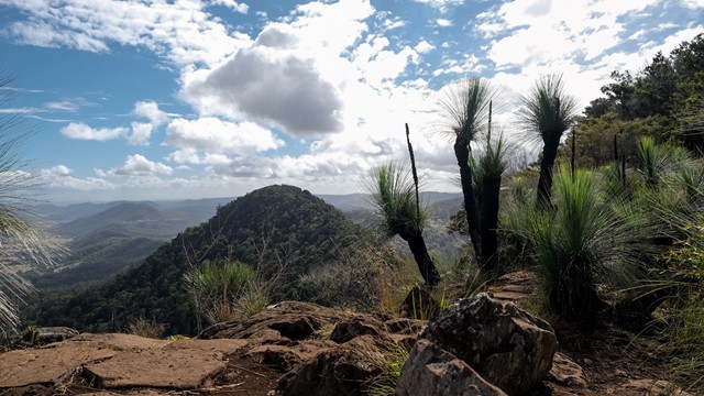
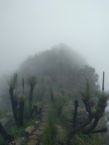
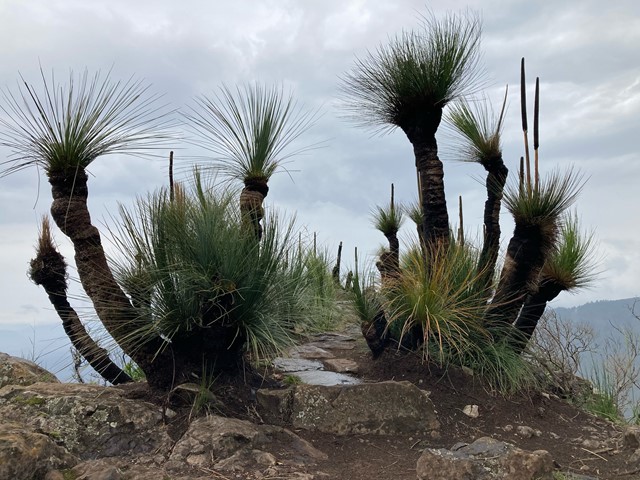
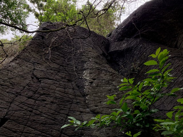
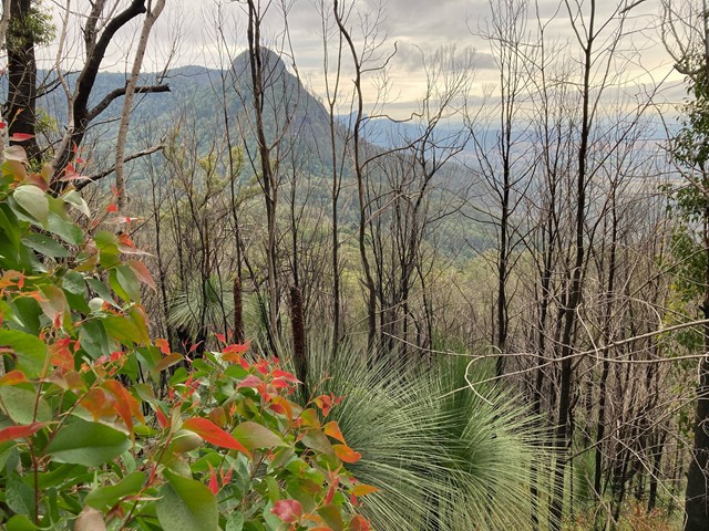
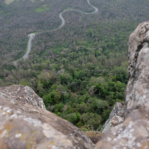
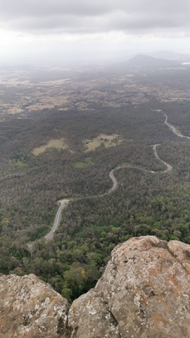
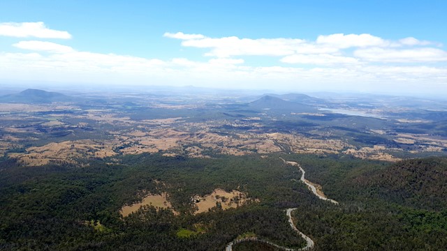
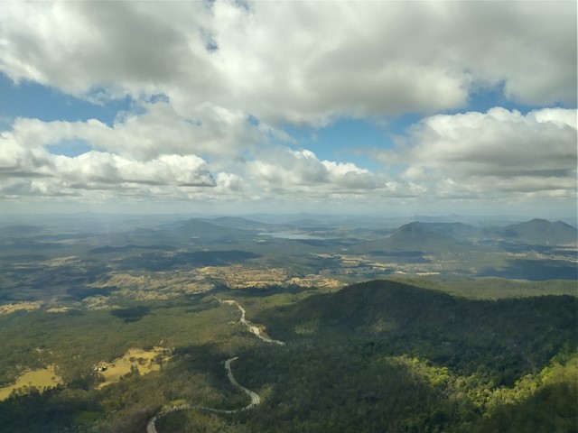
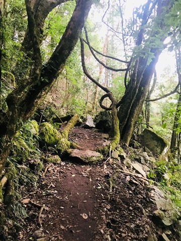
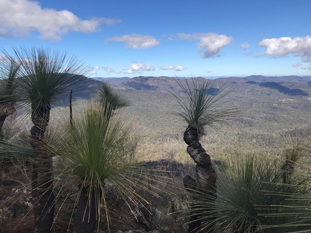
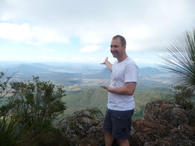
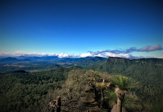
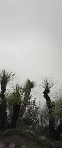
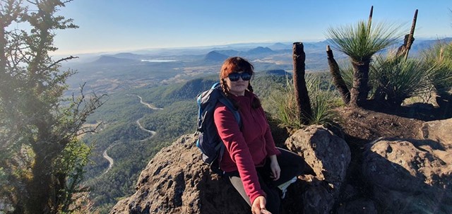
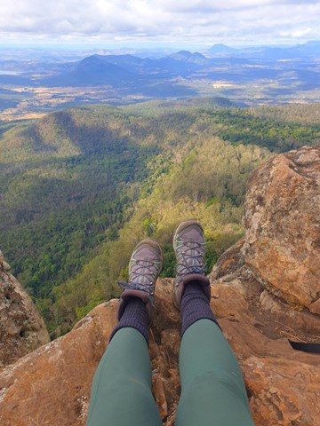

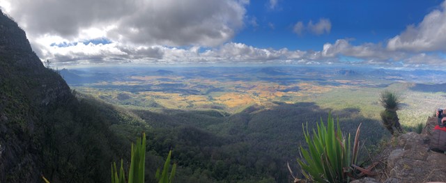

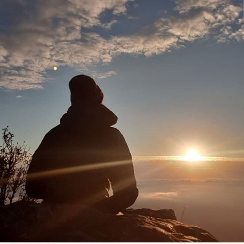
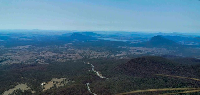

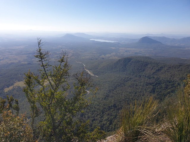
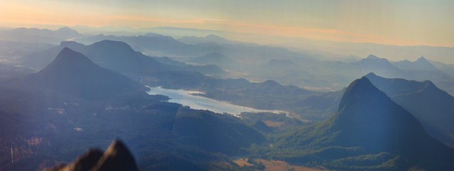
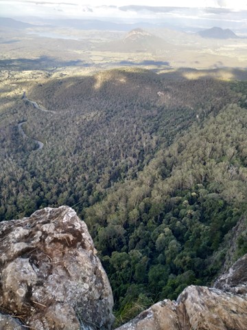

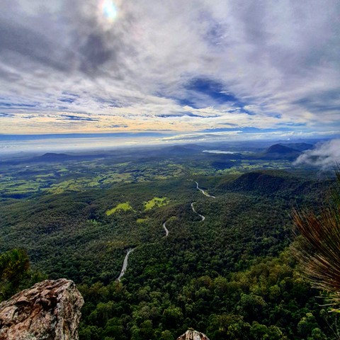

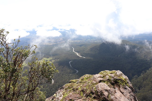

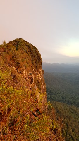
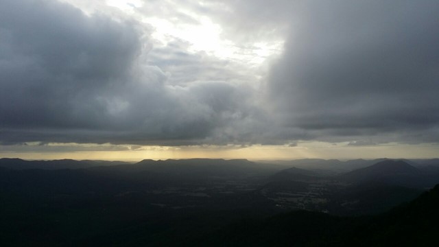
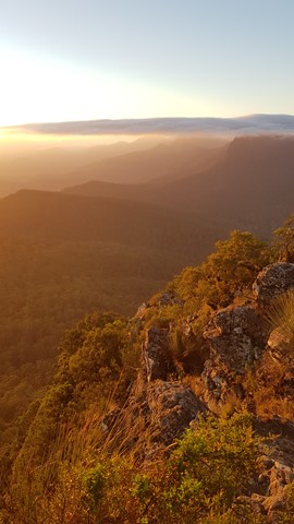
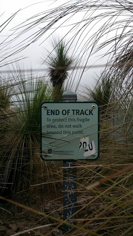
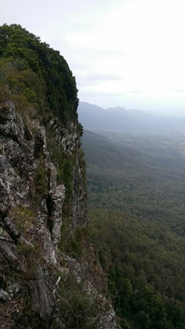
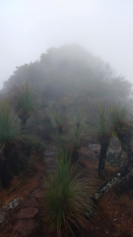
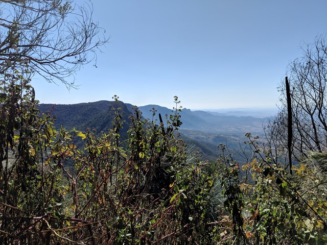
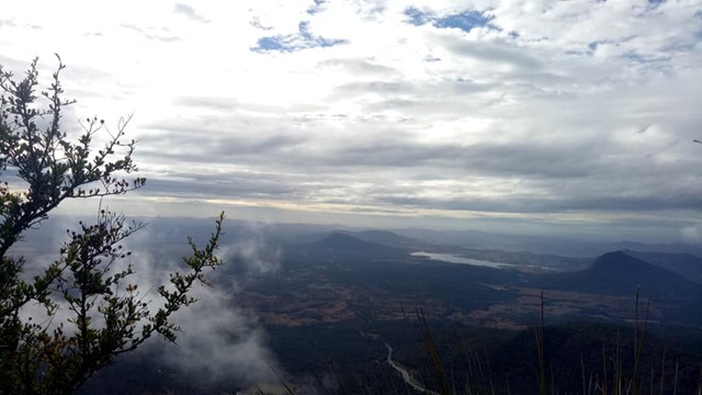
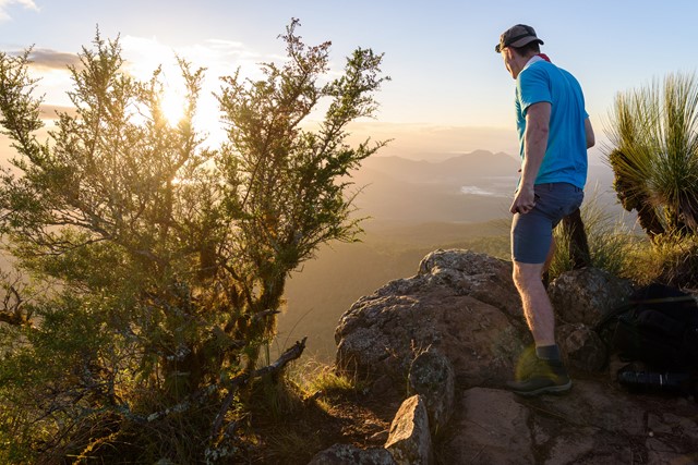
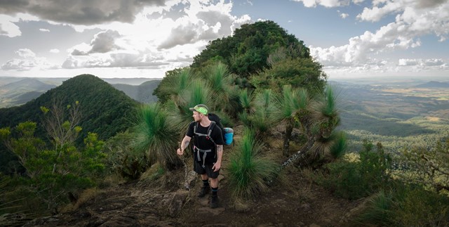

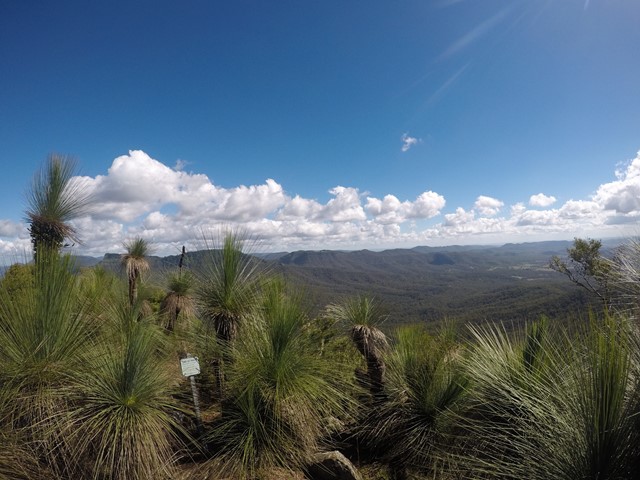
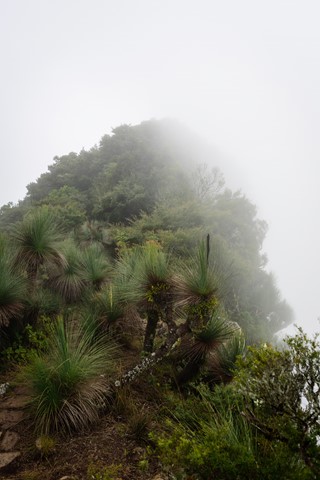
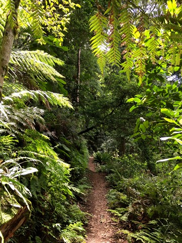


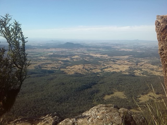
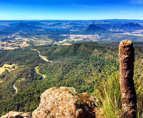
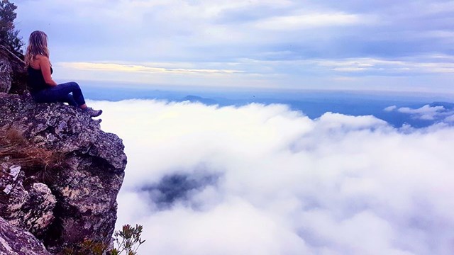
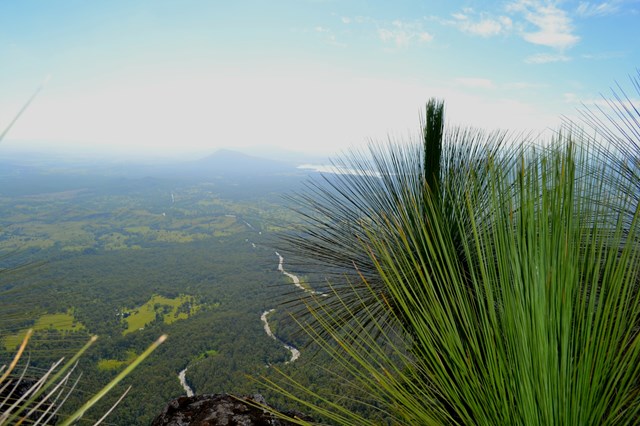
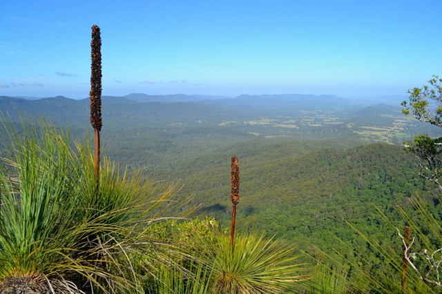


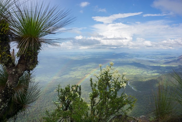

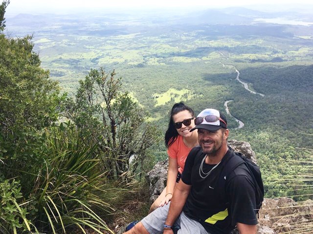
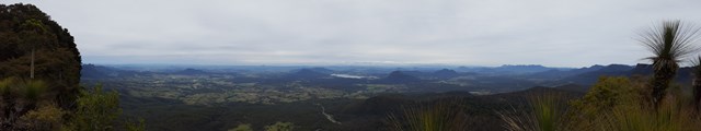
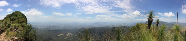
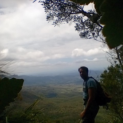

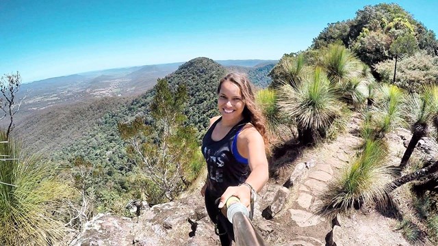
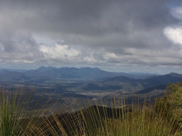
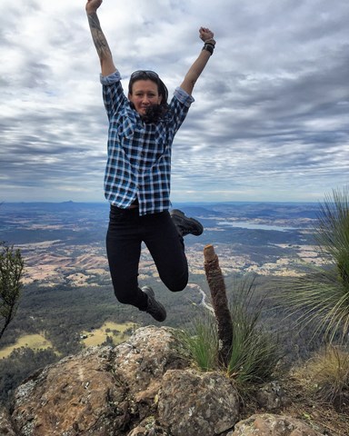
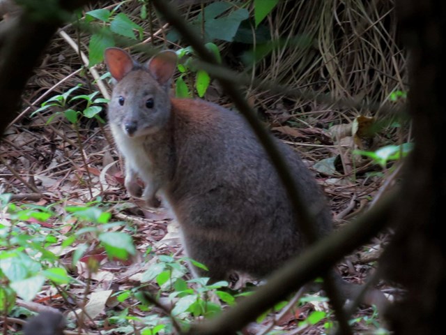
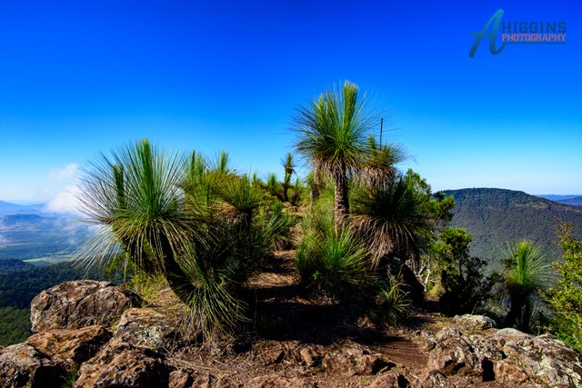
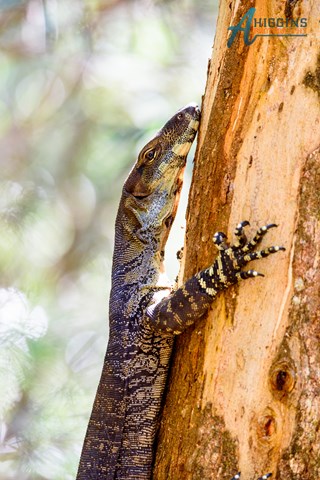

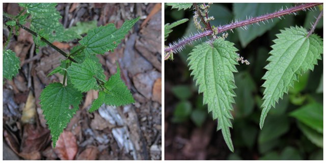
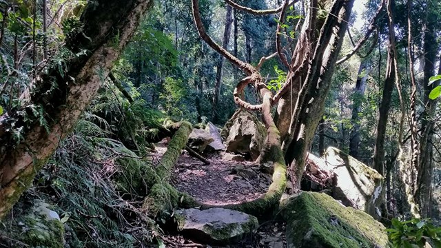
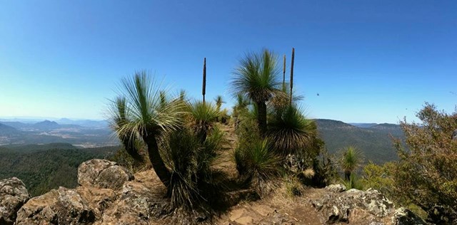
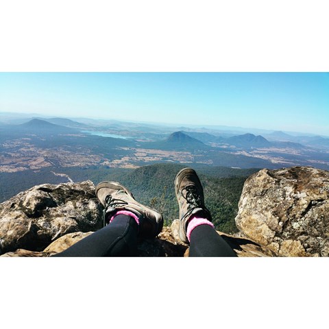
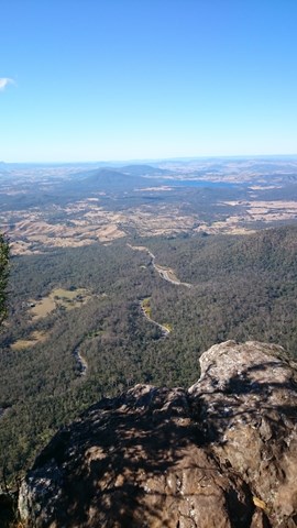
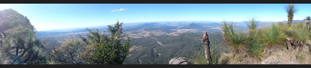

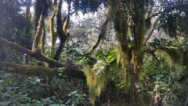
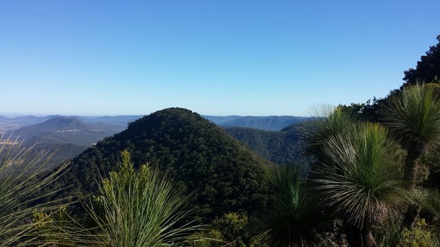
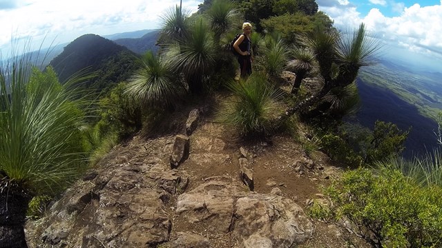
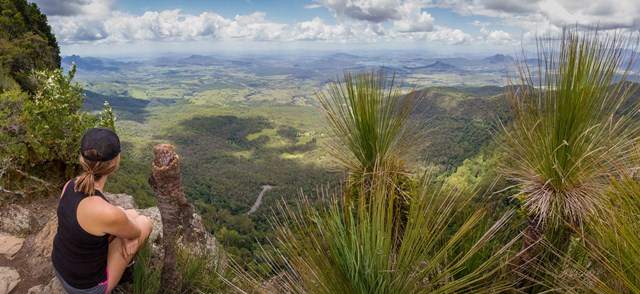
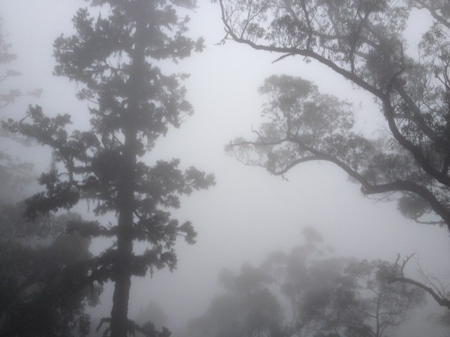
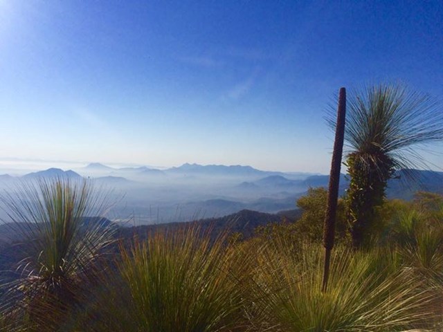
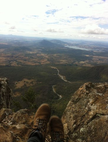
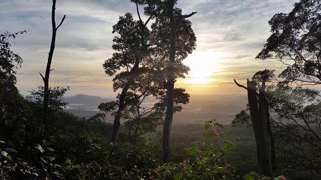
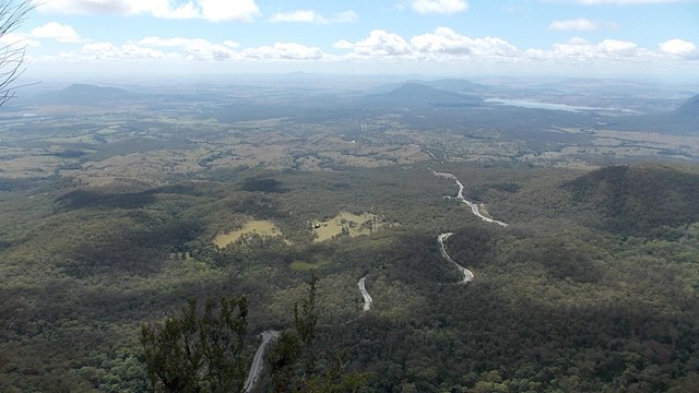
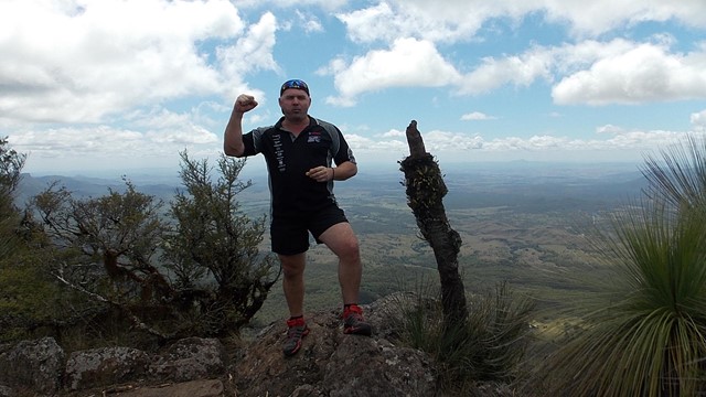
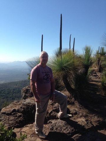
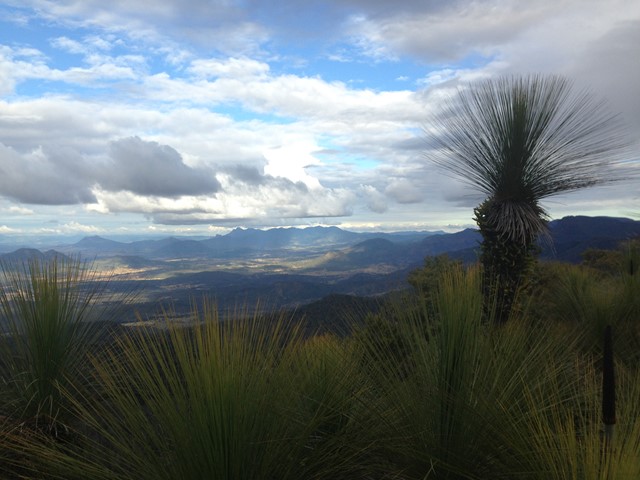

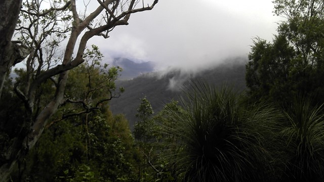
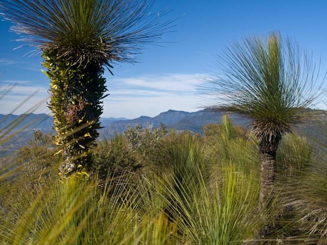

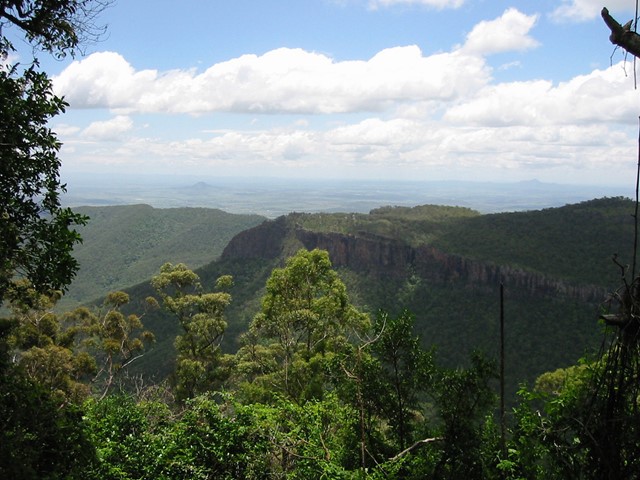
Mt Mitchell, one of two peaks on either side of Cunningham's Gap, is a good track walk which provides great views of Main Range, the Moogerah Peaks and through to Mt Barney. There is a wide variety of biome types along the track, including luxuriant rainforest, eucalyptus forest, and montane heath, as well as impressive natural rock formations, making this an incredibly scenic walk. Now starting at West Gap Picnic area which adds 5km to the trip, making it 5 to 5.5 hours as per the new sign at West Gap

 Getting there
From Brisbane follow the Cunningham Highway towards Cunningham's Gap. At the top of the gap turn right into 'crest' carpark adjoining the highway. The Mt Mitchell track leaves on the opposite side of the road, so take care when crossing! Note that the carpark is rather small, so try to get there early to maximise your chances of securing a spot.

Maps
The track is clearly marked so no map is required, however the Sunmap Cunninghams Gap sheet covers the area.
 Mt Mitchell Walk (GPX)
 15
15 4.5
4.5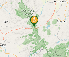
Comments