
Castle Rock
Girraween National Park


Menu
GPS Tracks
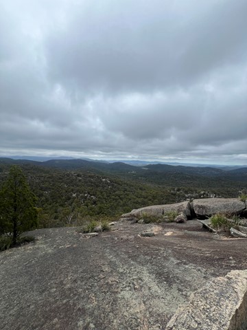
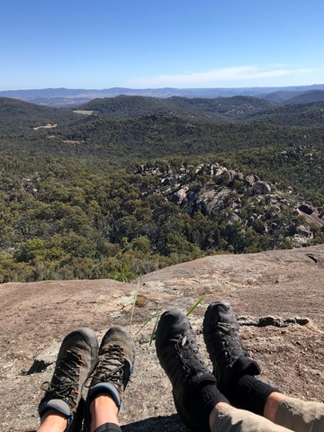
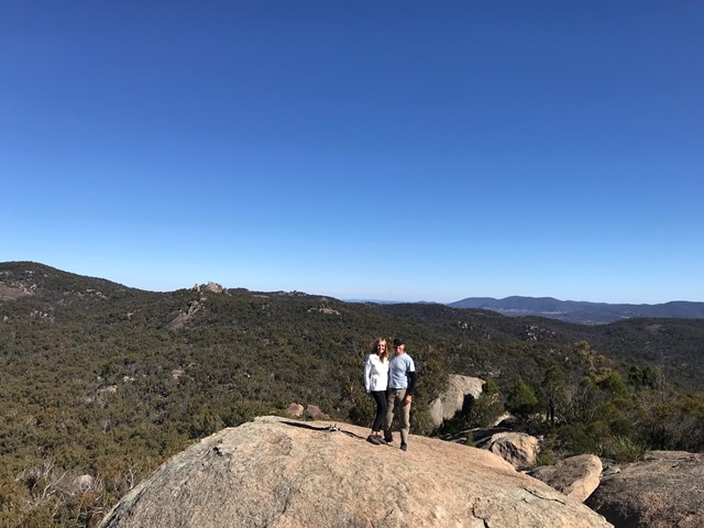
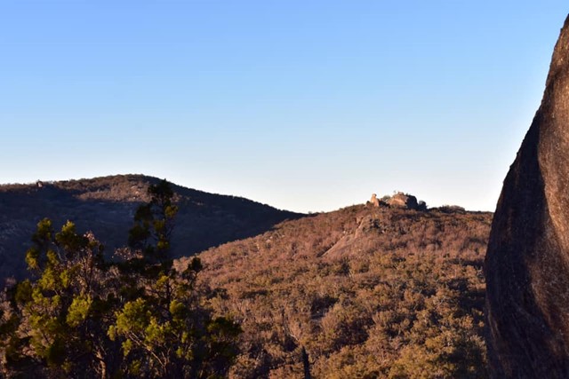

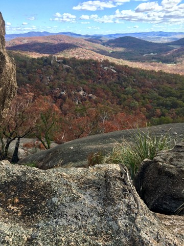

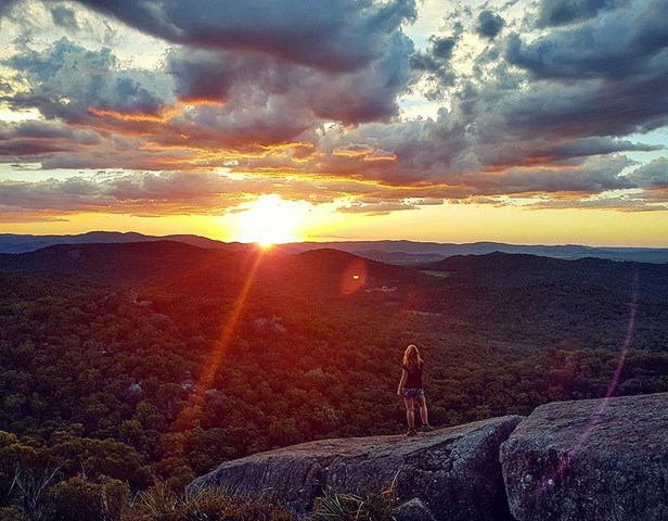
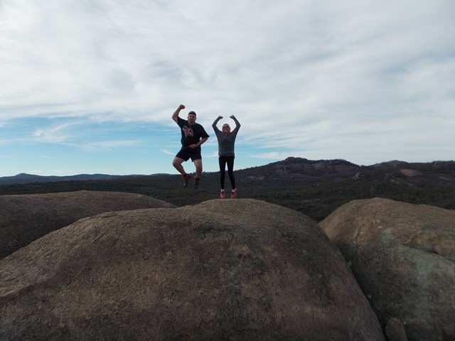
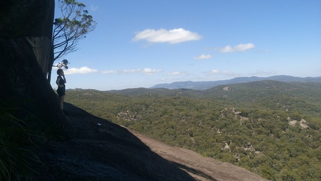
Panoramic views from Castle Rock are breathtaking including The Pyramids and Mt Norman.
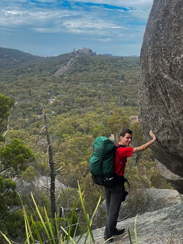
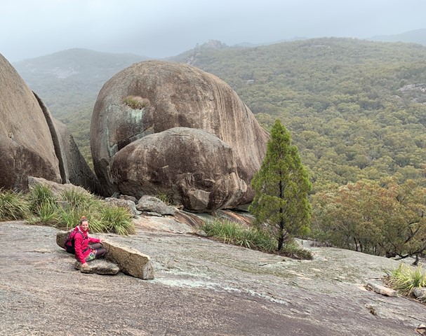
Officially rated Grade 4/Hard, this walk requires a moderate fitness level, some scrambling skills and confidence with heights.

Getting there:
Girraween NP is situated approximately 260km by road south-west of Brisbane. To reach the park, turn off the New England Highway 26km south of Stanthorpe or 30km north of Tenterfield onto Pyramids Road. The winding bitumen road continues a further 9km east through the Wyberba Valley to the park's Information Centre and day use picnic area.
An alternative road from Stanthorpe to Girraween via Eukey and Storm King Dam has some gravel sections.
Maps:
Route/Trail notes:
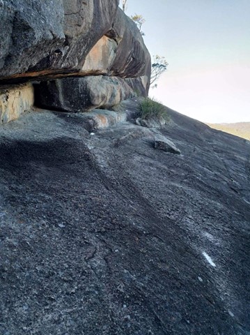
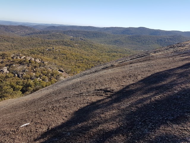
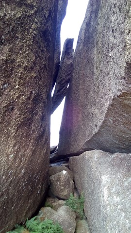
Walk up through Castle Rock Camping area to the top where the track is well marked and passes through a variety of vegetation types to the base of the rock. The final section is along exposed granite that circles the rock to the summit with the last section through a crevasse to the top. From the summit you get a great view around Girraween's many peaks.
As with all of Girraween's granite it can become very slippery when wet and should not be attempted in damp conditions. The walk is also quite exposed so be prepared if you're wary of heights.
Return by the same route.
Other References/Comments:
With so many bushwalking options in the park, why not take advantage of the excellent camping facilities at Castle Rock.
This walk is often in conjunction with The Sphinx and Turtle Rock which adds an extra 3.7km to your walk.
 425 Castle Rock (GPX)
 4.4
4.4 90
90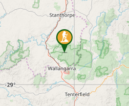
Comments