
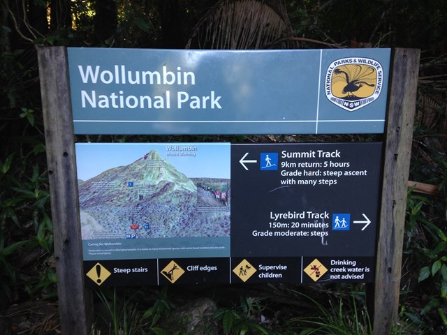
Mt Warning Summit Trail
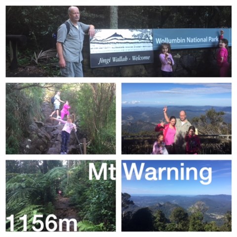
Wollumbin National Park


Menu
GPS Tracks


MOUNT WARNING SUMMIT TRAIL HAS BEEN CLOSED SINCE COVID, BUT IT IS NOW PROPOSED TO REOPEN THE TRACK IN JULY 2026.
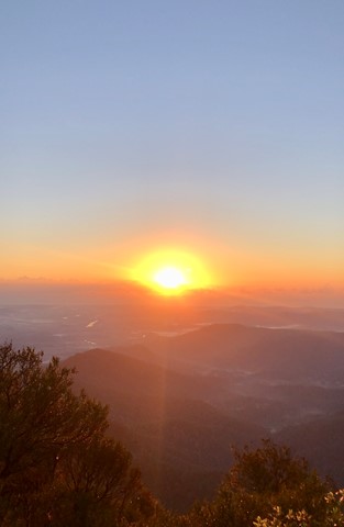
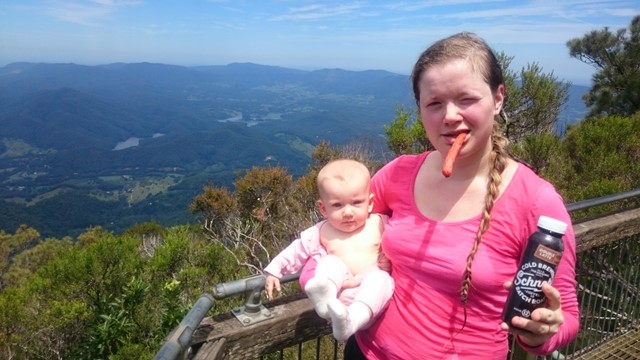
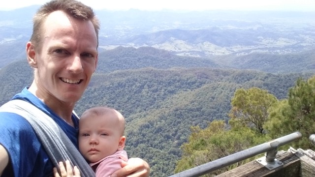
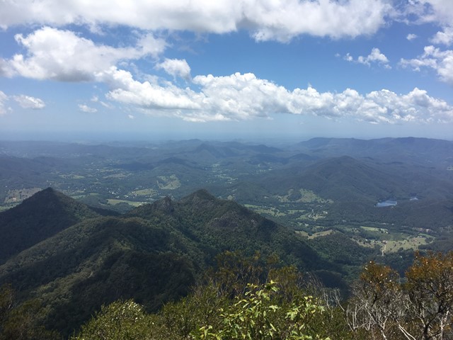
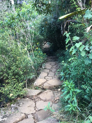
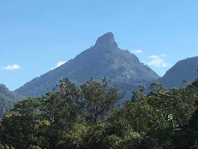
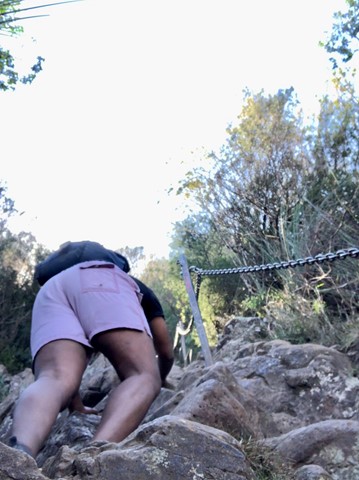
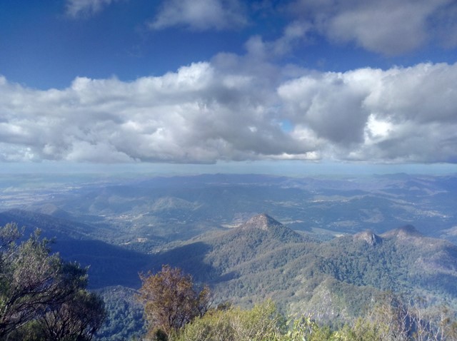
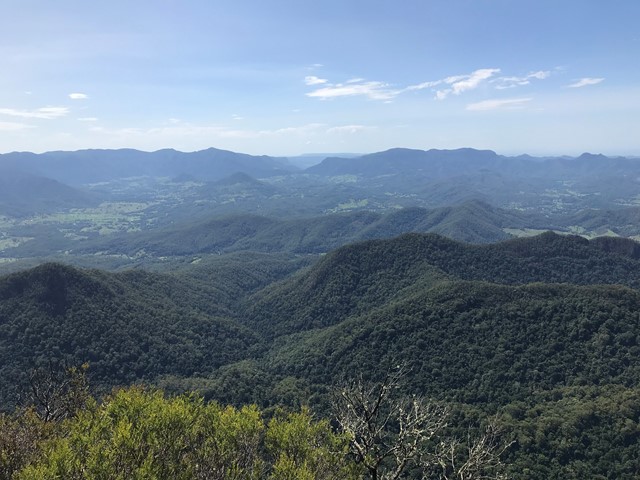
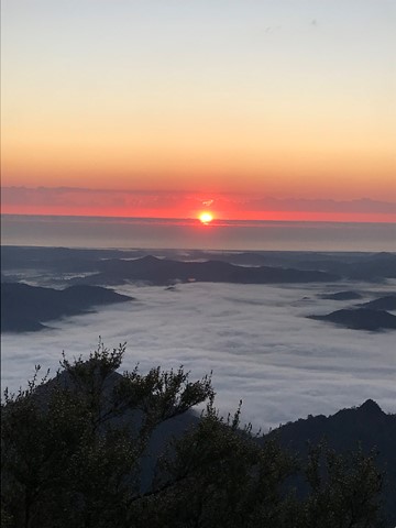
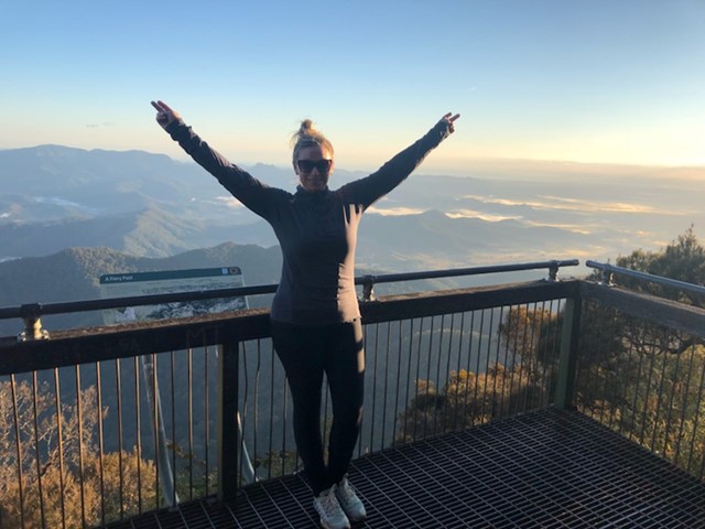
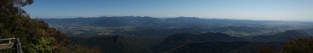
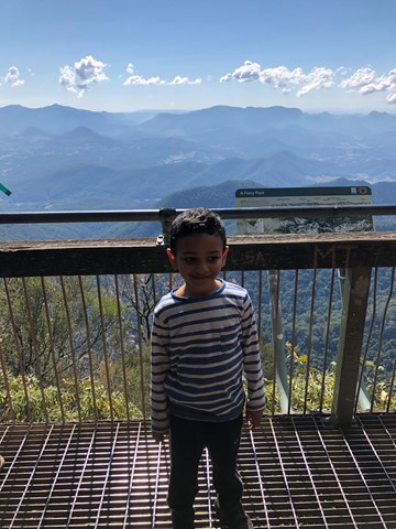
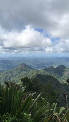
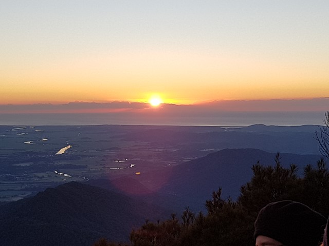
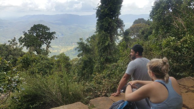
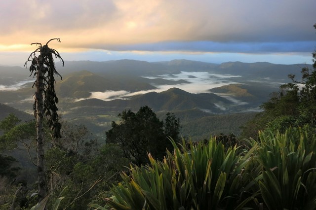
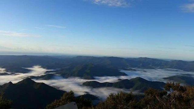
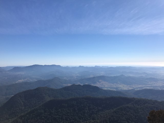
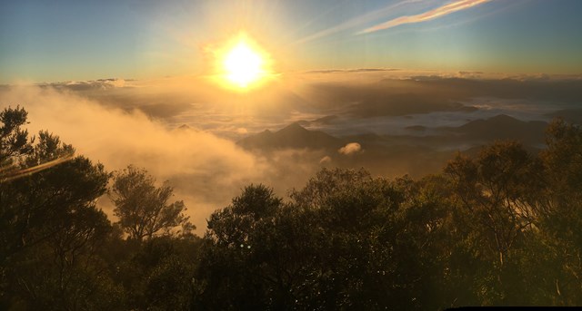
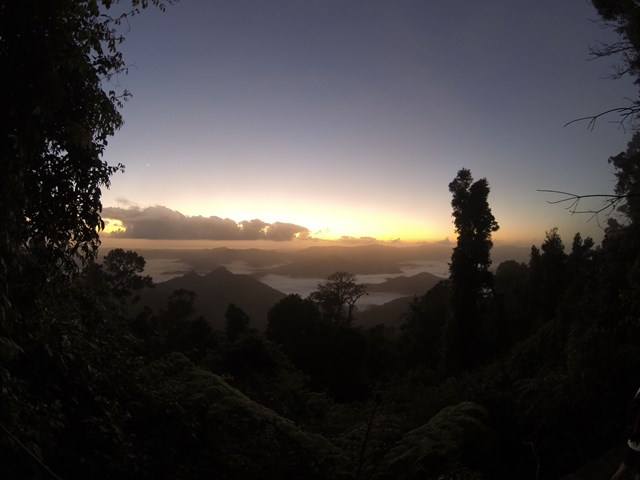
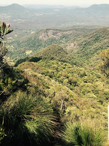
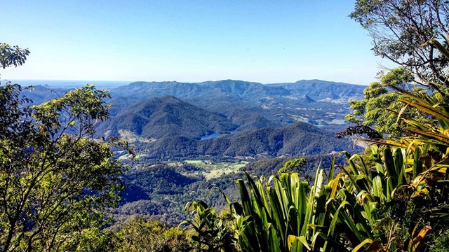
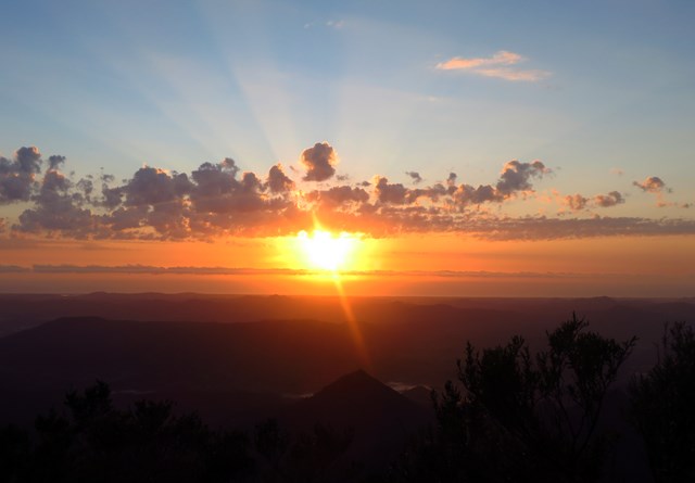
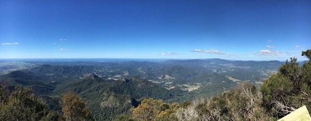
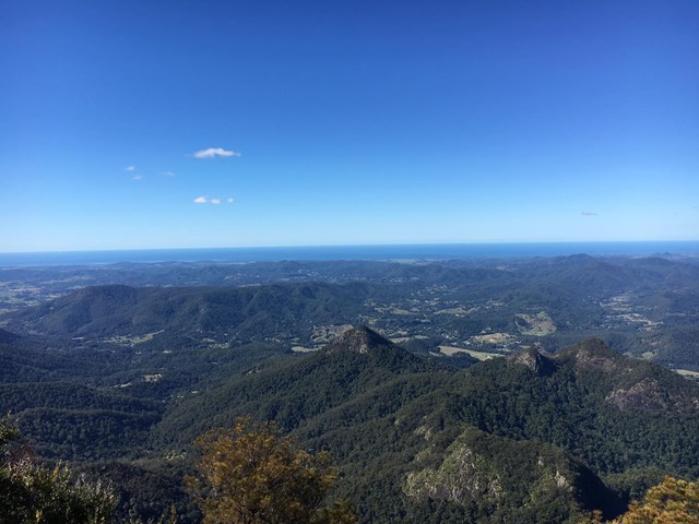
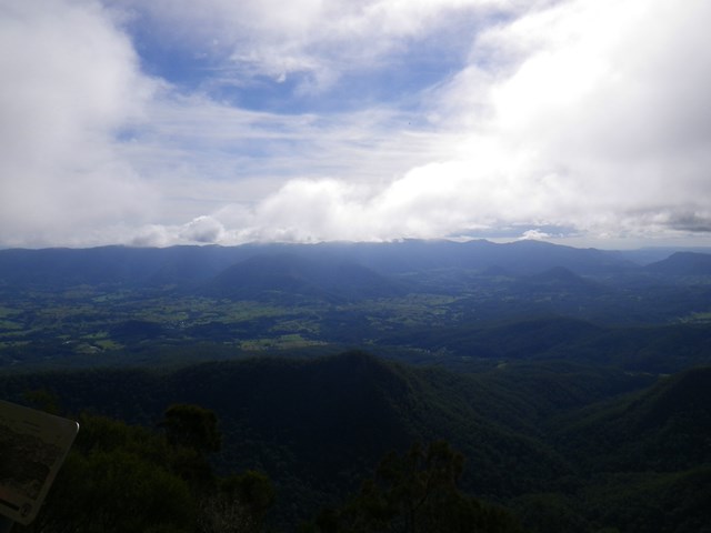
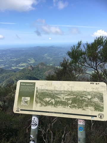
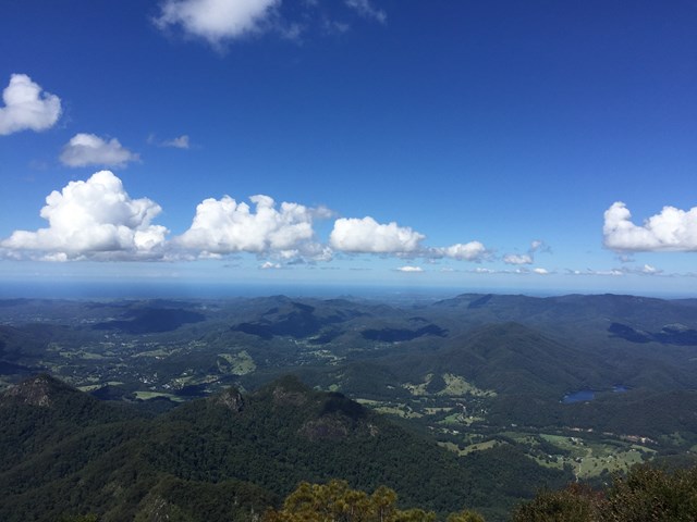
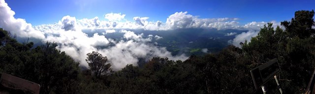
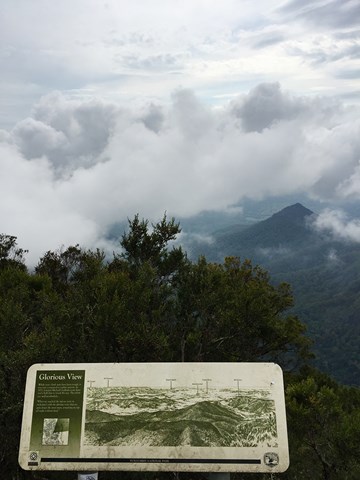
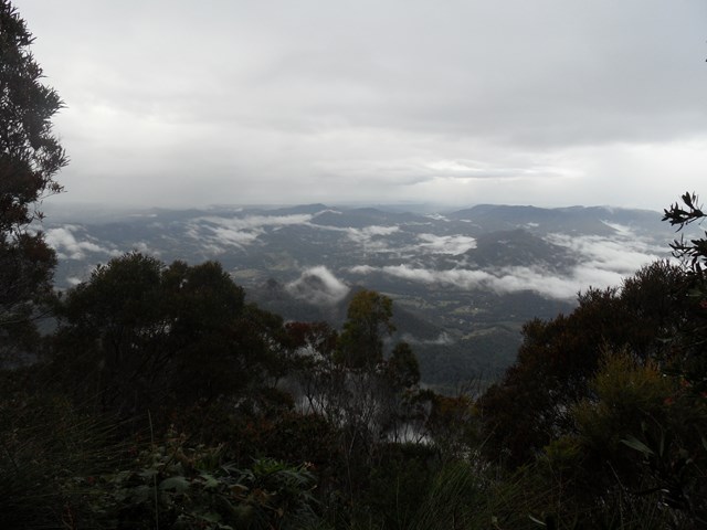
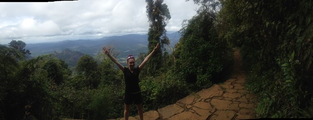
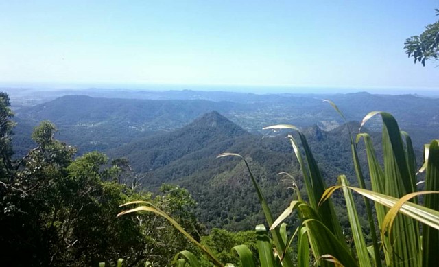
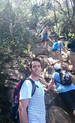
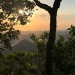
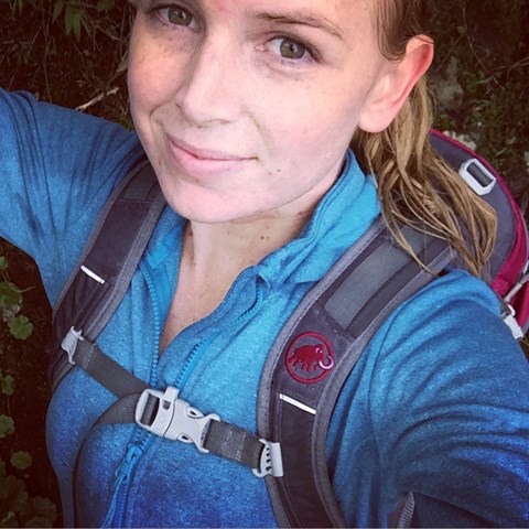
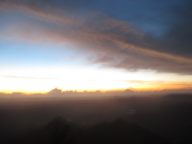
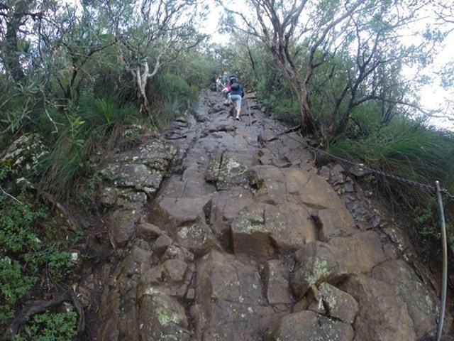
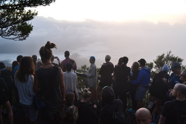
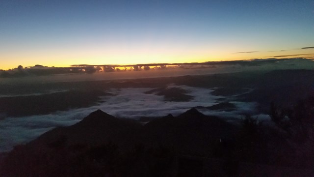
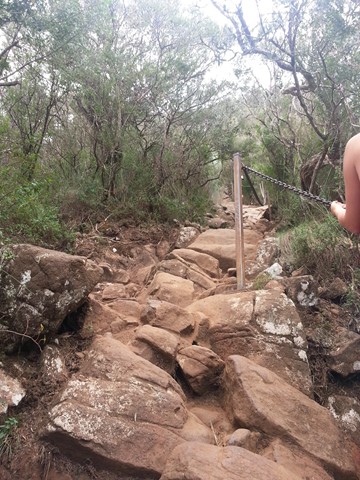
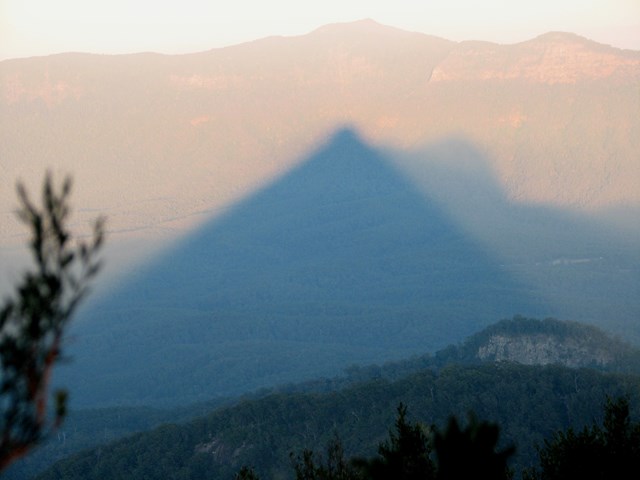
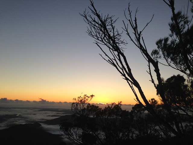
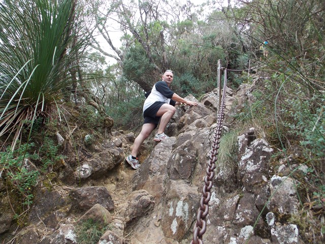
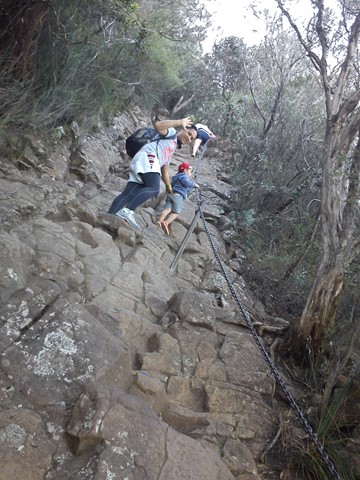
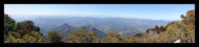
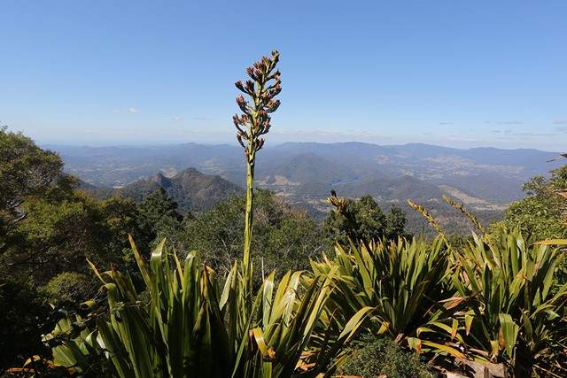
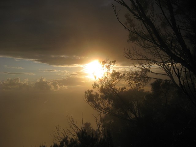
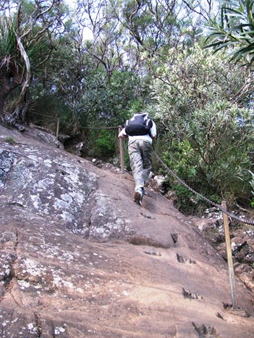
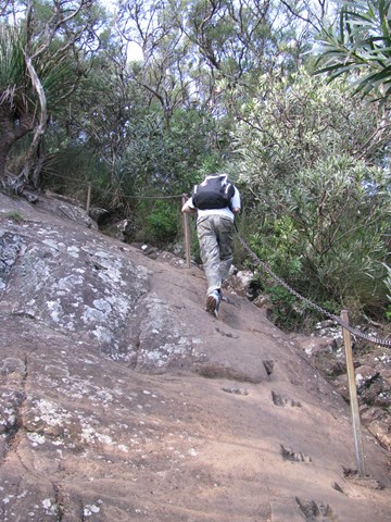
A trail to the summit of Mt Warning offers beautiful 360 degree views of the Great Dividing Range from the peak. Lots of steps, can be slippery. A steep climb to the summit using chains, but the views from the top are worth it!

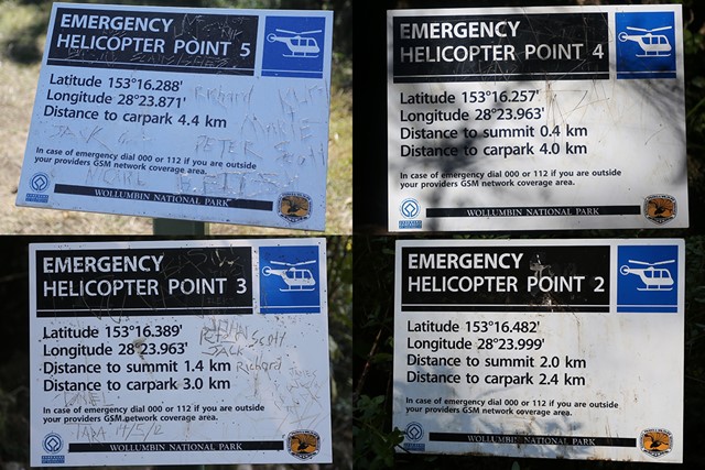
The Mt Warning Summit Trail is currently closed
See details on the closure from NSW National Parks here: https://www.nationalparks.nsw.gov.au/-/media/visitor/files/pdf/wollumbin-summit-track-closure-extended-nov-2020.pdf
Getting there:
You can drive to the base of Mt Warning in a normal vehicle by following roads out of Murwillumbah.
Wollumbin National Park is located 12km south-west of Murwillumbah, off Kyogle Road.
From Murwillumbah: take the Kyogle Rd towards Uki. Around 10km from Murwillumbah, before you reach Uki, turn right into Mt Warning Road. Continue 3.5km to the end of Mt Warning Rd, where you’ll reach Breakfast Creek car park in the National Park.
Maps:
Route/Trail notes:
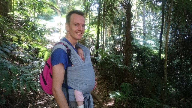
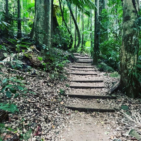
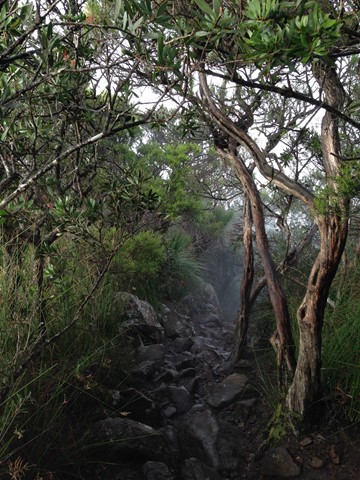
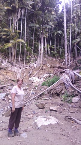
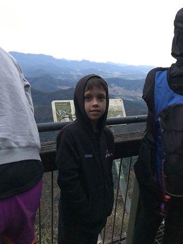
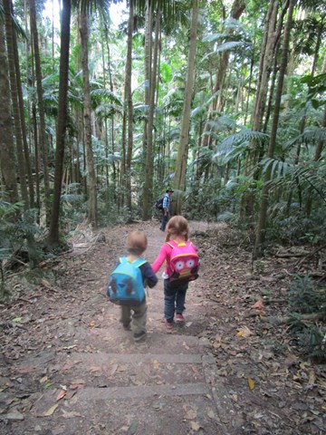
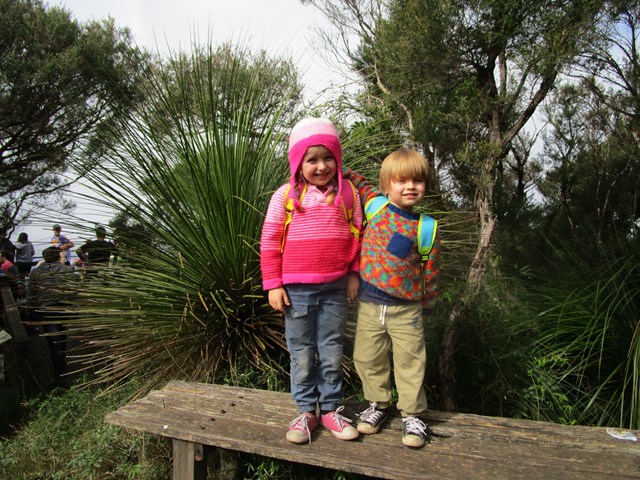
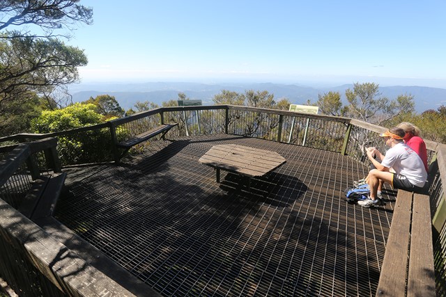
The walk up is through subtropical and temperate rainforest, wet sclerophyll forest and heath shrubland. The final 10% of the journey involves scrambling up a rock face using chains as a guide and help. The top of the mountain has well established seating and lookout areas that have 360 degree views
Permits/Costs:
None.
Other References/Comments:
Mount Warning Hike - track notes
 25 Mt Warning Summit Trail (GPX)
 8.3
8.3 5
5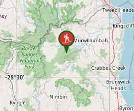
Comments